


|
|
|
|
|
|
| Jerry Pillarelli | profile | all galleries >> Travel and Nature; Sites by State >> US Travel; by Trip, by State >> Texas >> Castner Range National Monument ñ Texas | tree view | thumbnails | slideshow |
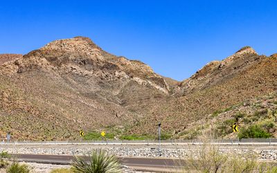
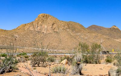 Rugged mountain range along Texas Highway 375 in Castner Range NM |
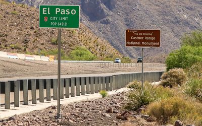 Signs at the entrance to Castner Range NM |
 US Army unexploded ammunition warning signs in Castner Range NM |
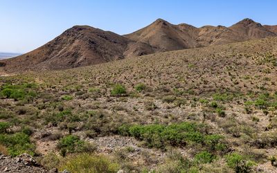 Hills along Texas Highway 375 in Castner Range NM |
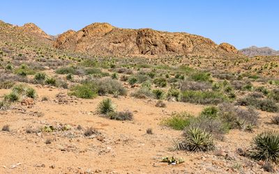 Large rock formation in Castner Range NM |
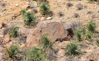 Desert plant life around a large boulder in Castner Range NM |
 Towering cliffs and rock formations in Castner Range NM |
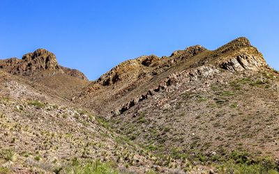
 Desert mountains in Castner Range NM |
 Rock outcropping in Castner Range NM |
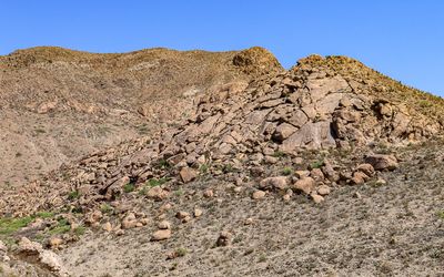 Boulders on the side of a hill in Castner Range NM |
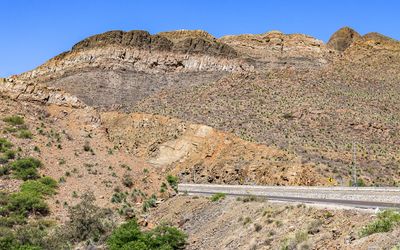
 Rock layers in Castner Range NM |
 Ocotillo plants top a layer formation in Castner Range NM |
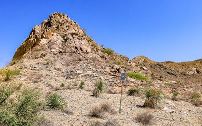
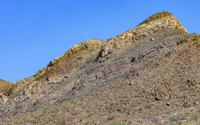
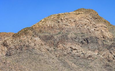
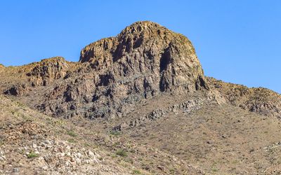 Prominent mountain top in Castner Range NM |
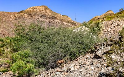 Creosote bush with mountainous desert in Castner Range NM |
 Layered rock mountaintop in Castner Range NM |
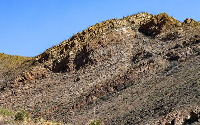
 Sedimentary rock weathered by erosion in Castner Range NM |
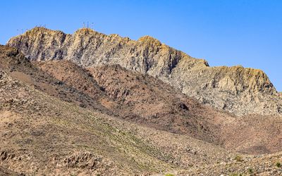 View of towers on a mountaintop from Castner Range NM |
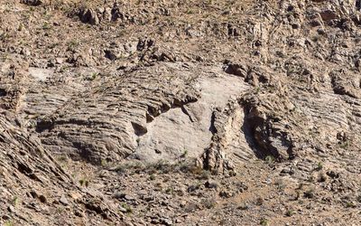
 Stratified rock layers on a mountain in Castner Range NM |
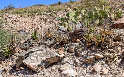 Prickly pear cactus and agave plants in Castner Range NM |
 Former artillery range warning sign in Castner Range NM |
| comment | share |