


|
|
|
|
|
|
| Jerry Pillarelli | profile | all galleries >> Travel and Nature; Sites by State >> US Travel; by Trip, by State >> Louisiana >> Poverty Point National Monument and World Heritage Site – Louisiana | tree view | thumbnails | slideshow |
 World Heritage Site designation on the park signage in Poverty Point NM |
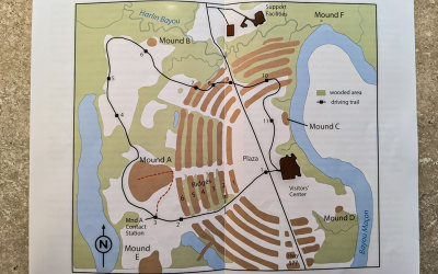 Map of mounds, ridges and plaza in Poverty Point NM |
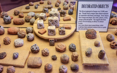 Decorated artifacts found in Poverty Point NM |
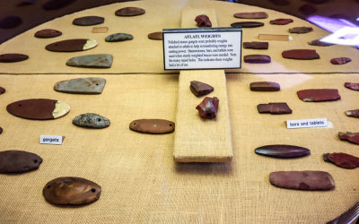 Weights, polished stones used by the ancient inhabitants in Poverty Point NM |
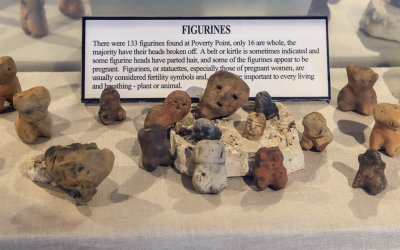 Figurines found in Poverty Point NM |
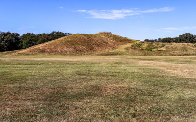 Mound A, one of the biggest aboriginal earthworks in North America, built after 1400 B.C. in Poverty Point NM |
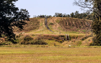
 Looking up the ramp to the top of Mound A in Poverty Point NM |
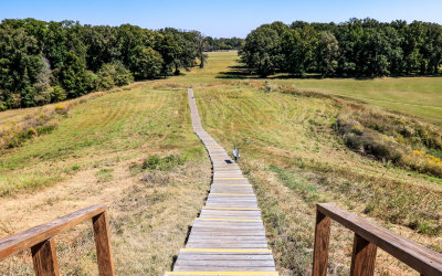 View down the Mound A ramp in Poverty Point NM |
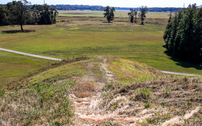 Mound E as seen from the top of Mound A in Poverty Point NM |
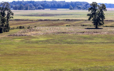 Closeup of Mound E as seen from the top of Mound A in Poverty Point NM |
 Wildflowers in Poverty Point NM |
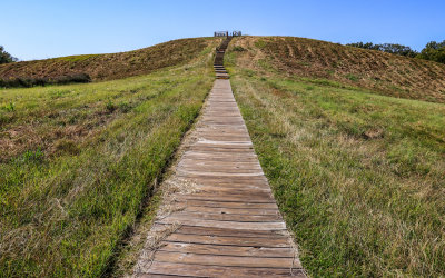 Looking up the ramp to the top of Mound A in Poverty Point NM |
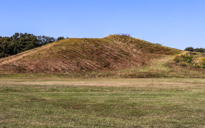 Mound A, one of the biggest aboriginal earthworks in North America, in Poverty Point NM |
 Distant view of Mound A in Poverty Point NM |
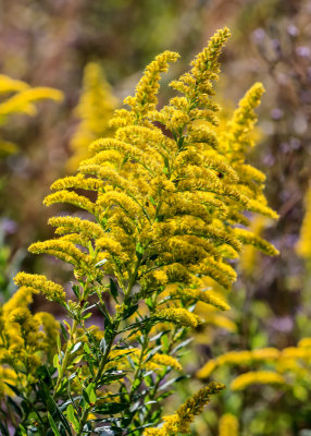 Goldenrod growing in Poverty Point NM |
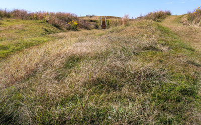
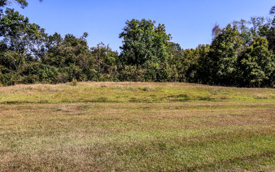
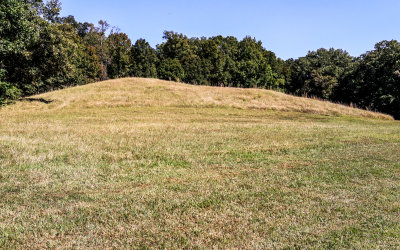 Mound B, the oldest mound in Poverty Point NM |
 View of Mound B where construction began about 1600 B.C. in Poverty Point NM |
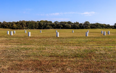 Markers in postholes on the plaza in Poverty Point NM |
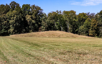
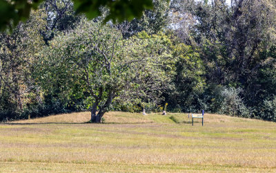
 Mound C next to Bayou Macon in Poverty Point NM |
 Early Euroamerican graves (1851) on Mound D in Poverty Point NM |
| comment | share |