


|
|
|
|
|
|
| Jerry Pillarelli | profile | all galleries >> Travel and Nature; Sites by State >> US Travel; by Trip, by State >> California >> Mojave Trails National Monument ñ California | tree view | thumbnails | slideshow |
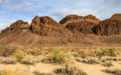
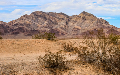
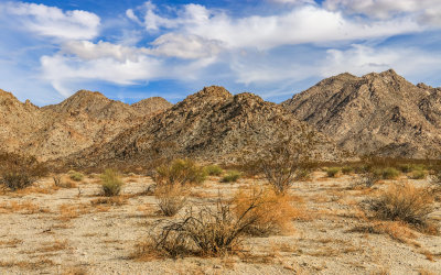
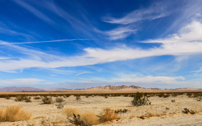
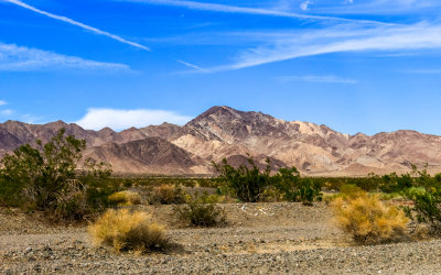 Marble Mountain range along US 66 in Mojave Trails National Monument |
 Rugged Marble Mountain range along US 66 in Mojave Trails National Monument |
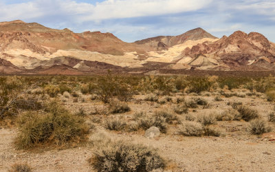
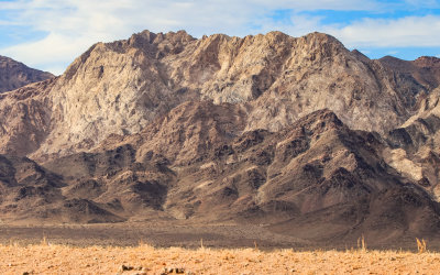
 Closeup of rugged Marble Mountain range along US Route 66 in Mojave Trails National Monument |
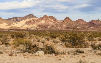
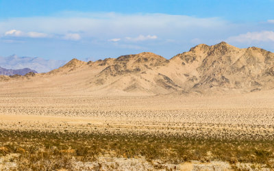
 Marble Mountain range along US 66 in Mojave Trails National Monument |
 Rugged Marble Mountain range along Kelbaker Road in Mojave Trails National Monument |
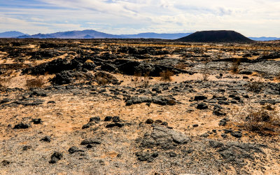
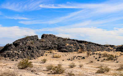
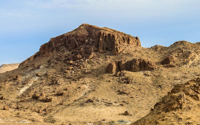
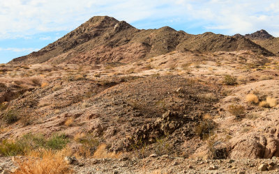
 Volcanic formation along US 66 in Mojave Trails National Monument |
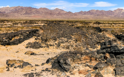
 Lava flow and Amboy Crater along US 66 in Mojave Trails National Monument |
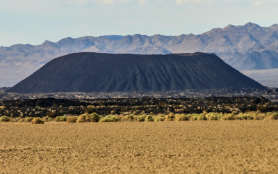 Amboy Crater National Natural Landmark along US 66 in Mojave Trails National Monument |
 Volcanic flow along US 66 in Mojave Trails National Monument |
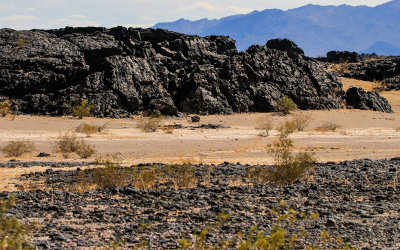
 Lava rock formation along US 66 in Mojave Trails National Monument |
 Volcanic rock along US 66 in Mojave Trails National Monument |
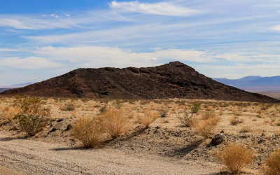
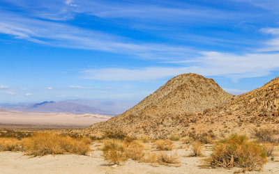
 Cinder cone mountain along US 66 in Mojave Trails National Monument |
 Marble Mountain range along US 66 in Mojave Trails National Monument |
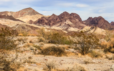
 View of a section of the Marble Mountain range along US 66 in Mojave Trails National Monument |
 Rock formation along I-40 in Mojave Trails National Monument |
 Sheephole Mountain along the Amboy Road in Mojave Trails National Monument |
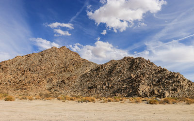 Rugged Sheephole Mountain along the Amboy Road in Mojave Trails National Monument |
 Sheephole Mountain along the Amboy Road in Mojave Trails National Monument |
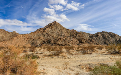
 Section of Sheephole Mountain range along the Amboy Road in Mojave Trails National Monument |
 View of the valley from the Sheephole Mountain area along the Amboy Road in Mojave Trails National Monument |
 The Cadiz Dunes Wilderness viewed across the valley from the Amboy Road in Mojave Trails National Monument |
 View of the Cadiz Dunes Wilderness from the Amboy Road in Mojave Trails National Monument |
 Looking north along the Amboy Road in Mojave Trails National Monument |
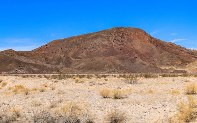
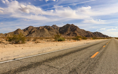
 Mountain view along Route 66 in Mojave Trails National Monument |
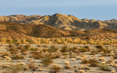 Sunset hues of the mountains from I-40 in Mojave Trails National Monument |
| comment | share |