


|
|
|
|
|
|
| Jerry Pillarelli | profile | all galleries >> Travel and Nature; Sites by State >> US Travel; by Trip, by State >> Arizona >> Tonto National Forest - Superstition Wilderness - Arizona | tree view | thumbnails | slideshow |
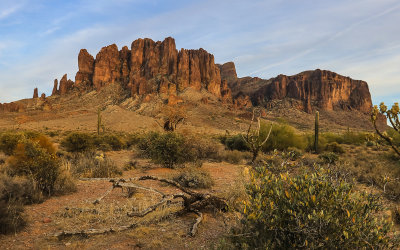
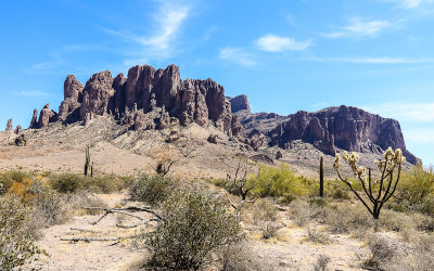 The Superstition Mountain Range from the Siphon Draw Trail in Tonto National Forest |
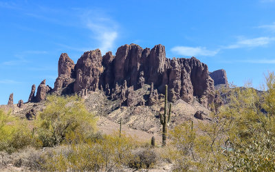 The Superstition Mountains with the Flatiron on the right from the Siphon Draw Trail in Tonto National Forest |
 The Superstition Mountain Range before sunset in Tonto National Forest |
 The Superstition Mountain Range in an overcast sunset in Tonto National Forest |
 The Superstition Mountains at sunset in Tonto National Forest |
 Superstition Mountain sunrise from the Siphon Draw Trail in Tonto National Forest |
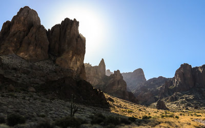
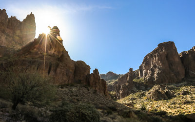
 The sun glows behind a Superstition Mountain peak along the Siphon Draw Trail in Tonto National Forest |
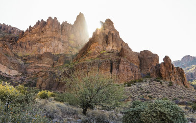 The sun appears over a Superstition Mountain peak in Tonto National Forest |
 View along the Siphon Draw Trail at sunrise in Tonto National Forest |
 The Superstition Mountains from the Siphon Draw Trail in Tonto National Forest |
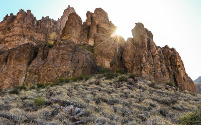 The sun over a Superstition Mountain peak from the Siphon Draw Trail in Tonto National Forest |
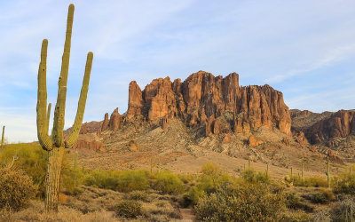
 The Flatiron (right) from the Basin in the Superstition Wilderness in Tonto National Forest |
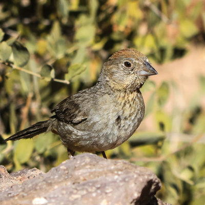 Bird along the Siphon Draw Trail in Tonto National Forest |
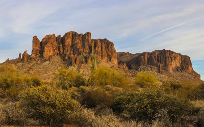
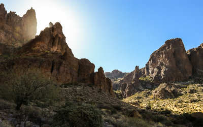
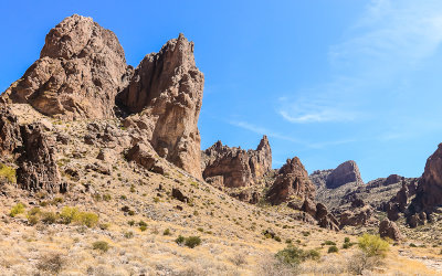
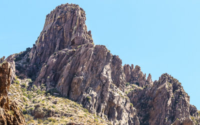 Peak in the Superstition Mountain Range from the Siphon Draw Trail in Tonto National Forest |
 Superstition Mountain Range from Basin along the Siphon Draw Trail in Tonto National Forest |
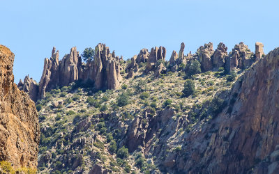 Superstition Mountain Range ridge in Tonto National Forest |
 View of mountain peaks from the Siphon Draw Trail in Tonto National Forest |
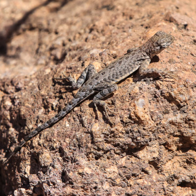 Lizard on a rock along the Siphon Draw Trail in Tonto National Forest |
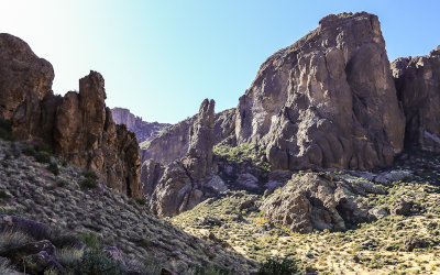
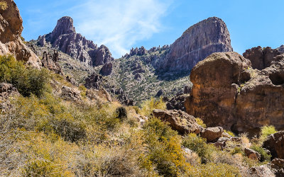
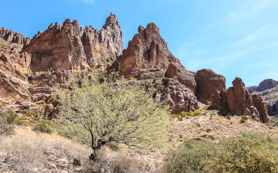
 View of the Superstition Wilderness along the Siphon Draw Trail in Tonto National Forest |
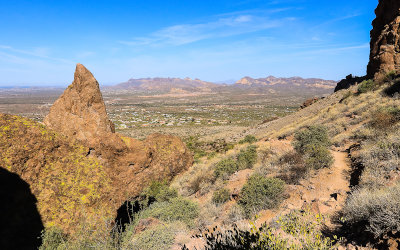 Looking toward Phoenix from the Superstition Mountain Range in Tonto National Forest |
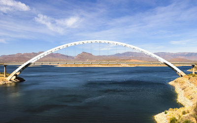 Highway 188 bridge over Roosevelt Lake in Tonto National Forest |
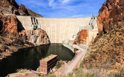 Roosevelt Dam on the Salt River in Tonto National Forest |
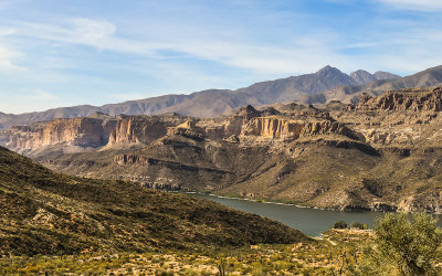 Apache Lake from the Apache Trail Scenic Byway in Tonto National Forest |
 Mountain peaks along the Apache Trail Scenic Byway in Tonto National Forest |
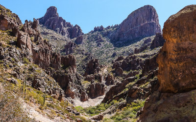
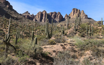
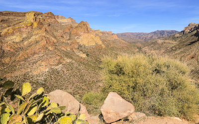
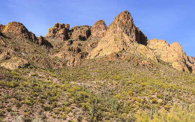 Superstition Wilderness along the Apache Trail Scenic Byway in Tonto National Forest |
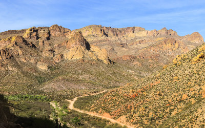 The Fish Creek Hill area along the Apache Trail Scenic Byway in Tonto National Forest |
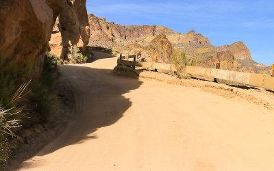 The unpaved Apache Trail Scenic Byway in Tonto National Forest |
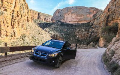 Subaru Crosstrek along the Apache Trail Scenic Byway near Fish Creek Hill in Tonto National Forest |
 The Fish Creek Hill area along the Apache Trail Scenic Byway in Tonto National Forest |
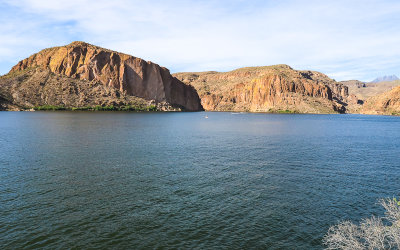 Canyon Lake from along the Apache Trail Scenic Byway in Tonto National Forest |
| comment | share |
| Don | 28-Nov-2022 02:09 | |
| Jola Dziubinska | 26-Nov-2022 22:49 | |
| Jola Dziubinska | 26-Nov-2022 22:47 | |
| Guest | 08-Apr-2018 23:44 | |
| Todd Rogers | 08-Apr-2018 21:00 | |