


|
|
|
|
|
|
| Jerry Pillarelli | profile | all galleries >> Travel and Nature; Sites by State >> US Travel; by Trip, by State >> Arizona >> Agua Fria National Monument – Arizona | tree view | thumbnails | slideshow |
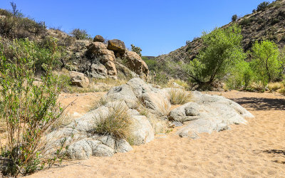 The Badger Springs Trail along the dry riverbed in Agua Fria National Monument |
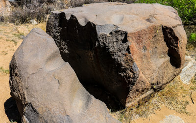 Broken bolder with grind stone wear markings along the Badger Springs Trail in Agua Fria National Monument |
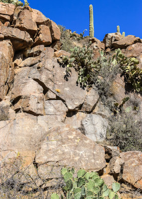 Petroglyphs along the Badger Springs Trail in Agua Fria National Monument |
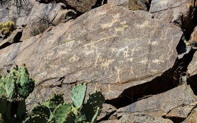 Badger Springs Trail lower petroglyphs in Agua Fria National Monument |
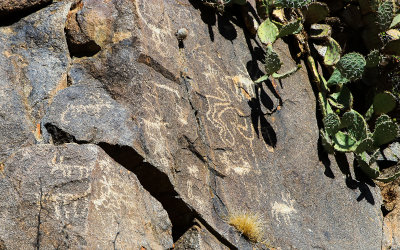 Upper petroglyphs along the Badger Springs Trail in Agua Fria National Monument |
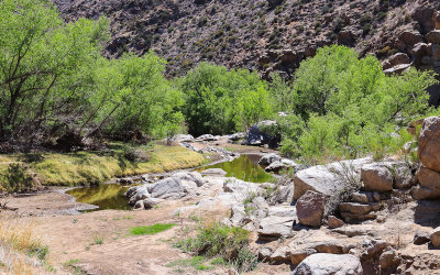 The Agua Fria River along the Badger Springs Trail in Agua Fria National Monument |
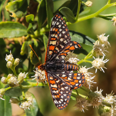 Butterfly along the Badger Springs Trail in Agua Fria National Monument |
 A pool of water in the Badger Springs Wash along the Badger Springs Trail in Agua Fria National Monument |
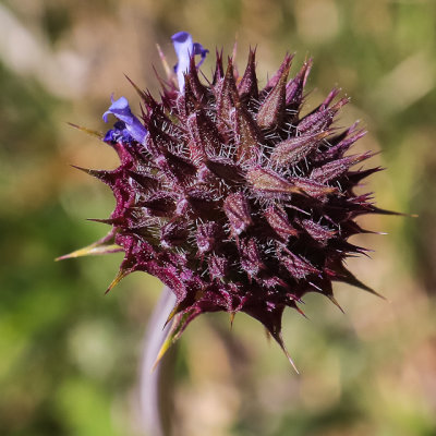 A flower pod along the Badger Springs Trail in Agua Fria National Monument |
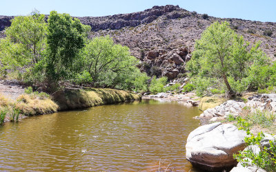 The Agua Fria River along the Badger Springs Trail in Agua Fria National Monument |
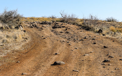
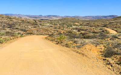 The Bloody Basin Road in Agua Fria National Monument |
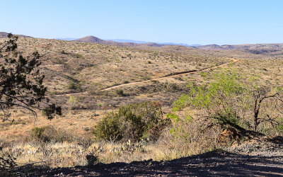
 View from the Bloody Basin Road in Agua Fria National Monument |
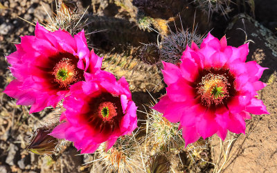 Hedgehog cactus flowers along the Bloody Basin Road in Agua Fria National Monument |
 The Bloody Basin Road through Agua Fria National Monument |
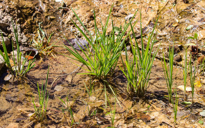
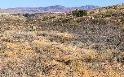
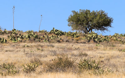 Plant life along the Bloody Basin Road in Agua Fria National Monument |
 “The road less traveled”; BLM Road 9023 to Pueblo la Plata in Agua Fria National Monument |
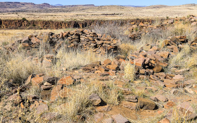 Pueblo la Plata on Perry Mesa in Agua Fria National Monument |
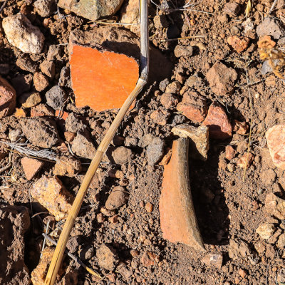 Shards of pottery at Pueblo la Plata in Agua Fria National Monument |
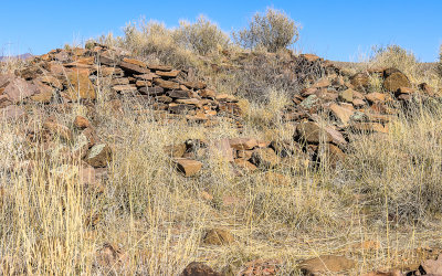 Ruins of Pueblo la Plata in Agua Fria National Monument |
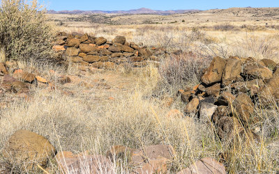 A room in Pueblo la Plata in Agua Fria National Monument |
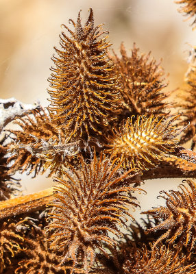 Well protected seed pods in Agua Fria National Monument |
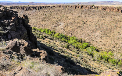 Silver Creek canyon near Pueblo la Plata in Agua Fria National Monument |
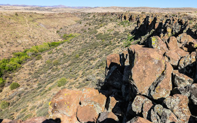 Pueblo la Plata water source, Silver Creek canyon in Agua Fria National Monument |
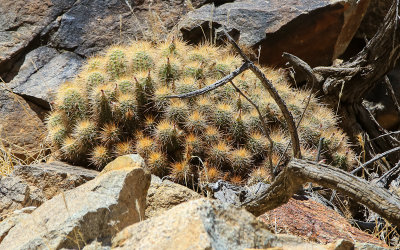 Large grouping of hedgehog cactus in Agua Fria National Monument |
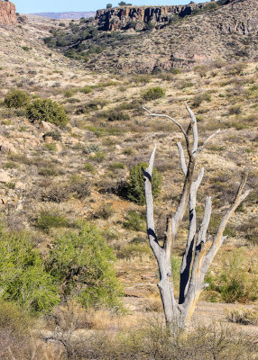 Dead tree near the mouth of Silver Creek canyon in Agua Fria National Monument |
| comment | share |