


|
|
|
|
|
|
| Jerry Pillarelli | profile | all galleries >> Travel and Nature; Sites by State >> US Travel; by Trip, by State >> Western Trip - Spring 2008 >> Canyonlands National Park, Utah | tree view | thumbnails | slideshow |
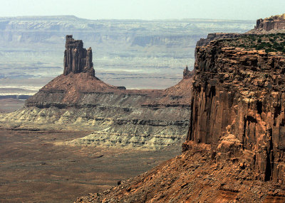
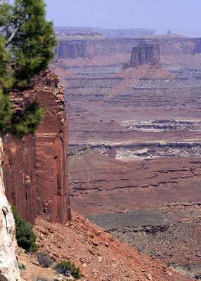
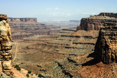
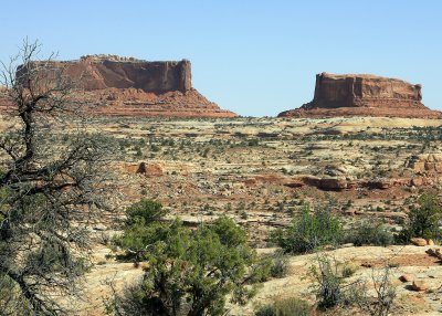 The Monitor and the Merrimack formations |
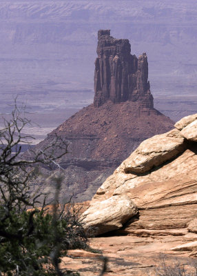
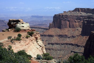
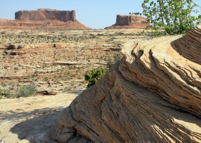 A rock formation with the Monitor and the Merrimack in the distance |
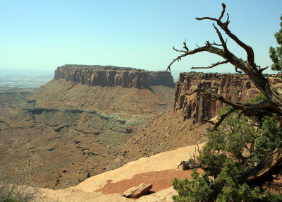
 A gnarled desert tree growing out of the rocks |
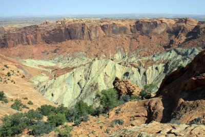 Upheaval Dome � sandstone/salt dome in a 1,500 foot deep crater |
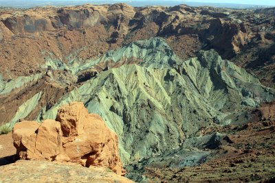 Upheaval Dome |
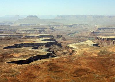 Green River Canyon |
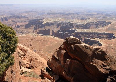 Edge of Monument Basin as seen from Grand View Point |
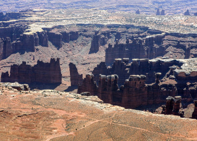 Edge of Monument Basin (close-up of towers) |
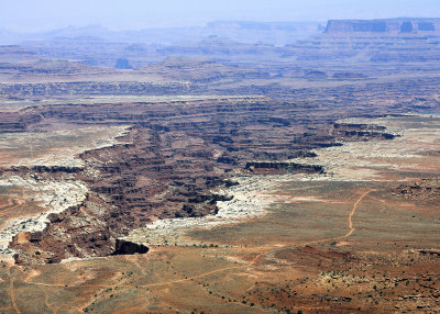 South fork of Buck Canyon |
 Junction Butte |
 Candlestick Tower |
 Candlestick Tower |
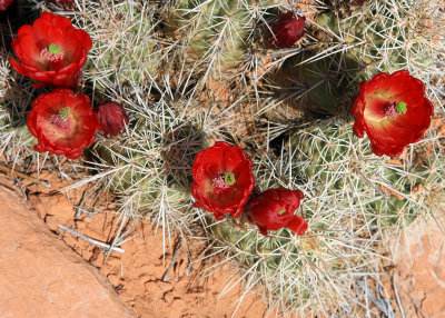 Cactus in bloom |
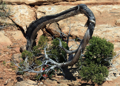 Survival in the desert |
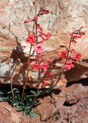 Flowering desert plant growing from beneath a rock |
 Monument Basin |
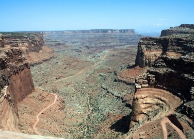 Shafer Canyon |
 Shafer Canyon |
 Shafer Canyon |
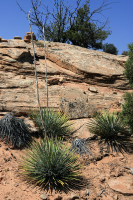 Yucca plants |
| comment | share |
| Jola Dziubinska | 26-Jan-2014 13:00 | |
| Photodelles | 15-Nov-2013 23:09 | |