


|
|
|
|
|
|
| Jeanie Sumrall-Ajero | profile | all galleries >> Rocky Mountain National Park >> Summer 2004 >> Hike over Thunder Pass | tree view | thumbnails | slideshow |
Scenes from "Over the Hill #4" (July 24, 2004). This year we hiked from the Colorado River Trailhead on CO Hwy 34 (in Rocky Mountain National Park) over the Continental Divide at Thunder Pass to the Michigan Ditch Trailhead at Cameron Pass on CO Hwy 14. The hike was 13 miles with a 2300' elevation gain from 9000' at the Colorado River Trailhead to 11,331' at Thunder Pass.
| previous page | pages 1 2 ALL | next page |
 Colorado River Trailhead |
 Colorado River Trail |
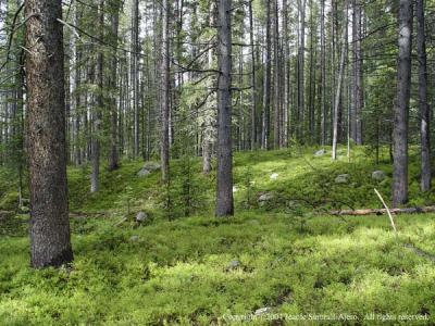 Trees along Colorado River Trail |
 Old stump with small trees growing from it |
 Grand Ditch |
 Box Canyon - looking North |
 Box Canyon - looking South |
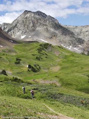
 Thunder Pass Trail |
 Meeting the other half of our group on Thunder Pass Trail |
 Group photo on Thunder Pass Trail |
 Thunder Pass Trail |
 Snowfield near Thunder Pass |
 Looking South from Thunder Pass Trail |
 View from Thunder Pass: Static Peak & Nokhu Crags |
 Static Peak & Nokhu Crags |
 Static Peak |
 Nokhu Crags |
 Looking South towards Thunder Pass |
 Nokhu Crags & Snow Lake |
 Nokhu Crags & Paintbrush |
| previous page | pages 1 2 ALL | next page |
| comment | share |
| Jeff | 30-Nov-2016 19:36 | |
| Gary Aschim | 14-Jan-2007 21:07 | |
| Gary Aschim | 14-Jan-2007 21:06 | |