


|
|
|
|
|
|
| John Tangney | profile | all galleries >> Oregon >> Oregon Redwood Groves, 10-2019 | tree view | thumbnails | slideshow |
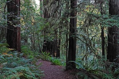
 IMG_6243p.jpg |
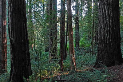
 IMG_6317p.jpg |
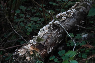
 JCT08417p.jpg |
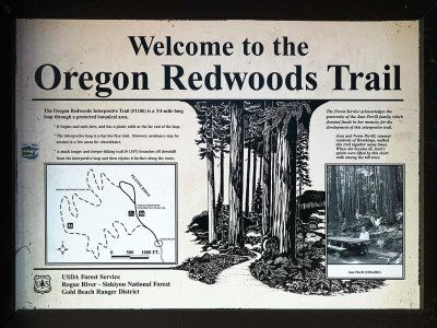
 JCT08418p.jpg |
 IMG_6253p.jpg |
 JCT08420p.jpg |
 JCT08426p.jpg |
 JCT08427p.jpg |
 JCT08429p.jpg |
 JCT08430p.jpg |
 IMG_6268p.jpg |
 JCT08439p.jpg |
 IMG_6271p.jpg |
 JCT08441p.jpg |
 JCT08442p.jpg |
 JCT08443p.jpg |
 JCT08447p.jpg |
 JCT08449p.jpg |
 JCT08451p.jpg |
 JCT08453p.jpg |
 JCT08459p.jpg |
 JCT08462p.jpg |
 JCT08466p.jpg |
 JCT08468p.jpg |
 JCT08470p.jpg |
 IMG_6296p.jpg |
 JCT08475p.jpg |
 JCT08478p.jpg |
 JCT08479p.jpg |
 JCT08483p.jpg |
 JCT08490p.jpg |
 JCT08491p.jpg |
 JCT08492p.jpg |
 JCT08493p.jpg |
 JCT08495p.jpg |
 JCT08500p.jpg |
 JCT08501p.jpg |
 JCT08502p.jpg |
 JCT08504p.jpg |
 JCT08505p.jpg |
 JCT08506p.jpg |
 JCT08508p.jpg |
 JCT08513p.jpg |
 JCT08514p.jpg |
 JCT08516p.jpg |
 IMG_6328p.jpg |
 JCT08517p.jpg |
 JCT08521p.jpg |
 JCT08523p.jpg |
 JCT08524p.jpg |
 JCT08527p.jpg |
 IMG_6342p.jpg |
 IMG_6343p.jpg |
 JCT08532p.jpg |
 JCT08536p.jpg |
 JCT08542p.jpg |
 JCT08543p.jpg |
 IMG_6363p.jpg |
 JCT08547p.jpg |
 IMG_6369p.jpg |
| comment | share |