


|
|
|
|
|
|
| JC Talbert | profile | all galleries >> Galleries >> The Beartooth Highway | tree view | thumbnails | slideshow |
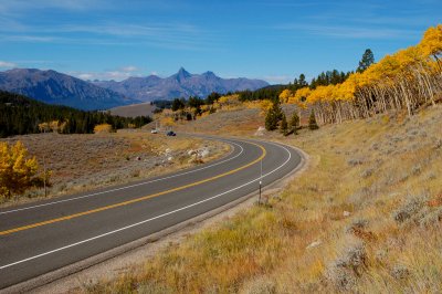 Clark's Fork Valley |
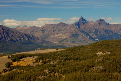 Pilot peak (left) and Index Peak (right) |
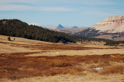 Pilot and Index peaks |
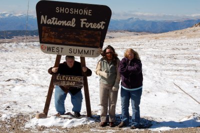 A little windy!! |
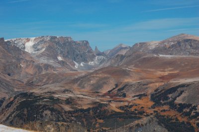 The Bear's Tooth |
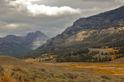 Stormy Skies |
| comment | share |