


|
|
|
|
|
|
| Mike Shore | profile | all galleries >> California >> Yosemite NP >> Yosemite July 2011 >> Upper Yosemite Fall Trail | tree view | thumbnails | slideshow |
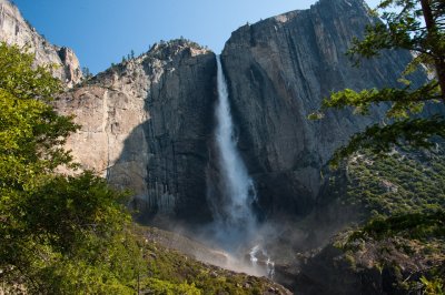
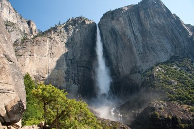
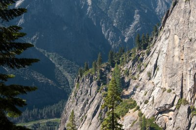
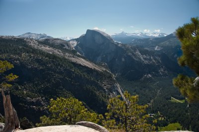
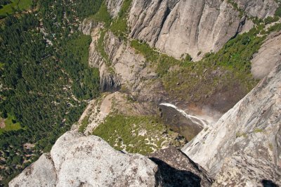
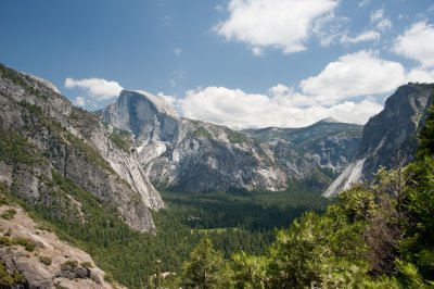
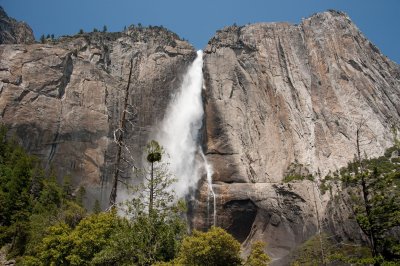
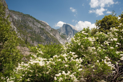
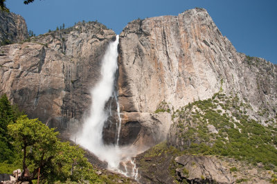
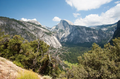
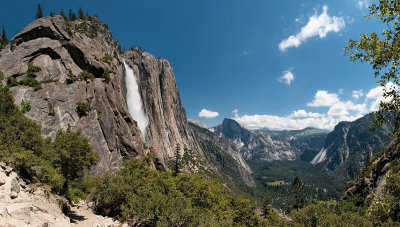 Afternoon View East of Upper Fall and Valley |
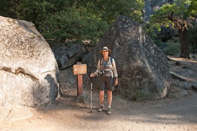
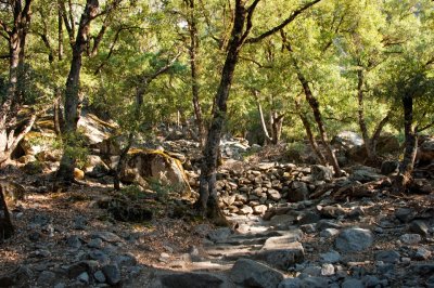
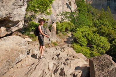
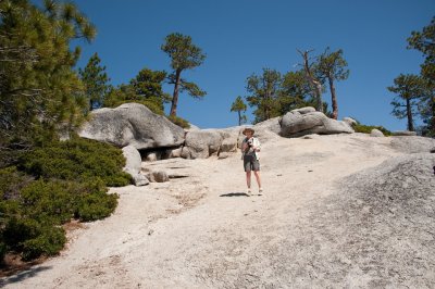
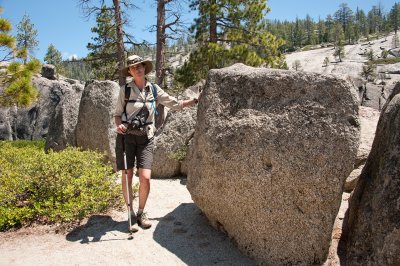
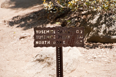
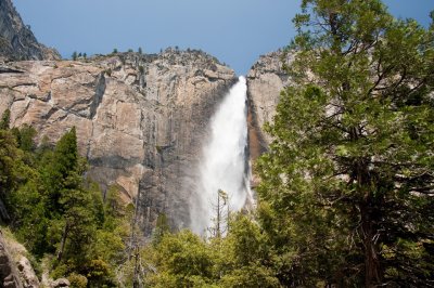
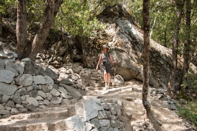
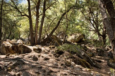
 At The Trailhead |
 |
 |
 |
 |
 |
 Sunrise Views West into the Valley |
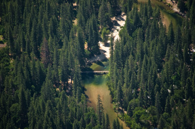
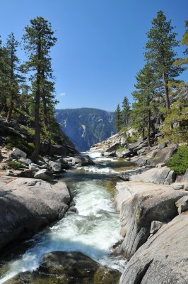
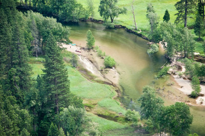
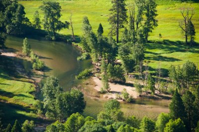 Merced River |
 Sunrise Views West into the Valley |
 |
 |
 |
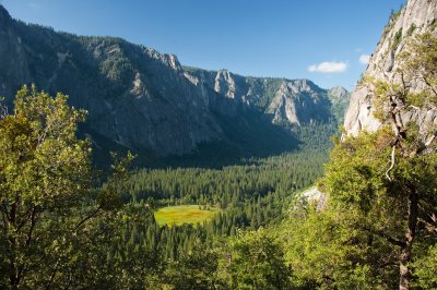
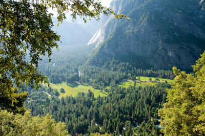
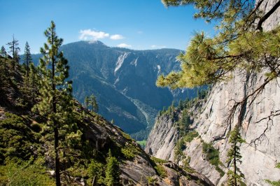
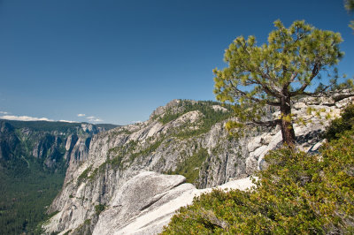
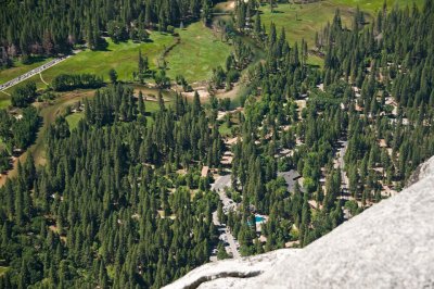
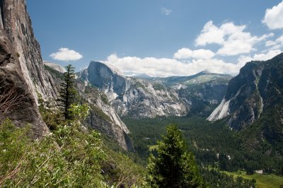
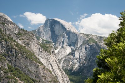
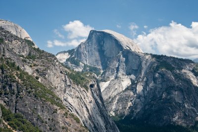
 Valley Views Looking West |
 |
 |
 |
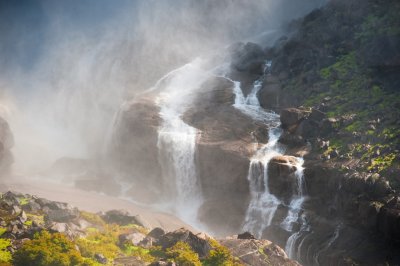
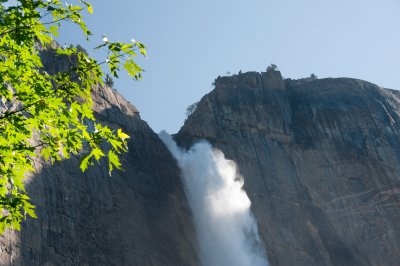
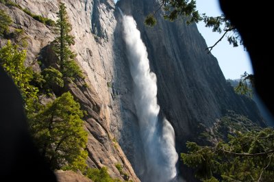
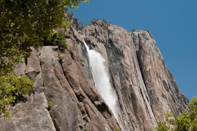
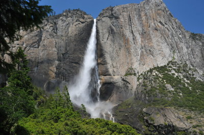
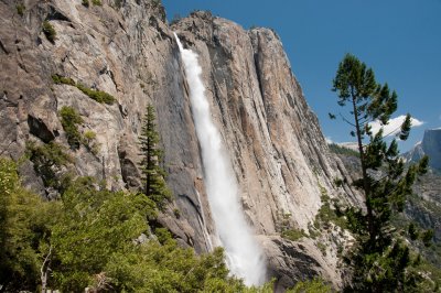
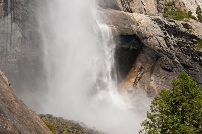
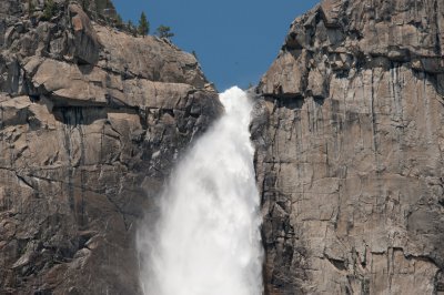
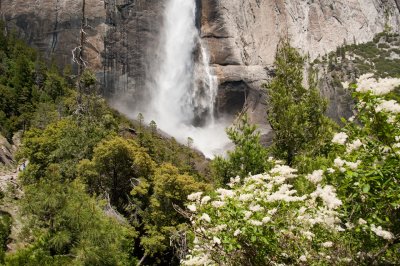
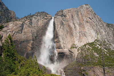
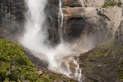
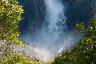 Bottom of Upper Fall |
 |
 |
 |
 |
 |
 |
 |
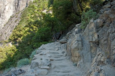
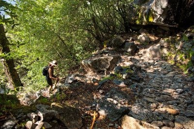
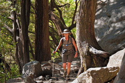
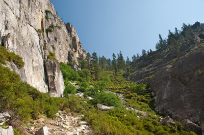
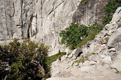
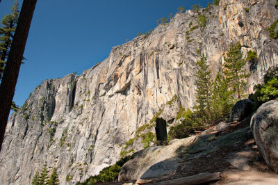
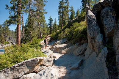
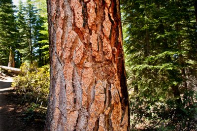
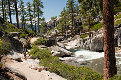
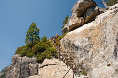
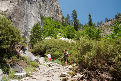
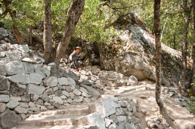
 On The Trail |
 |
 |
 |
 |
 |
 |
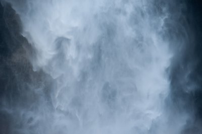
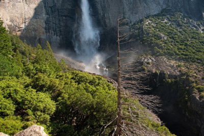
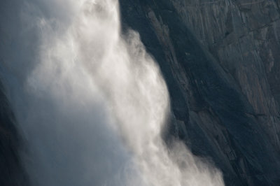
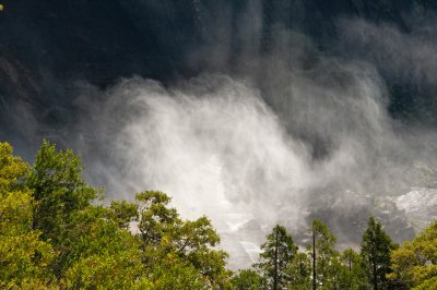
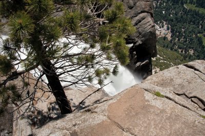
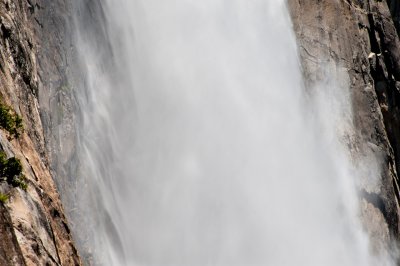
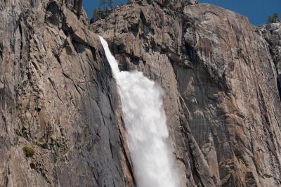
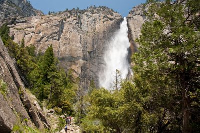
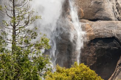
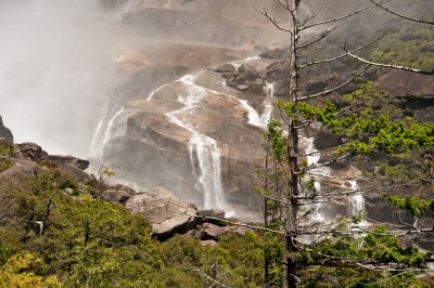
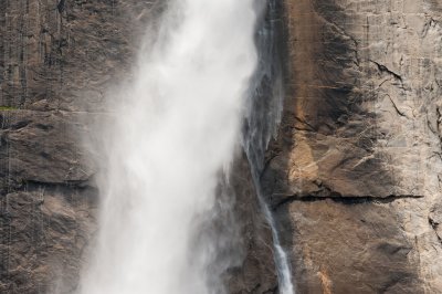
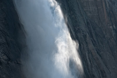 Wispy Water Fall |
 |
 |
 |
 |
 |
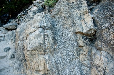
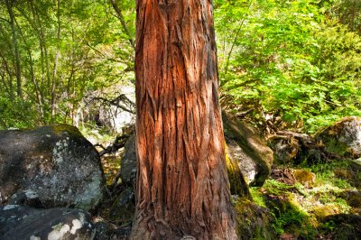
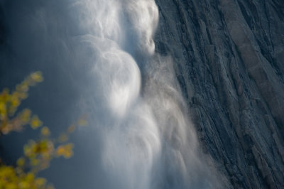
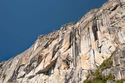
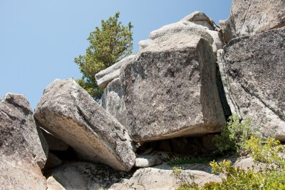
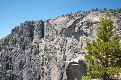
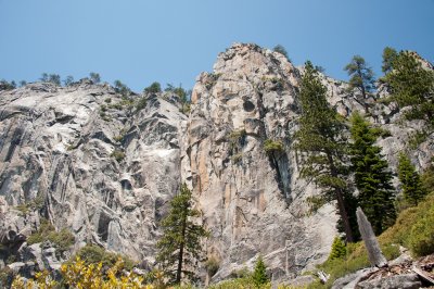
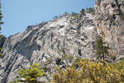
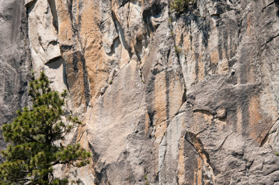
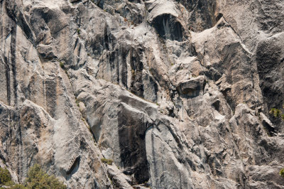
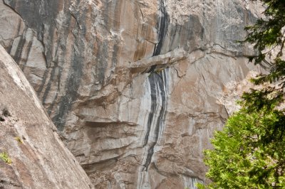
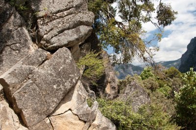
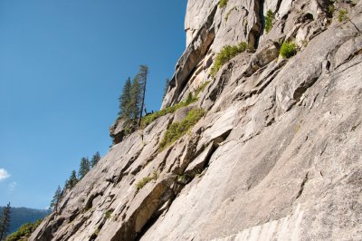 Granite Wall |
 |
 Looking Up Trail |
 |
 |
 |
 Looking Downtrail |
 |
 |
 |
 |
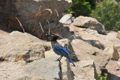
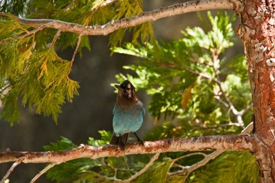
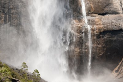
 Here She comes |
 |
 |
 |
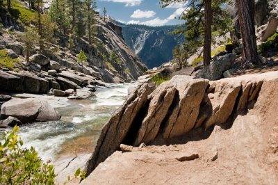
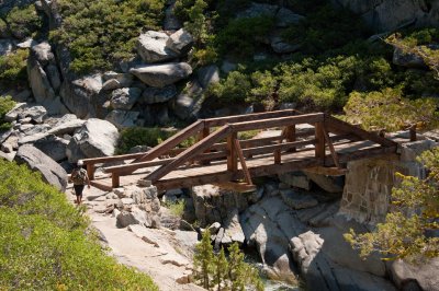 Bridge over Headwaters |
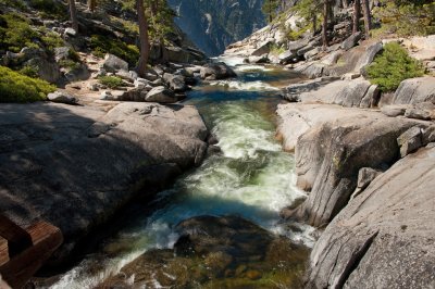
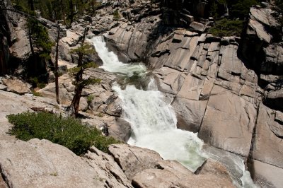
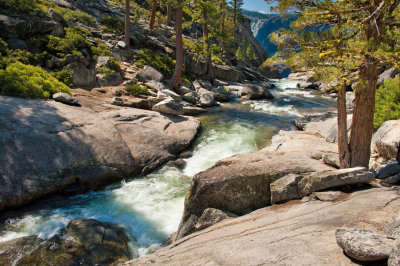 Yosemite Creek |
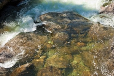 |
 Upper Yosemite Fall Headwater |
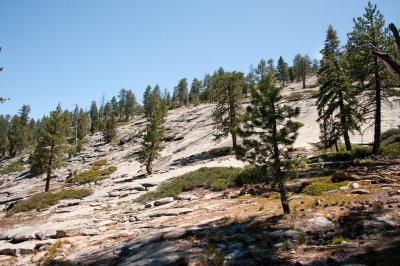
 On the Way up to Yosemite Point |
 |
 |
 |
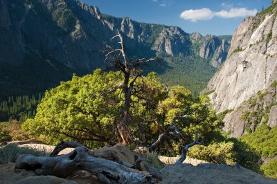
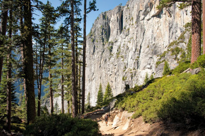
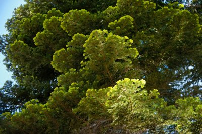
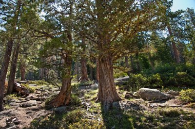
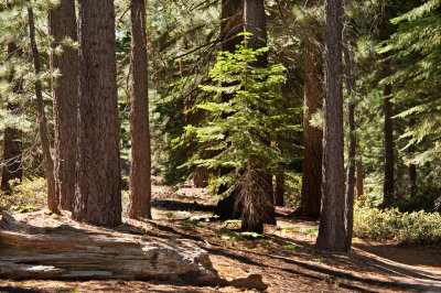
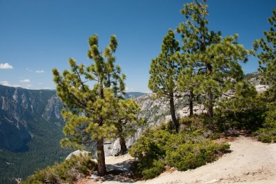
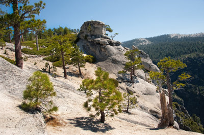
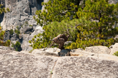
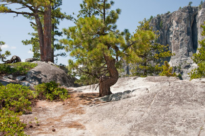
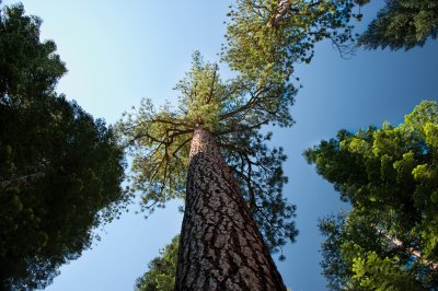 Tall Pines |
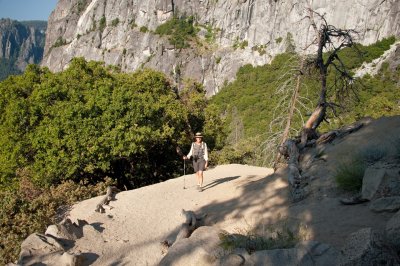
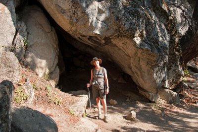
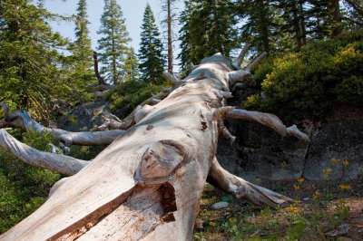
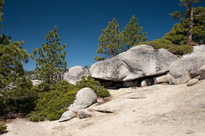
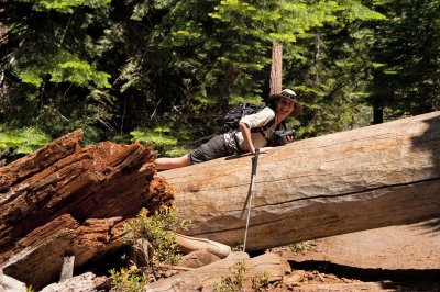
 Scrambling |
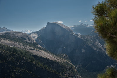
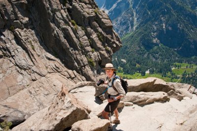
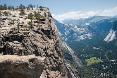
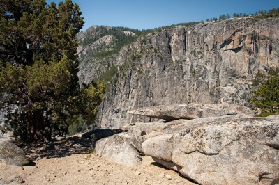 Yosemite Point Views |
 |
 |
 |
 |
 |
 |
 Into the Sun |
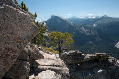
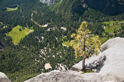
 Valley Views from Yosemite Point |
 |
 |
 |
 |
 |
 |
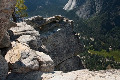
 Yosemite Point |
 |
 |
 |
 |
 |
 Back Down and Over the Bridge |
 |
 |
 |
 |
 |
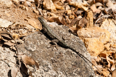
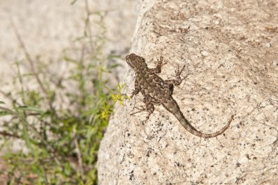
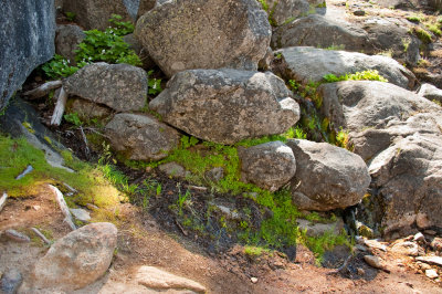
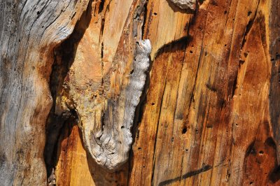
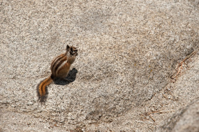
 Local Fungi |
 |
 |
 |
 |
 |
 |
 |
 |
 On the way Down to the Overlook |
 |
 |
 |
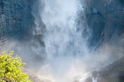
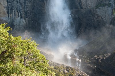
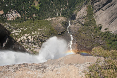
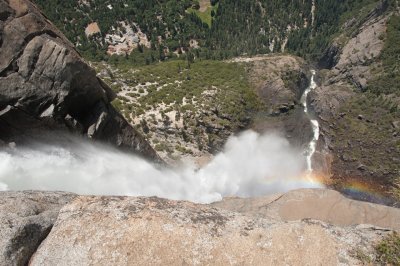
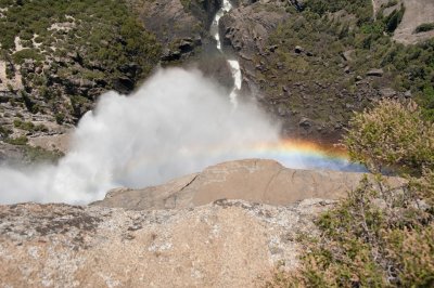
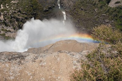
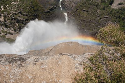
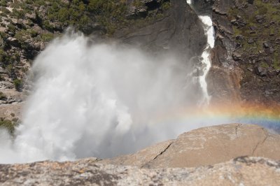
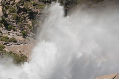
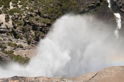
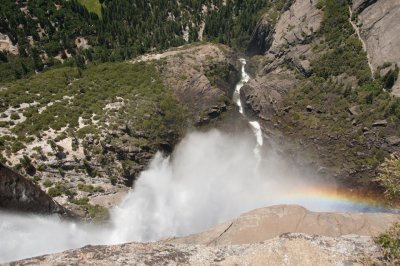
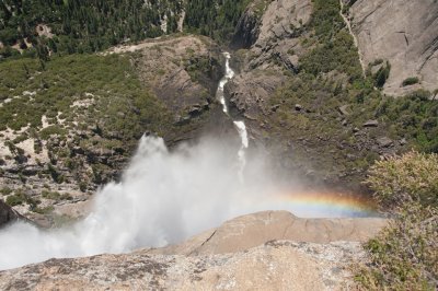
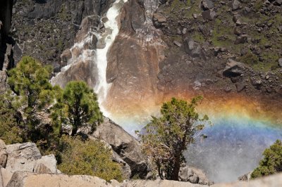
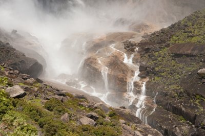
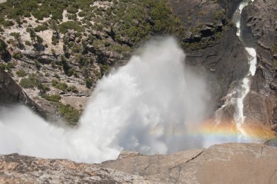 Fall Bows |
 |
 |
 |
 |
 |
 |
 |
 |
 |
 |
 |
 |
 |
 |
 |
 |
 |
 |
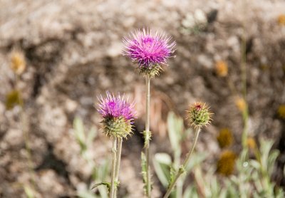
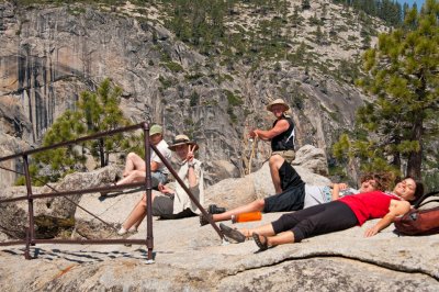
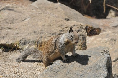
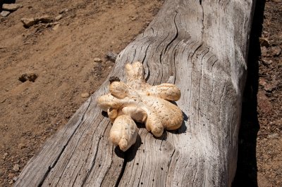
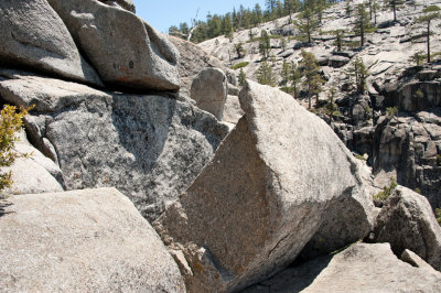
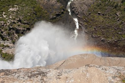
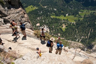
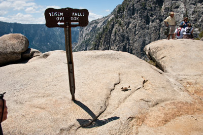
 Take Your Pick |
 |
 |
 |
 |
 |
 |
 |
 |
 |
 |
 |
 |
 |
 |
 |
 |
 |
 |
 |
 |
 |
 |
 |
 |
 |
 |
 |
 |
 |
 |
 |
 |
 |
 |
 |
 |
 |
 |
 |
 |
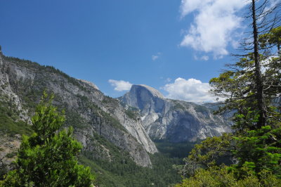
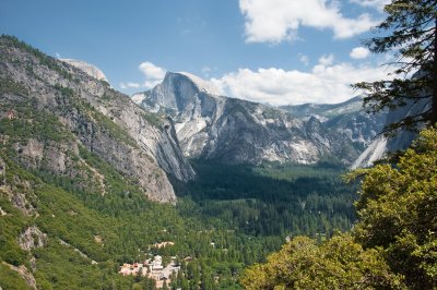
 Valley View East |
 |
 |
 |
 |
 |
 |
 Trails End |
 |
 |
| comment | share |