Mike Shore |
profile
|
all galleries
>>
California
>>
Death Valley
>> Panamint Valley
tree view
| thumbnails |
slideshow
Panamint Valley
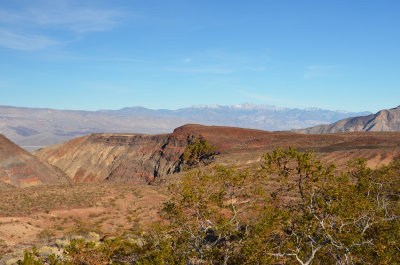
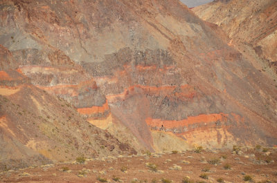
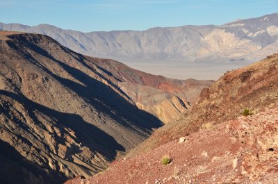
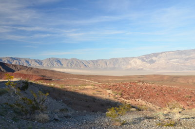
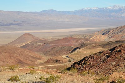
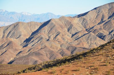
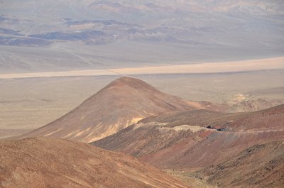
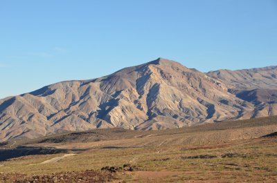
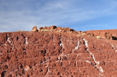
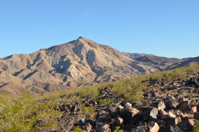
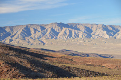
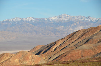
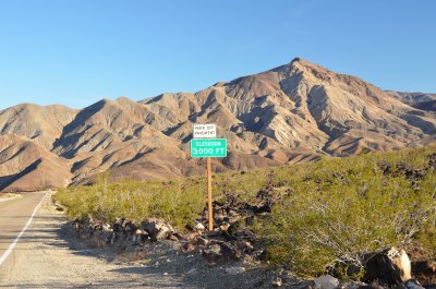
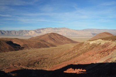
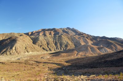
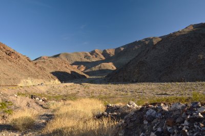
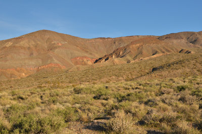
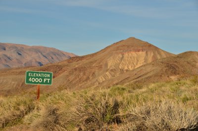
Panamint Valley is a 65-mile long basin located east of the Argus Range and Slate Range, and west of the Panamint Range in the northeastern reach of the Mojave Desert.
_
_
_
_
_
_
_
_
_
_
_
_
_
_
_
_
_
_
_
_
comment
|
share
Type your message and click Add Comment
It is best to
login
or
register
first but you may post as a guest.
Enter an optional name and contact email address.
Name
Name
Email
help
private comment
Type your message and click Add Comment
It is best to
login
or
register
first but you may post as a guest.
Enter an optional name and contact email address.
Name
Name
Email
help
private comment
click on thumbnails for full image