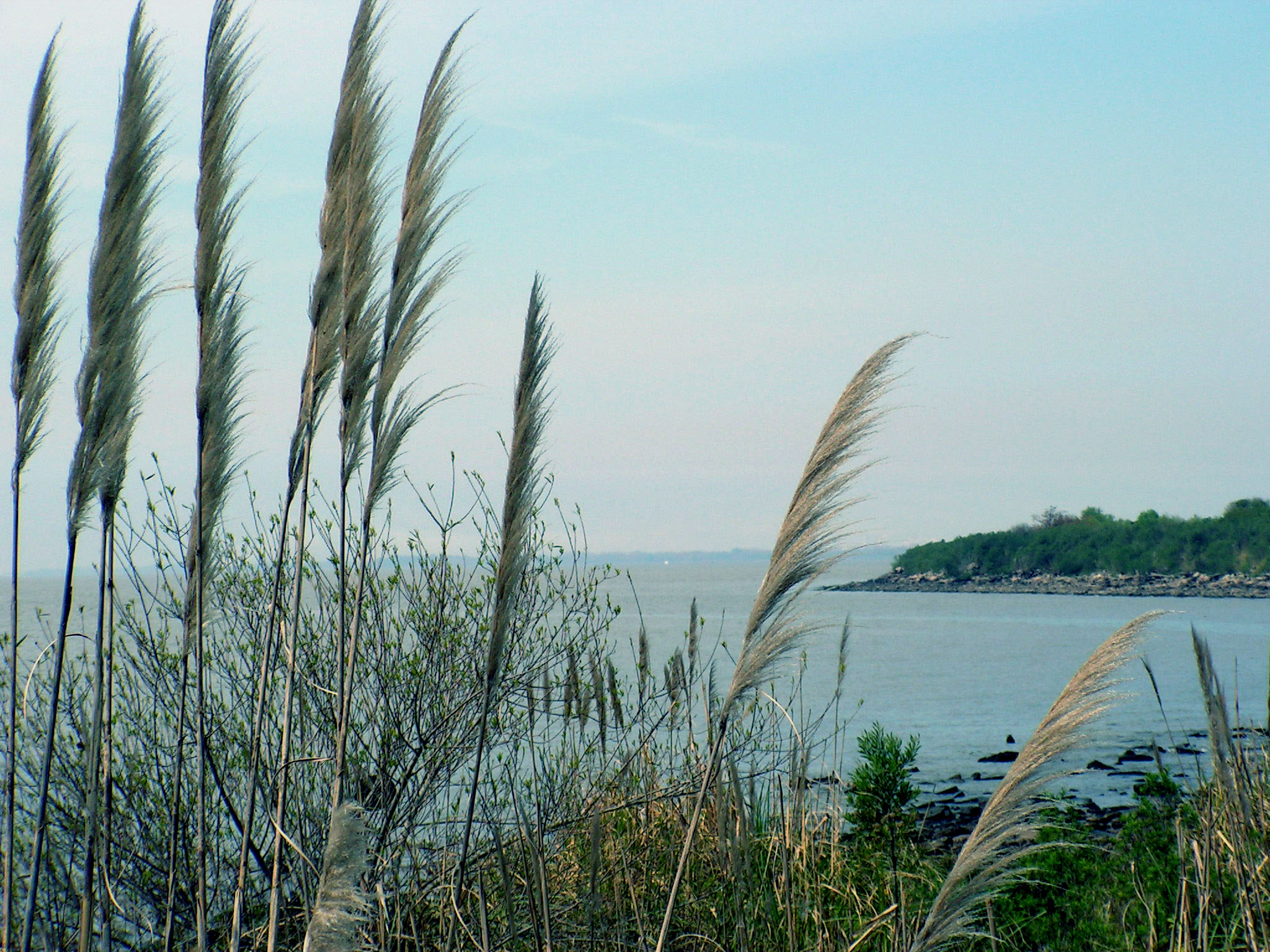
This is a view of the "Rio de la Plata" which is the very large estuary on which Buenos Aires is located. Two large rivers, the Parana and the Uruguay flow to the Atlantic here and the "Rio" is wide enough to be more like a Bay or a Gulf. This picture was taken from an area of man-made land which was intended for development, but when the various deals fell through nature took over and now it is known as La Reserva, and is maintained as a park. We can walk here from our neighborhood and although this view is very picturesque, the 'beach' is rocks and construction debris, no swimming allowed, and the water is often quite muddy from the outflow of those two rivers.