


|
|
|
|
|
|
| |
| 01-APR-2014 | |
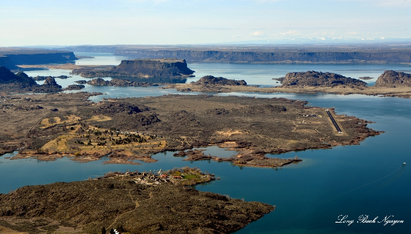
The Missoula Floods (also known as the Spokane Floods or the Bretz Floods) refer to the cataclysmic floods that swept periodically across eastern Washington and down the Columbia River Gorge at the end of the last ice age. The glacial flood events have been researched since the 1920s. These glacial lake outburst floods were the result of periodic sudden ruptures of the ice dam on the Clark Fork River that created Glacial Lake Missoula. After each ice dam rupture, the waters of the lake would rush down the Clark Fork and the Columbia River, flooding much of eastern Washington and the Willamette Valley in western Oregon. After the rupture, the ice would reform, creating Glacial Lake Missoula again.
Copyright @ Long Bach Nguyen and If you want to use or purchase an image please contact at lbnguyen at hotmail
Please login or register.