photo sharing and upload picture albums photo forums search pictures popular photos photography help login
Jeff B. | profile | all galleries >> Northwest Bucket List >> Washington >> Mount St. Helens tree view | thumbnails | slideshow

Mount St. Helens

Skamania County, WA

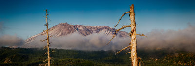
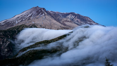
Mount St. Helens (known as Lawetlat'la to the indigenous Cowlitz people, and Loowit or Louwala-Clough to the Klickitat) is an active stratovolcano located in Skamania County, Washington, in the Pacific Northwest region of the United States. It is 50 miles northeast of Portland, Oregon and 96 miles south of Seattle, Washington. Mount St. Helens takes its English name from the British diplomat Lord St Helens, a friend of explorer George Vancouver who made a survey of the area in the late 18th century. The volcano is located in the Cascade Range and is part of the Cascade Volcanic Arc, a segment of the Pacific Ring of Fire that includes over 160 active volcanoes. This volcano is well known for its ash explosions and pyroclastic flows.

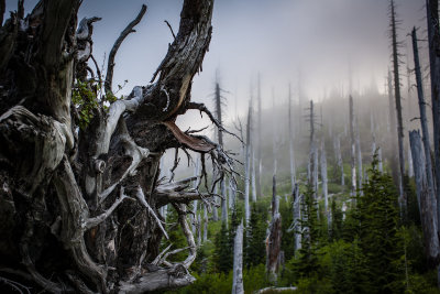
Mount St. Helens is most notorious for its major eruption on May 18, 1980, the deadliest and most economically destructive volcanic event in U.S. history. Fifty-seven people were killed; 250 homes, 47 bridges, 15 miles of railways, and 185 miles of highway were destroyed. A massive debris avalanche, triggered by an earthquake of magnitude 5.1, caused a lateral eruption that reduced the elevation of the mountain's summit from 9,677 ft to 8,363 ft, leaving a 1 mile wide horseshoe-shaped crater. The debris avalanche was up to 0.7 cubic miles in volume. The Mount St. Helens National Volcanic Monument was created to preserve the volcano and allow for the eruption's aftermath to be scientifically studied.
Mount St. Helens
Mount St. Helens
Mount St. Helens
Mount St. Helens
Mount St. Helens
Mount St. Helens
Mount St. Helens
Mount St. Helens
Mount St. Helens
Mount St. Helens
Mount St. Helens
Mount St. Helens
Mount St. Helens
Mount St. Helens
Mount St. Helens
Mount St. Helens
Mount St. Helens
Mount St. Helens