


|
|
|
|
|
|
| Jeff B. | profile | all galleries >> Northwest Bucket List >> Oregon >> Bridges >> Astoria-Megler Bridge | tree view | thumbnails | slideshow |
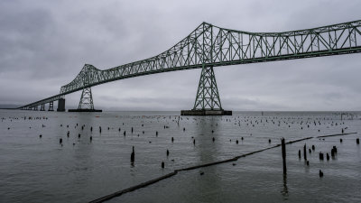 Astoria-Megler Bridge |
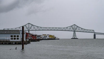
 Astoria-Megler Bridge |
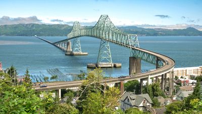
 Astoria-Megler Bridge |
 Astoria-Megler Bridge |
 Astoria-Megler Bridge |
 Astoria-Megler Bridge |
 Astoria-Megler Bridge |
 Astoria-Megler Bridge |
 Astoria-Megler Bridge |
| comment |