


|
|
|
|
|
|
| Jeff B. | profile | all galleries >> Northwest Bucket List >> Oregon >> Miscellaneous >> Abert Rim | tree view | thumbnails | slideshow |
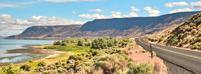
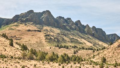
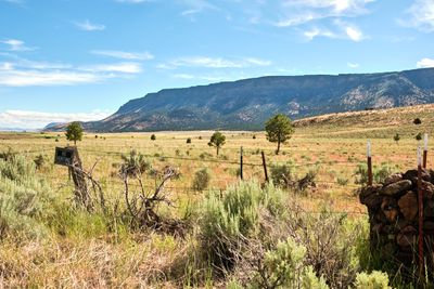 Abert Rim |
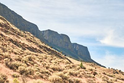
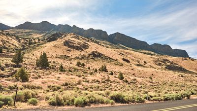
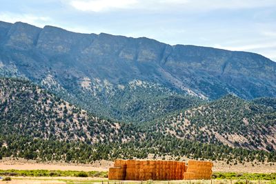 Abert Rim |
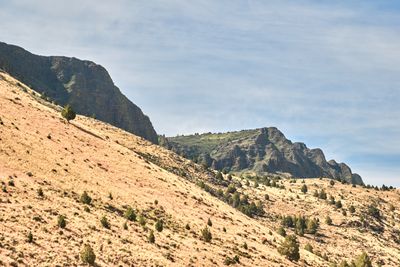
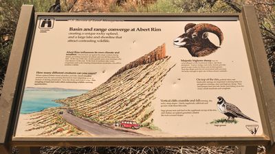
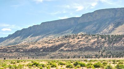 Abert Rim |
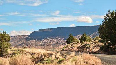
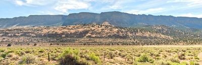 Abert Rim |
 Abert Rim |
 Abert Rim |
 Abert Rim |
 Abert Rim |
 Abert Rim |
 Abert Rim |
 Abert Rim |
 Abert Rim |
| comment |