


|
|
|
|
|
|
| Greg Lief | profile | all galleries >> Central Oregon >> Mount Jefferson Wilderness >> Pamelia Creek | tree view | thumbnails | slideshow |
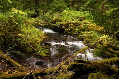
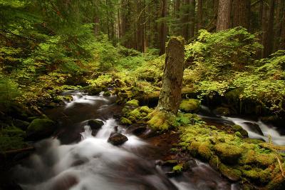
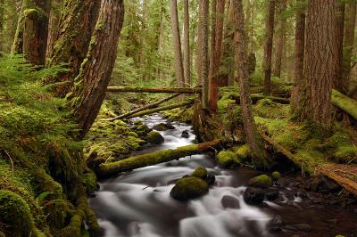
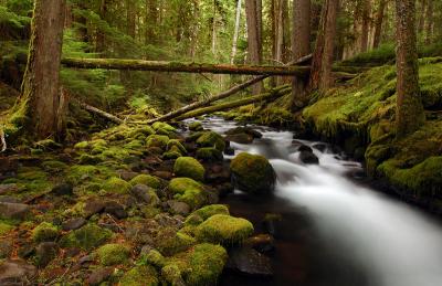
In November 2006, a large portion of Mount Jefferson's Milk Creek Glacier broke free, which in turn caused Pamelia Creek to carve itself a new channel. The Forest Service has done an admirable job of rebuilding the trail to keep it near the new creek location.
When I revisited in August 2007, I was saddened to see that my vantage points from two years ago had either been obliterated or were now perched along an empty creek bed. But as you can see from the newer photos, the creek is still beautiful, albeit (currently) in a more rugged and rocky fashion.
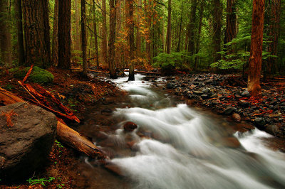
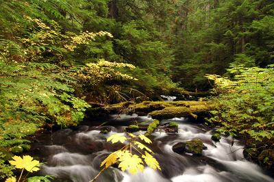 Pamelia Creek, autumn 1 |
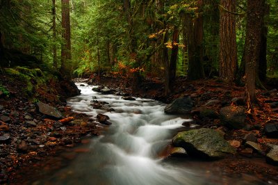
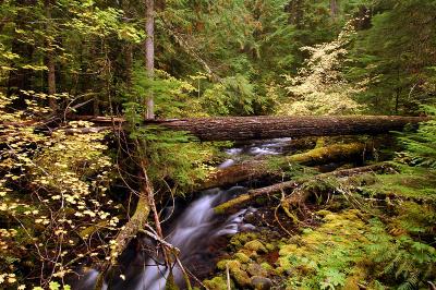 Pamelia Creek, fall study 2 |
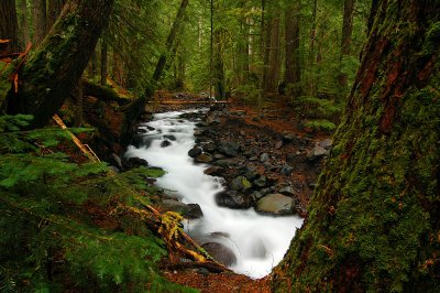
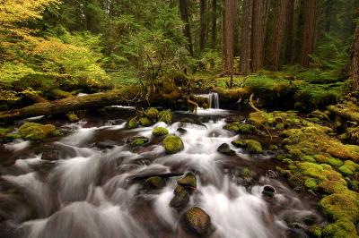 Pamelia Creek, fall study 3 |
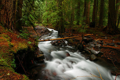
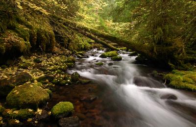 Pamelia Creek, fall study 4 |
 Pamelia Creek, fall study 5 |
 Pamelia Creek, fall study 6 |
 Pamelia Creek, fall study 7 |
 Pamelia Creek, fall study 8 |
 Pamelia Creek, 2007 study 1 |
 Pamelia Creek, 2007 study 2 |
 Pamelia Creek, 2007 study 3 |
 Pamelia Creek, 2007 study 4 |
| comment | share |
| Evelyn | 21-Oct-2005 16:46 | |