


|
|
|
|
|
|
| Grace Messina | profile | all galleries >> Deletes >> Big Bend National Park, Texas | tree view | thumbnails | slideshow |
| previous page | pages 1 2 3 4 5 ALL | next page |
 Chisos Basin |
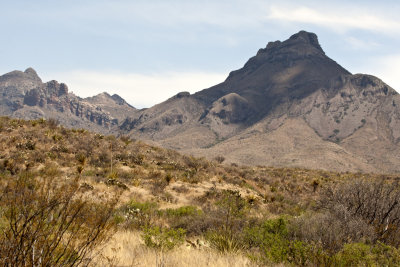 Chisos Basin |
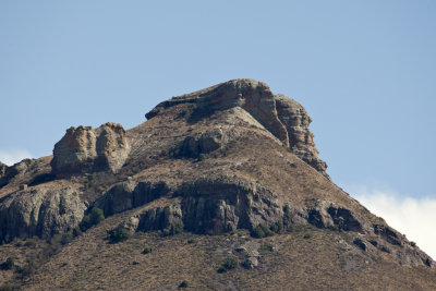 Chisos Basin |
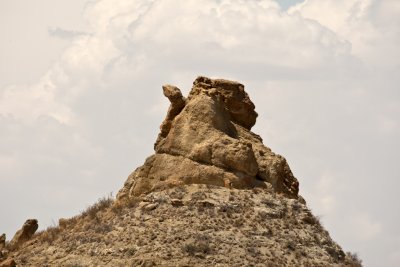
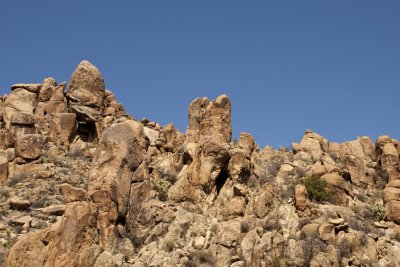
 Looks like Easter Island to me |
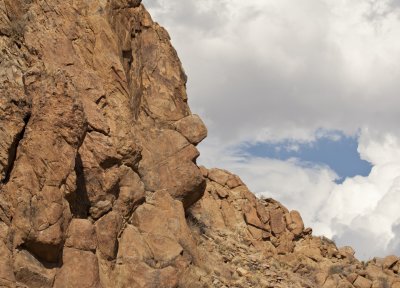
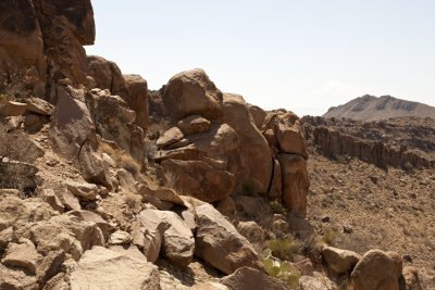
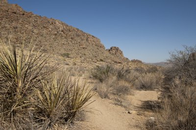 Grapevine Hills Trail |
 Grapevine Hills Trail |
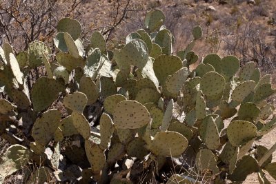 Prickly Pear Cactus |
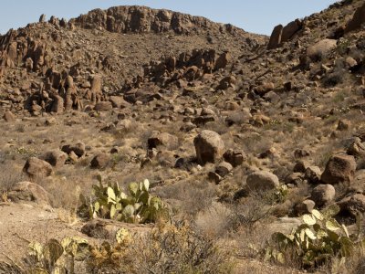
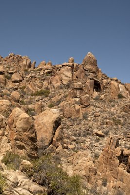
 Grapvine Hills Trail |
 Grapevine Hills Trail |
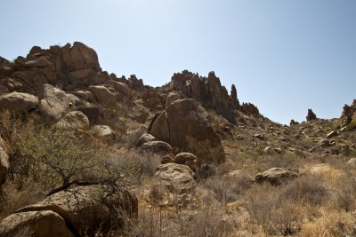
 Grapevine Hills Trail |
 Grapevine Hills Trail |
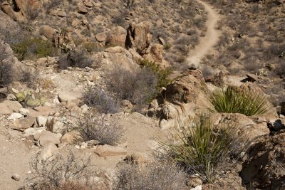 Grapevine Hills Trail |
| previous page | pages 1 2 3 4 5 ALL | next page |
| comment | share |