3/5/2005
Four Pk 050305 02.jpg
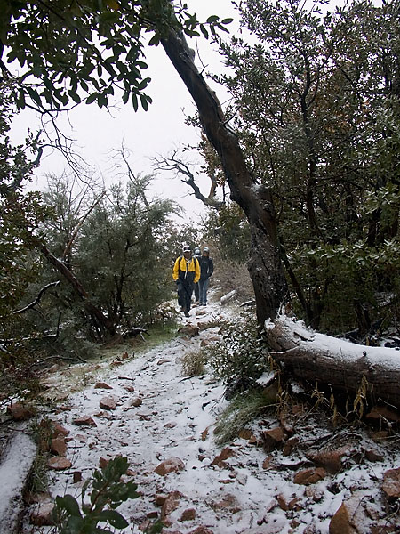
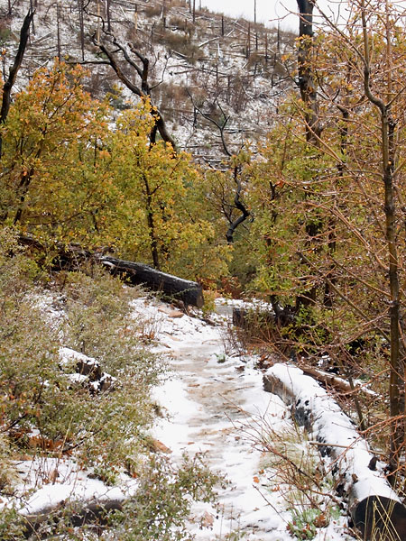
Yes, that is snow on the ground. Sridhar leads the pack heading south on Brown's trail.
3/5/2005
Four Pk 050305 03.jpg
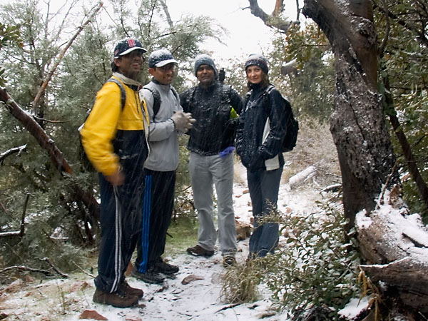
The snow was not only on the ground, but also on us. About another quarter mile (or so) after this we turned around and headed back to the trailhead. Since the start, the overcast sky provided rain, sleet, and finally snow. By the time we turned around there was about a half inch on the ground and it was getting difficult to see the trail.
3/5/2005
Four Pk 050305 04.jpg
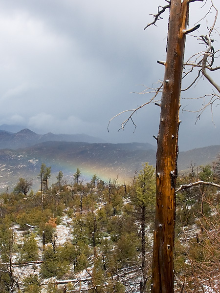
While heading back to the trailhead, the sun did break through the clouds for a short time. We were lucky enough to see a rainbow over the valley below us. There was a lot of evidence of a past fire in the area.
3/5/2005
Four Pk 050305 05.jpg
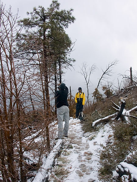
Sankara stops to photograph the rainbow. Notice the completely overcast gray sky behind Sridhar. The sun didn't stay out long. This view is looking more or less north along the trail.
3/5/2005
Four Pk 050305 06.jpg
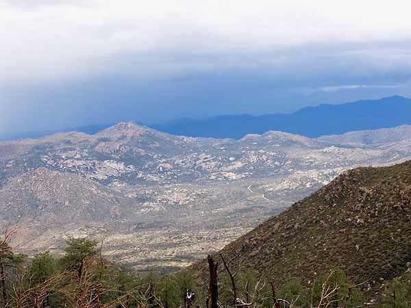
A view to the west. While the sun was out we did get some nice views of Brushy Basin and the hills to the west.
3/5/2005
Four Pk 050305 07.jpg
The period of direct sunlight is ending. Looking to the south we can see more evidence of past fire(s).
3/5/2005
Four Pk 050305 08.jpg
Sankara lamenting the loss of sunlight?
3/5/2005
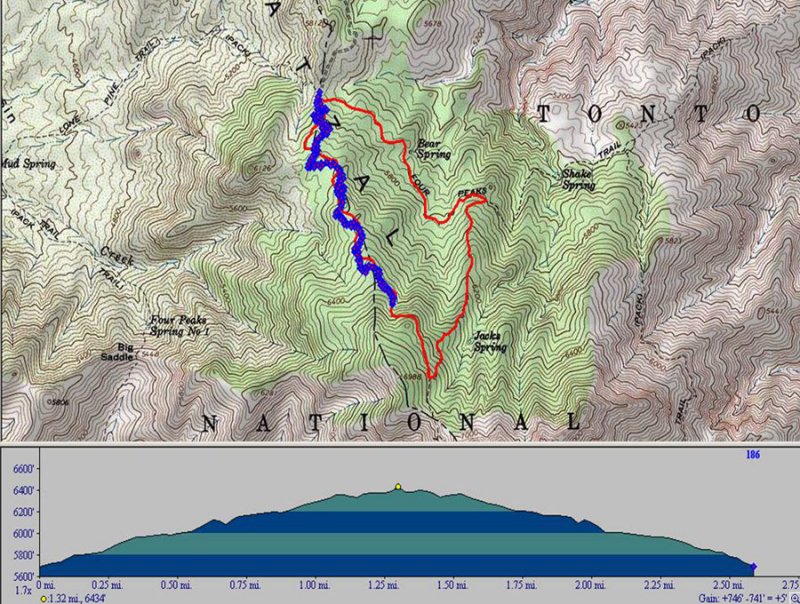
Map and Profile.jpg
The path of our hike - we didn't get very far. The red line indicates our planned hike, counter-clockwise from the top. The blue line shows our actual path. The first leg (north to south) is on Brown's trail. My maping software did not show the trail, so the red line was a guess. The second leg (south to north) would have been on the Amethyst trail, and the last leg would have been on Four Peaks trail