


|
|
|
|
|
|
| George Kolb | profile | all galleries >> Galleries >> Mt. Lemmon in Southeast Arizona | tree view | thumbnails | slideshow |
 Beginning of the Catalina Highway |
 Recent Rock Slide |
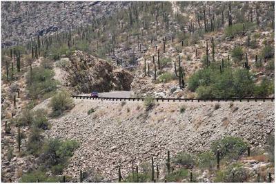
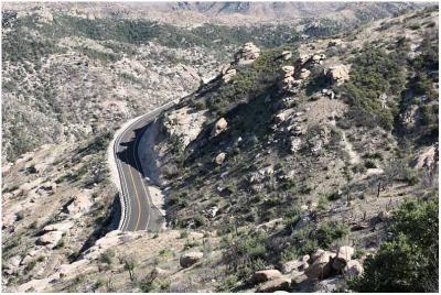
 Around 5000 ft Elevation |
 Ski Valley Ski Lifts |
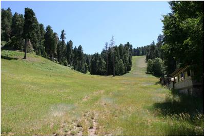 Grassy Meadow |
 Fire Damage at the Summit |
 Lone Ponderosa |
 Auto Road |
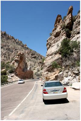
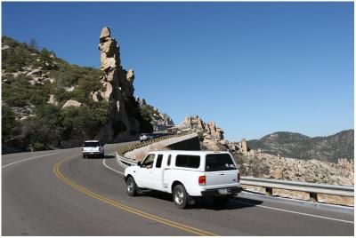
 Twisting and Turning |
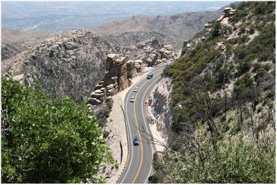
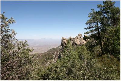 8000 ft. High |
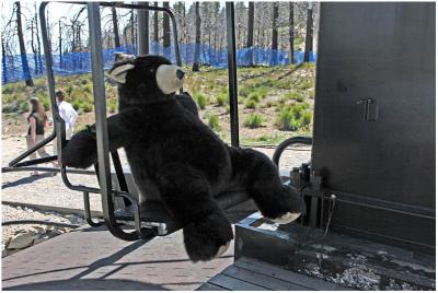 There's Bears on Mt. Lemmon |
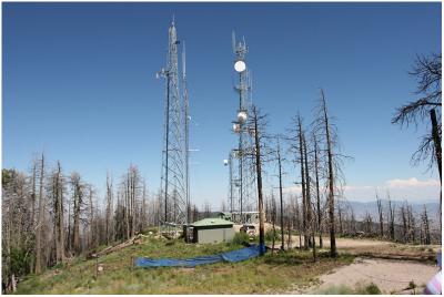 TV Towers near Summit |
| comment | share |
| pbatecsona | 30-Oct-2012 11:08 | |