


|
|
|
|
|
|
| George Kolb | profile | all galleries >> Galleries >> ATV Trip to the Barry Goldwater Air Force Range in Arizona | tree view | thumbnails | slideshow |
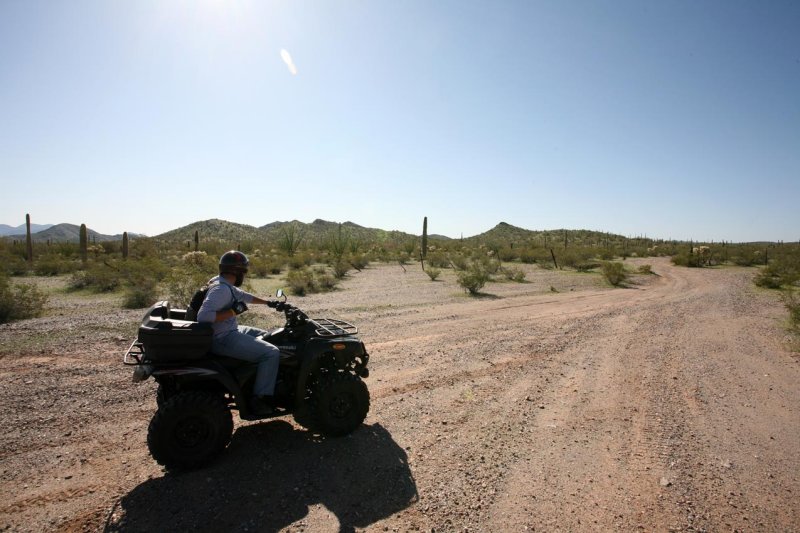
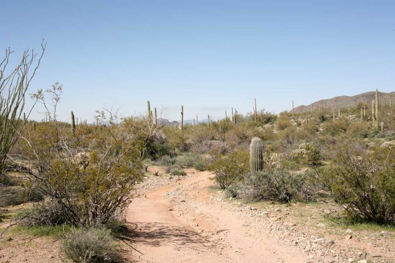
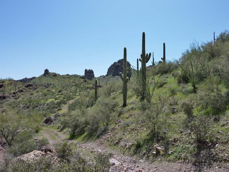
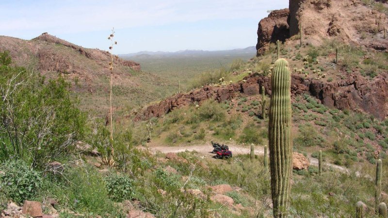
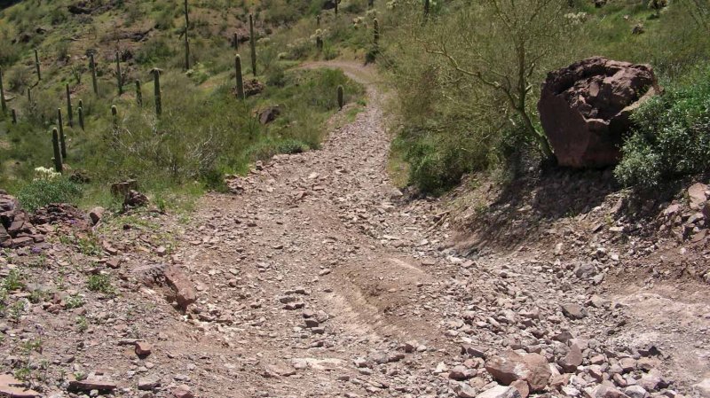
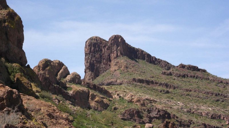
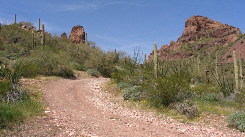
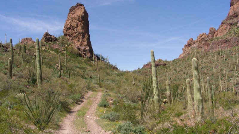
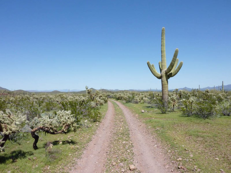
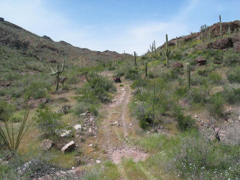
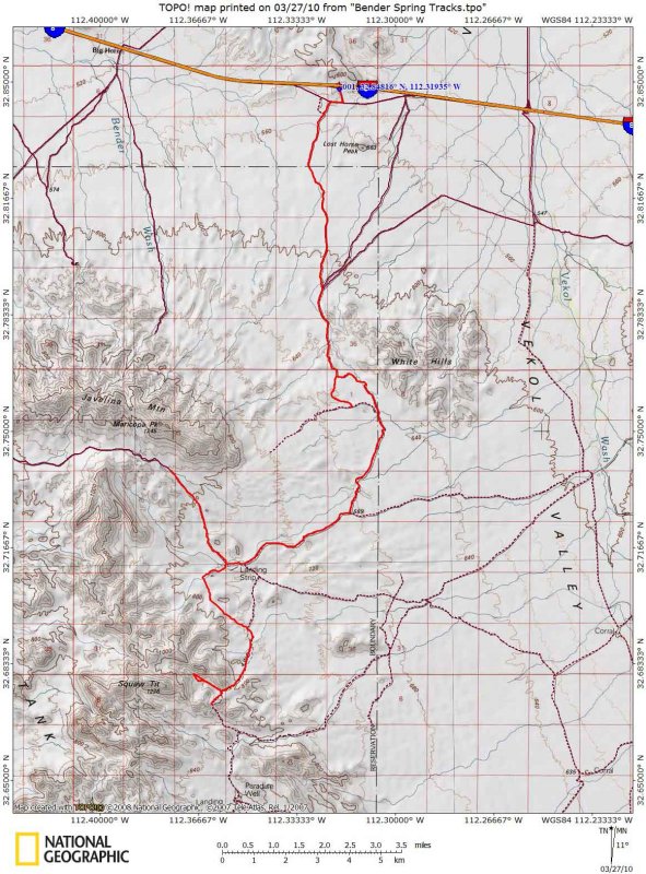 Freeman Road to Bender Spring Route |
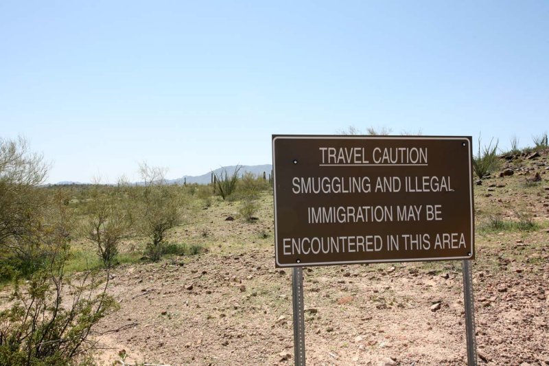
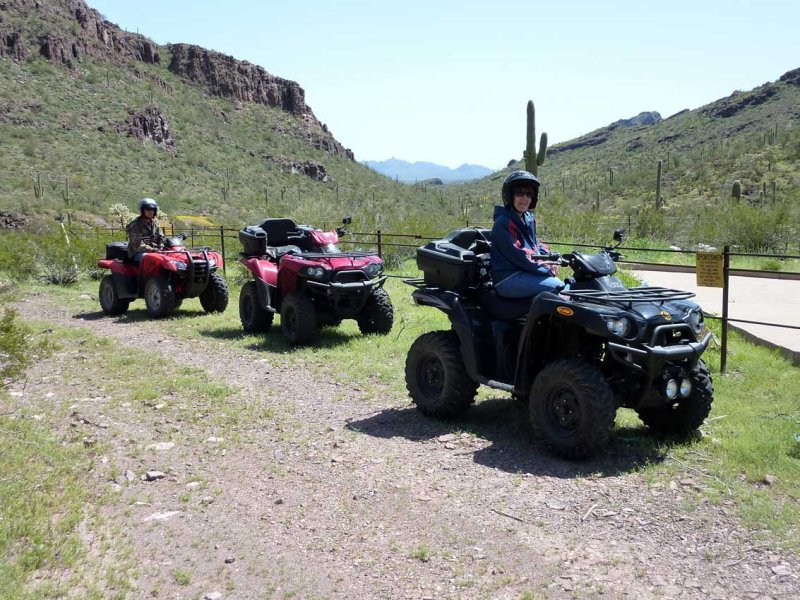
 Entering Area A |
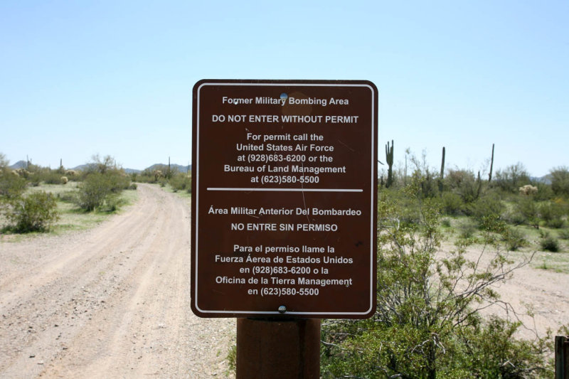 BLM Sign Stating Permit Requirements |
 |
 |
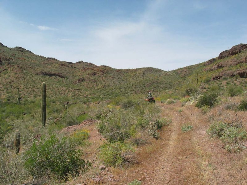
 ATV Trip 1 to Scout Out the Area |
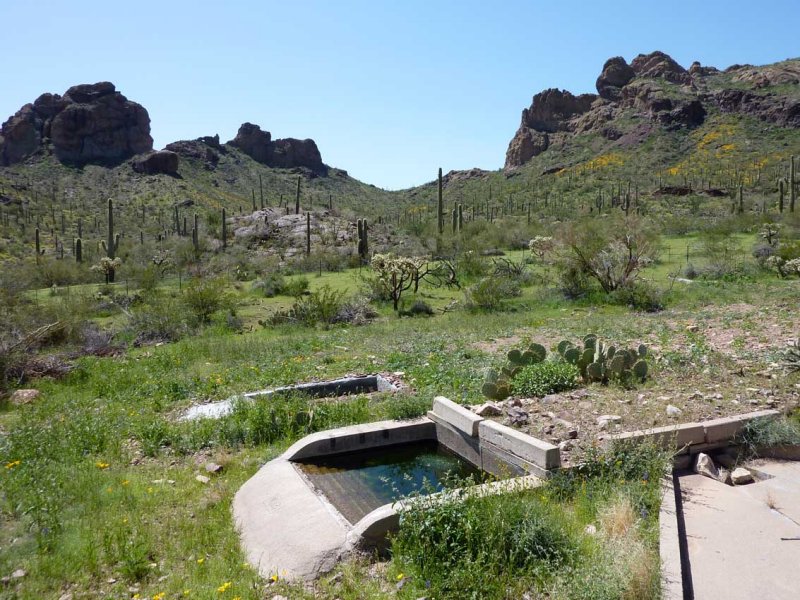
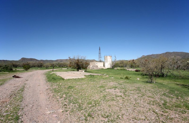 Johnson's Well |
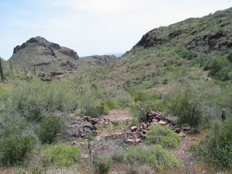
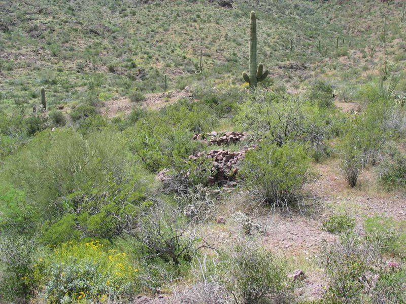
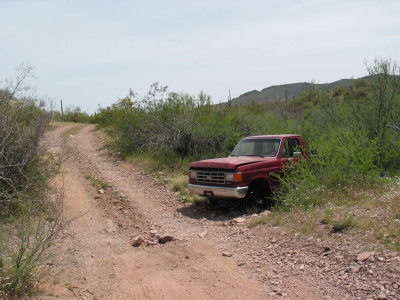
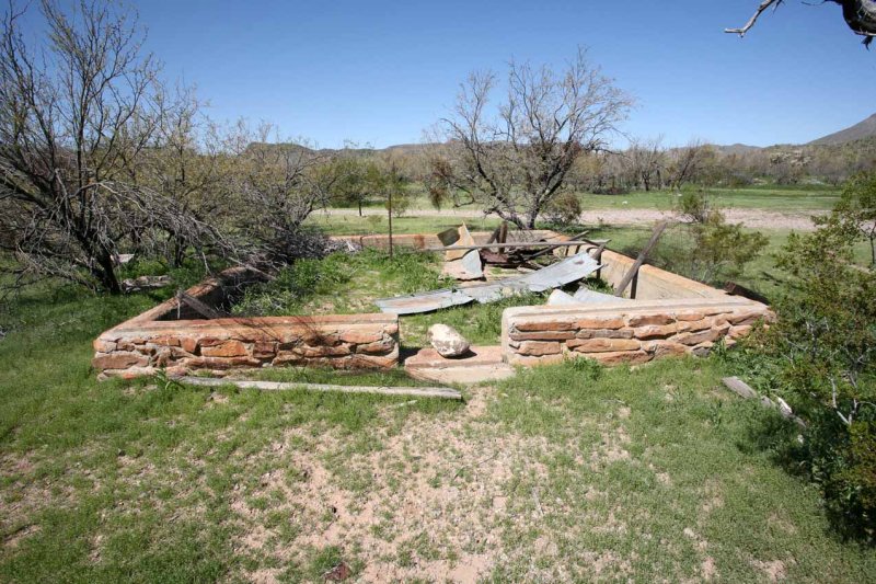 Old House Foundation |
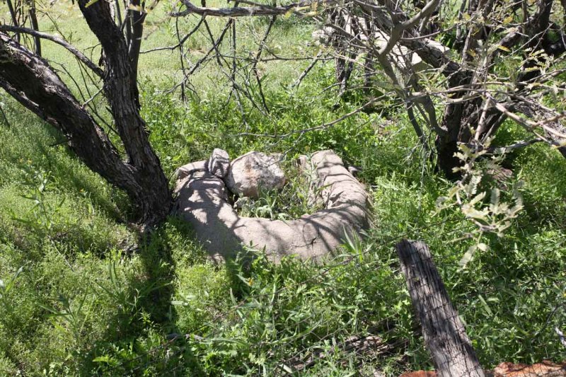 Curious U-Shaped Concrete Thing |
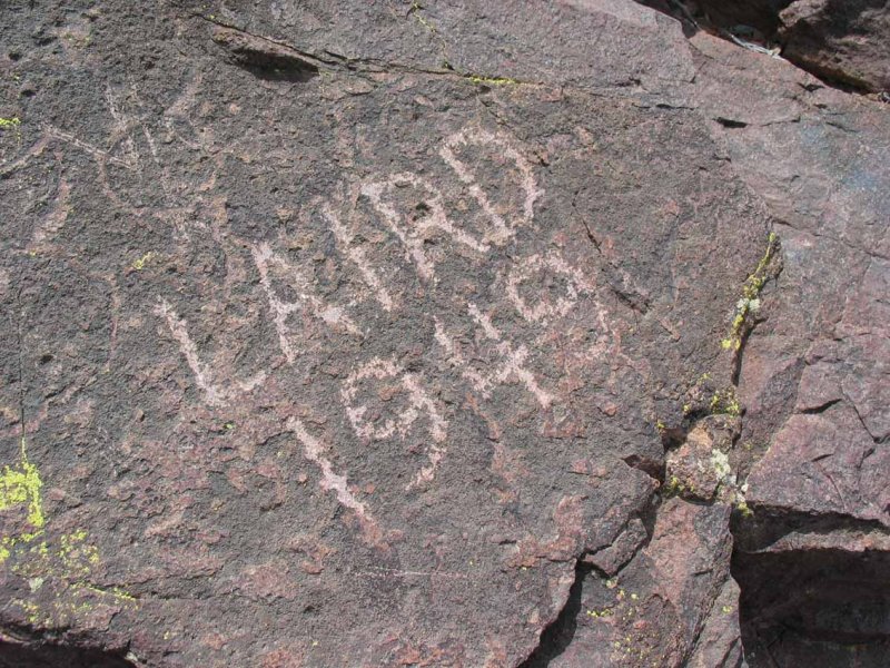
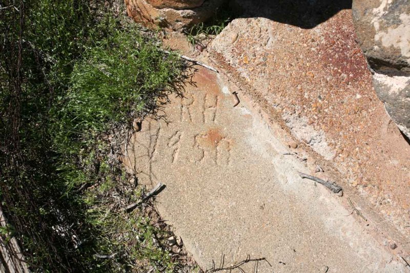 1950 Etched in Door Step |
 |
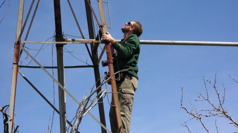 Tom Climbing the Well |
 Heading Toward Papago Indian Chief Mine |
 Bombing Ahead Stopped our Forward Progress |
 Smoke Drifting Across Route about 3 Miles Ahead |
 |
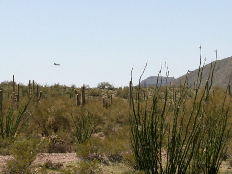 CH47D's on Training Mission |
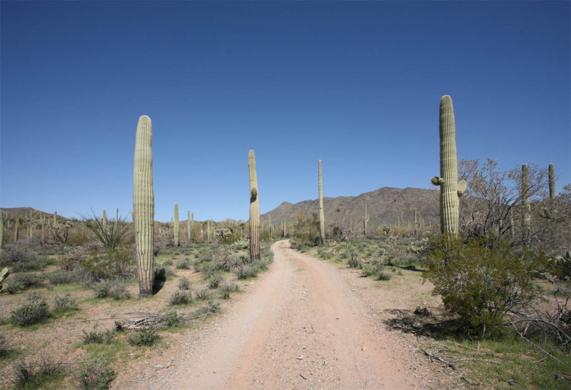
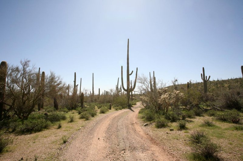
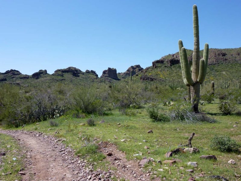
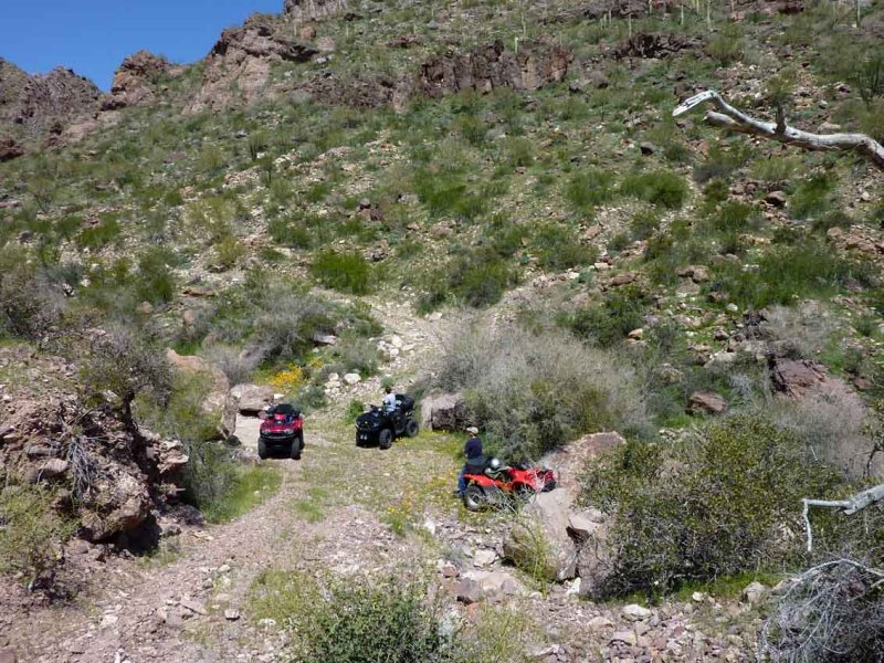
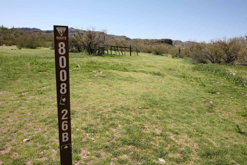 Beginning of Route 8026B |
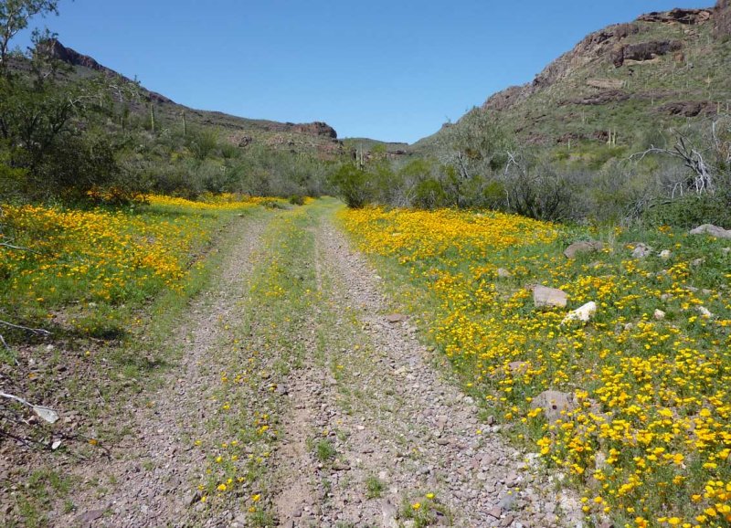
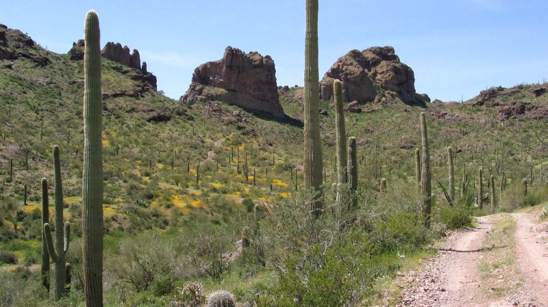
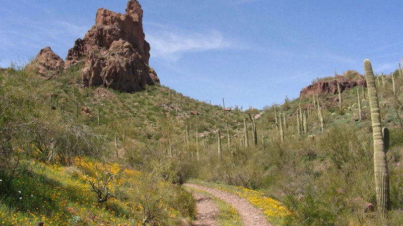
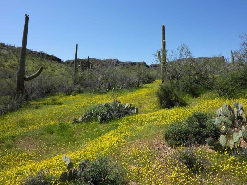
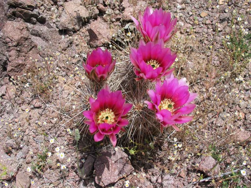
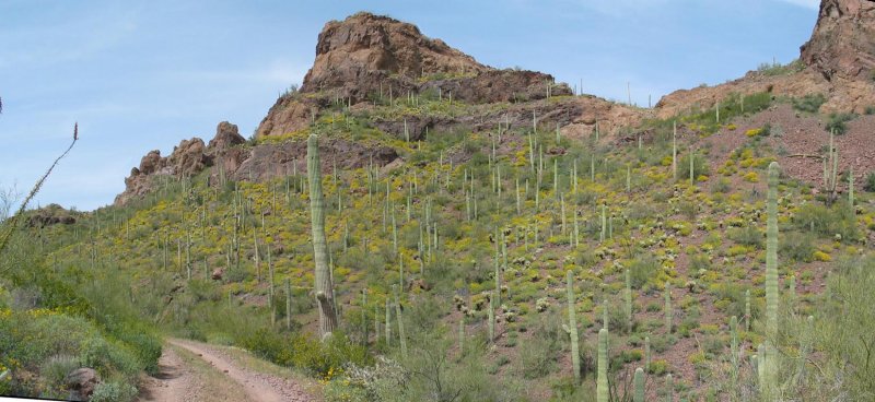
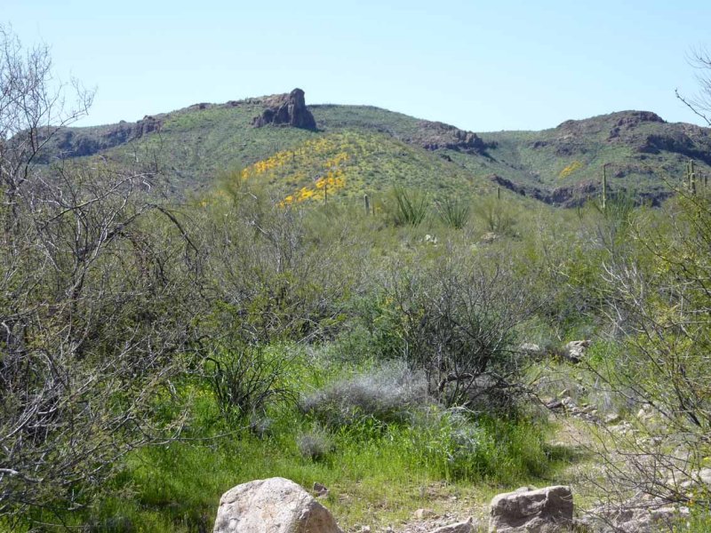 Yellow Poppies on Mountainsides |
 |
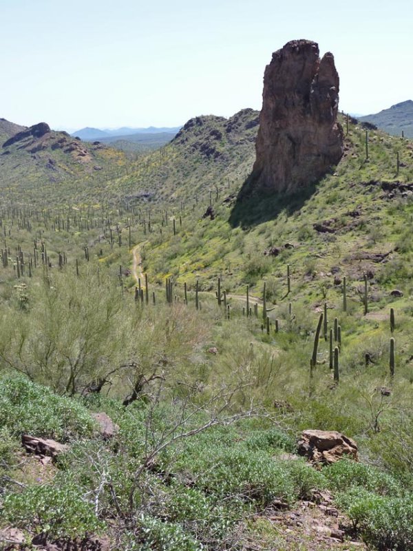
 Bender Spring Area Coming up on the Right |
 |
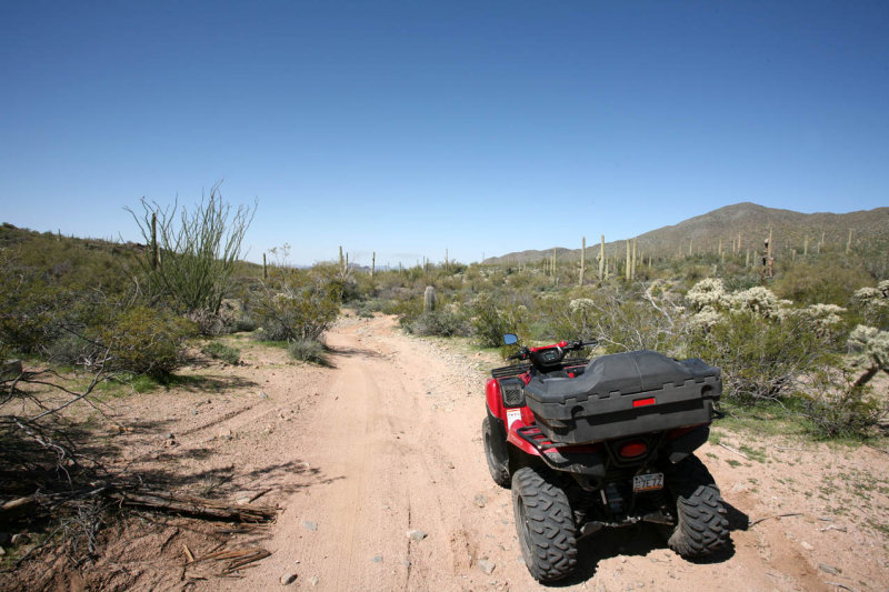
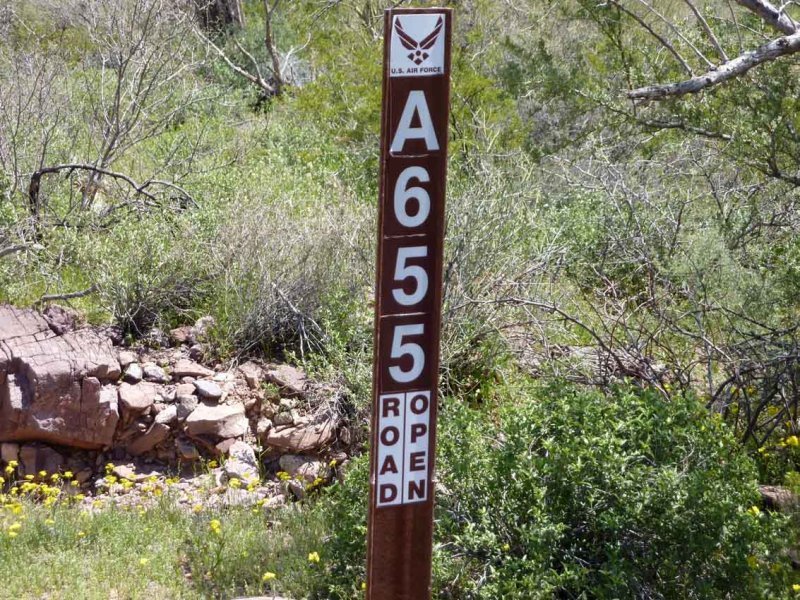 Air Force Road 655 |
 |
 |
 |
 |
 Wildlife Catchment Well - Guzzler |
 Jay and Paula Taking a Rest |
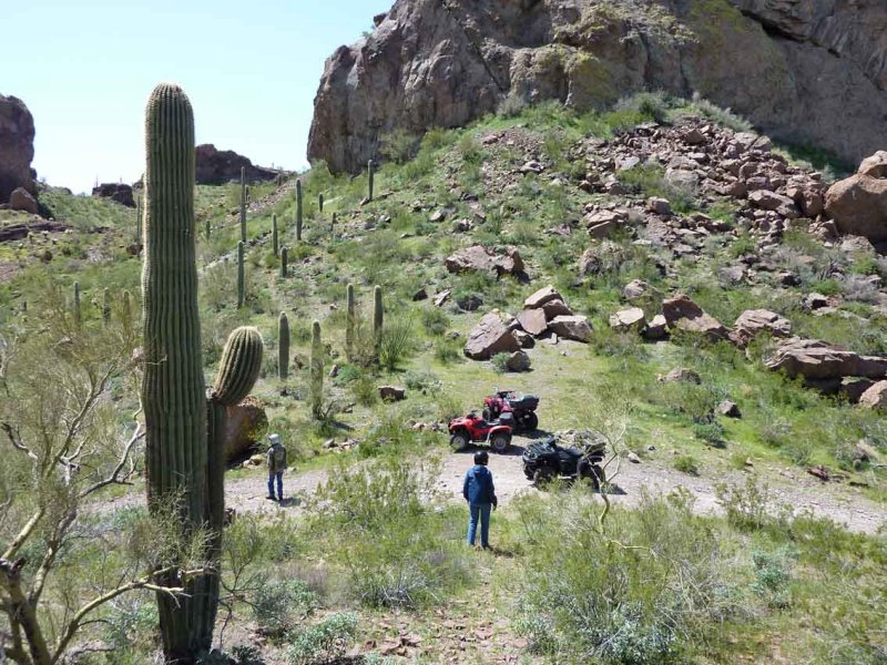
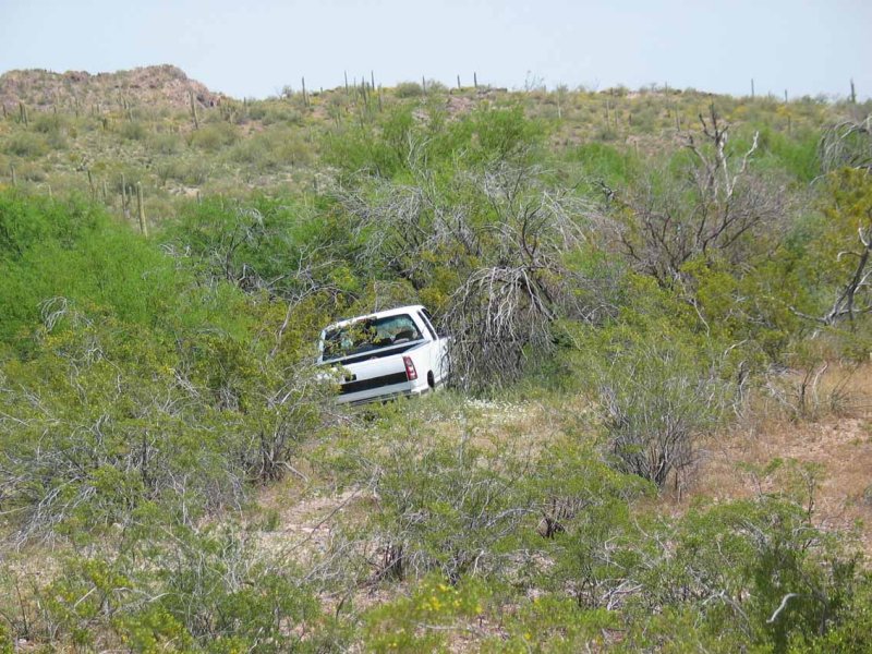
 End of the Line for Today |
 |
 South of the Bender Spring Pass |
 Top of the Pass |
 |
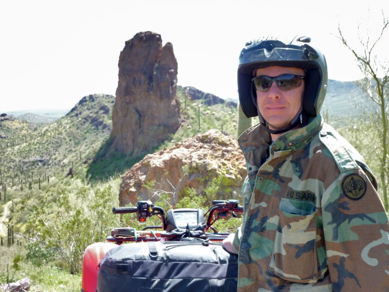 Jay |
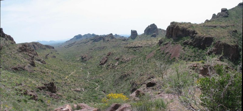
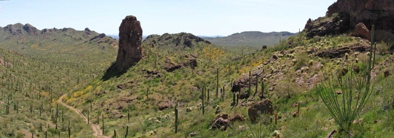 Pano to the South |
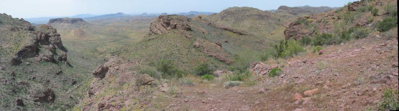
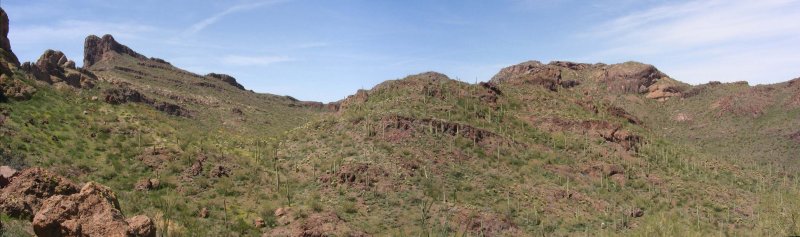 Pano Looking North |
 |
 |
 |
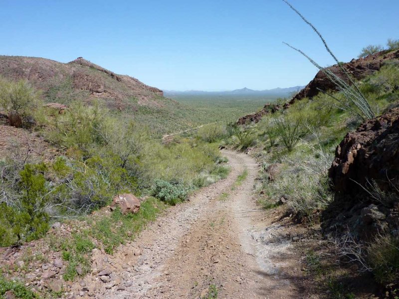
 The Road South |
 |
 |
 |
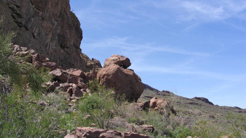 |
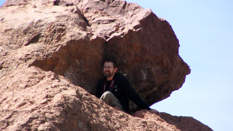 Tom Hiding in the Rocks |
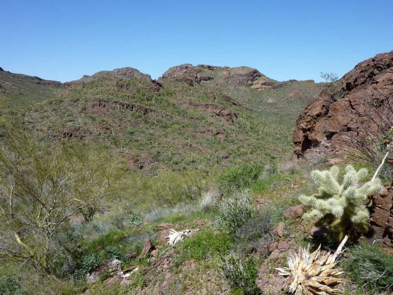
 Looking East into the Vekol Valley |
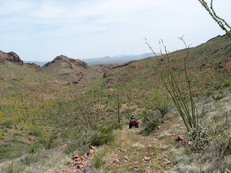
 Heading Back |
 |
 Jay Leading with Javelina Mountain in the Background |
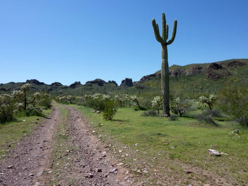
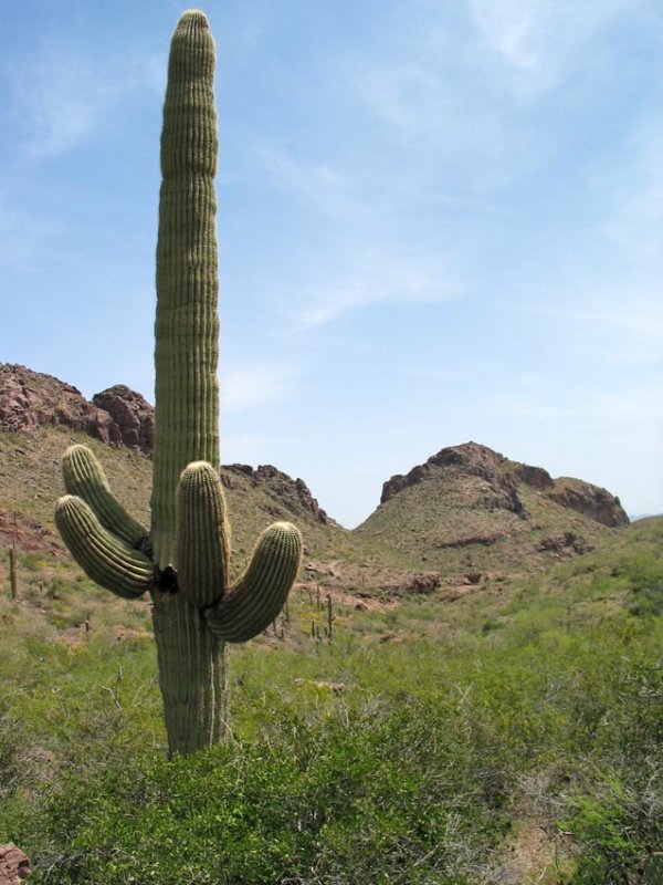
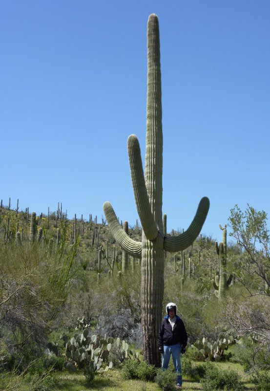 Giant Saguaro |
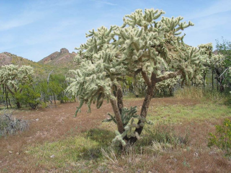
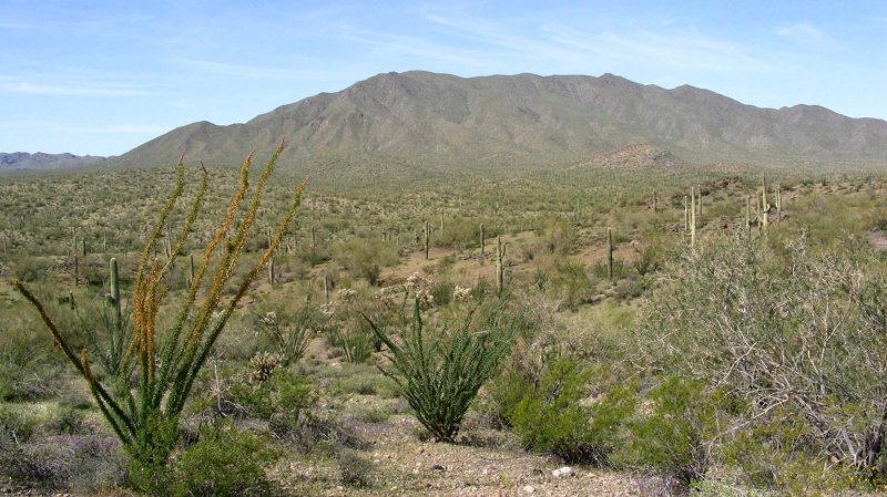 Ocatillo in Bloom |
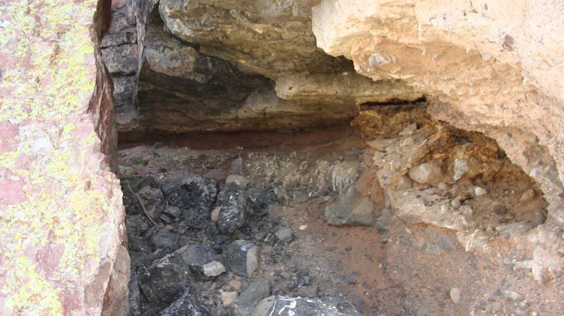
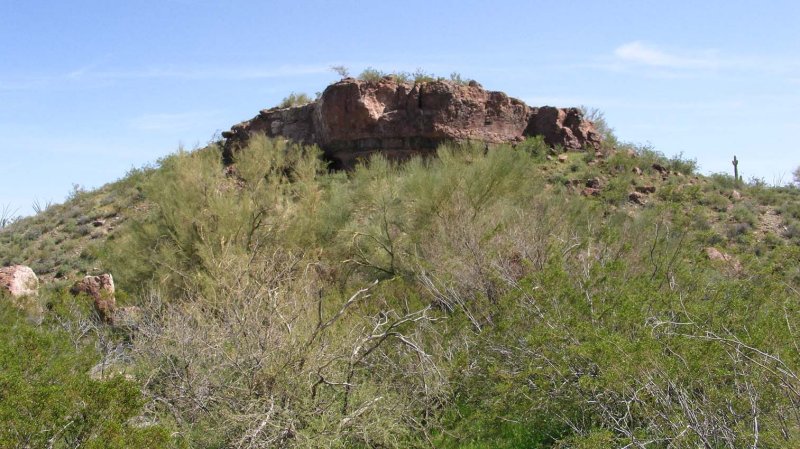 Obsidian Dome |
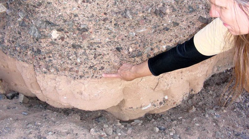
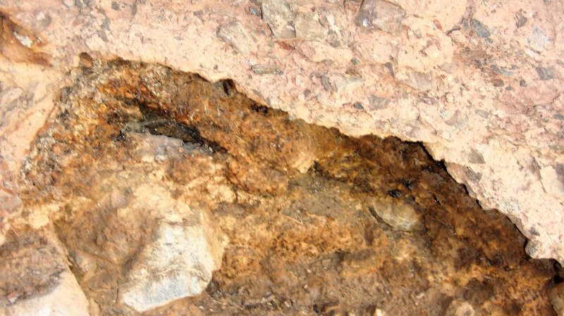 Layer of Obsidian |
 |
 |
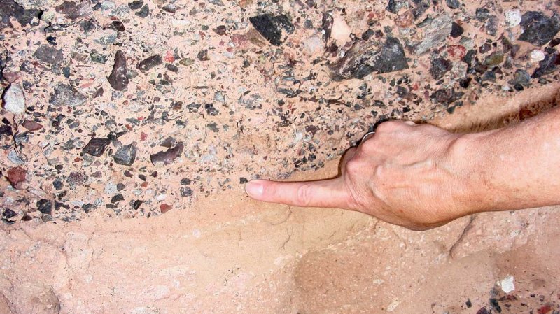
 Large Obsidian Outcrop |
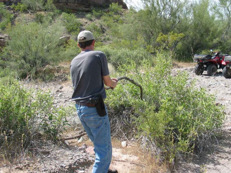 |
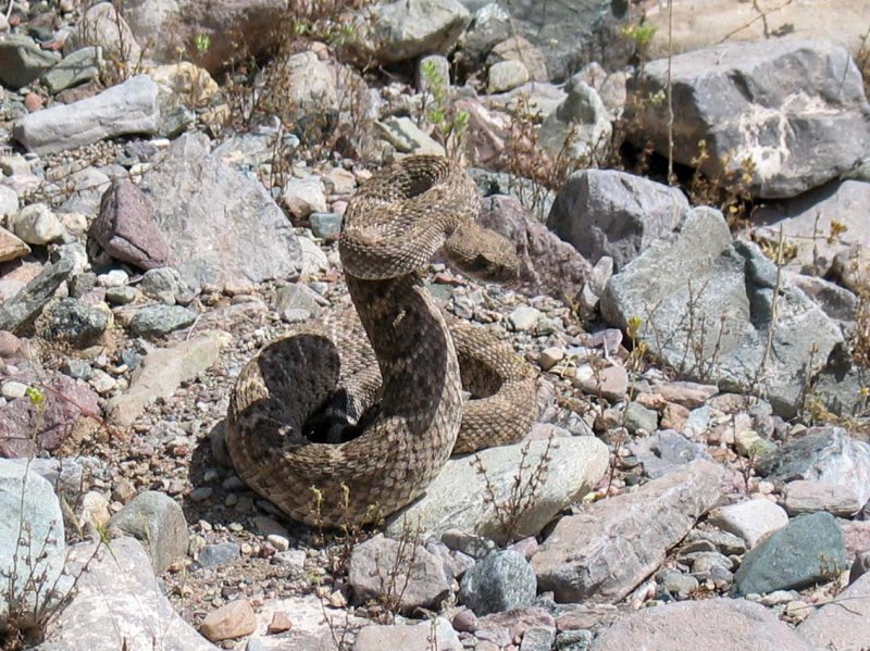
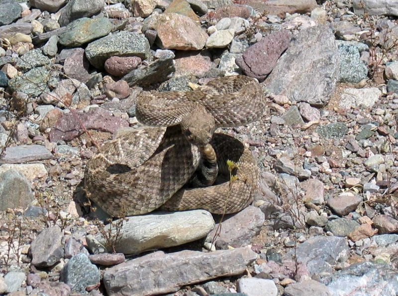
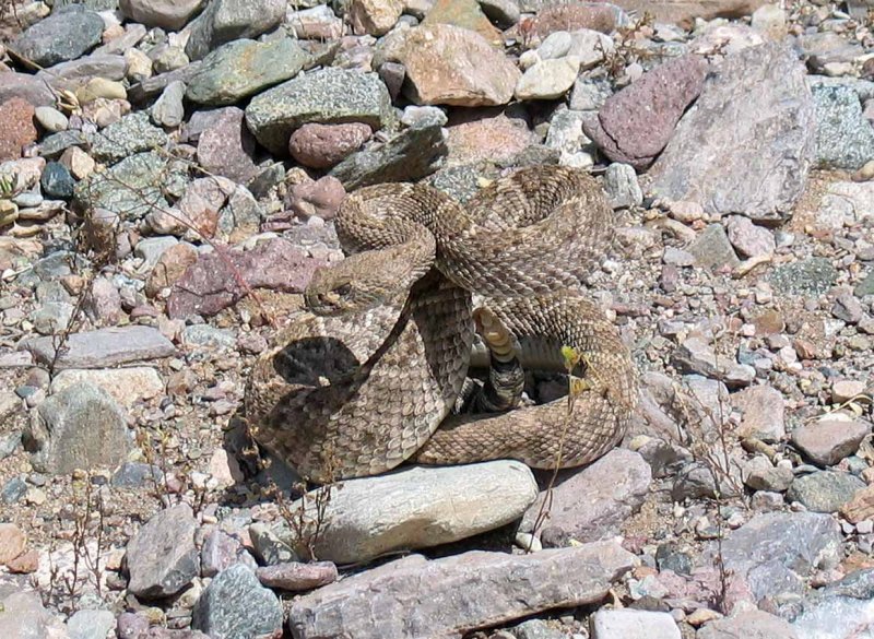
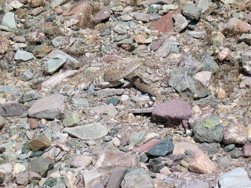 Rattlesnake in Wash |
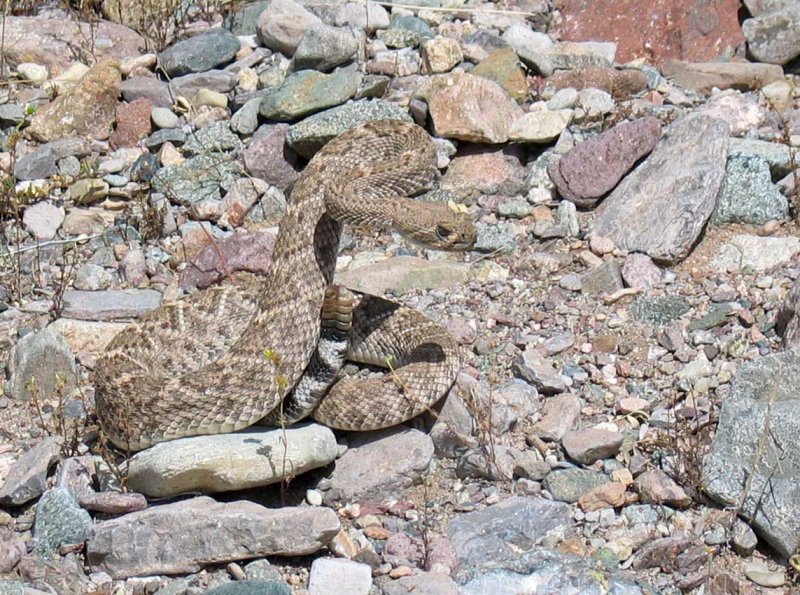 He's Not Happy |
 |
 |
 |
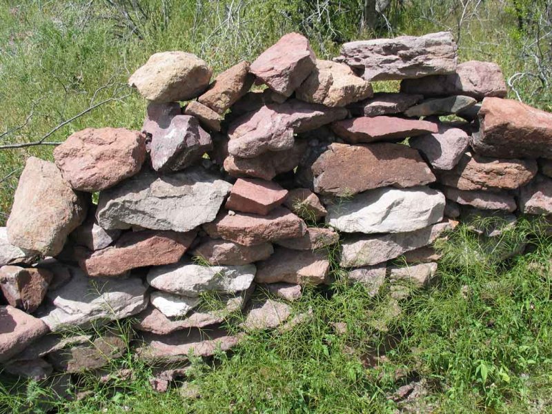
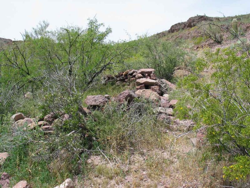
 Road to Indian Ruins |
 |
 |
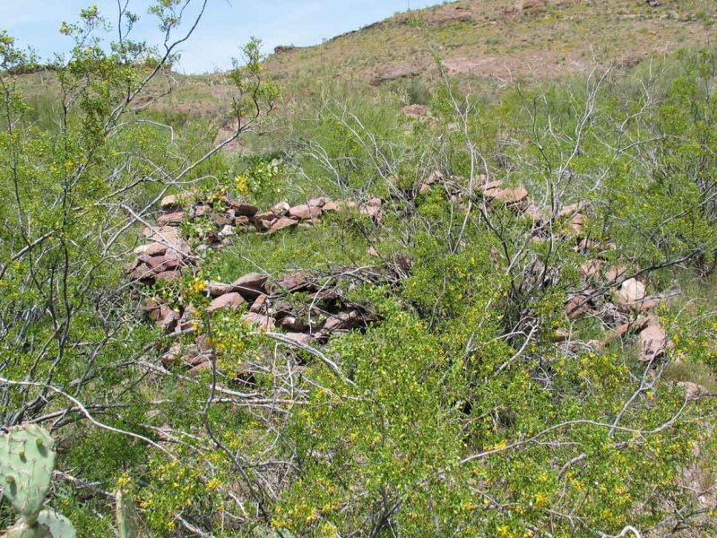
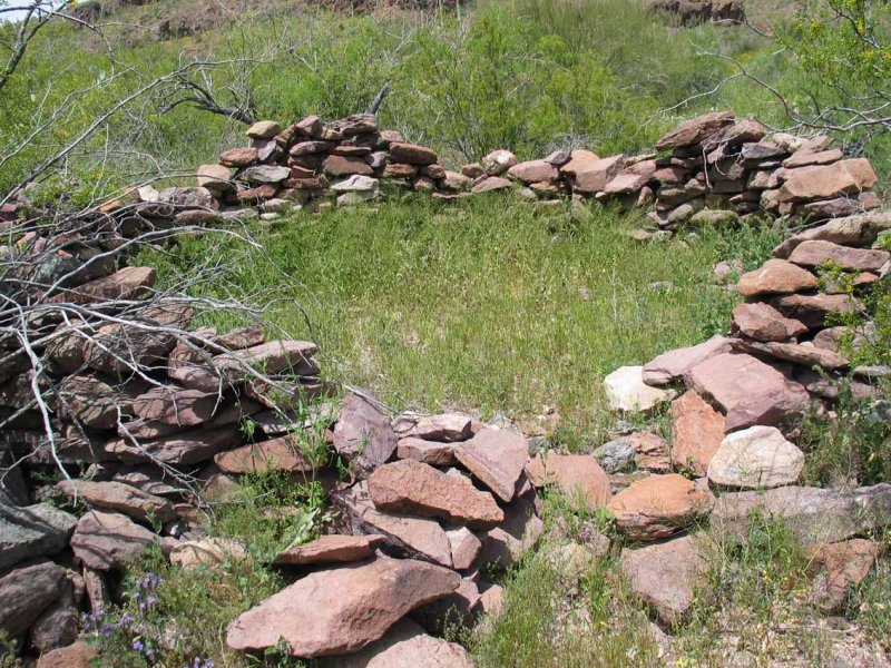
 Large Settlement with Several Rooms |
 |
 |
 |
 |
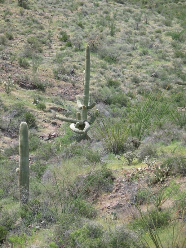 Crazy Cactus |
 Largest Room |
 |
 |
 |
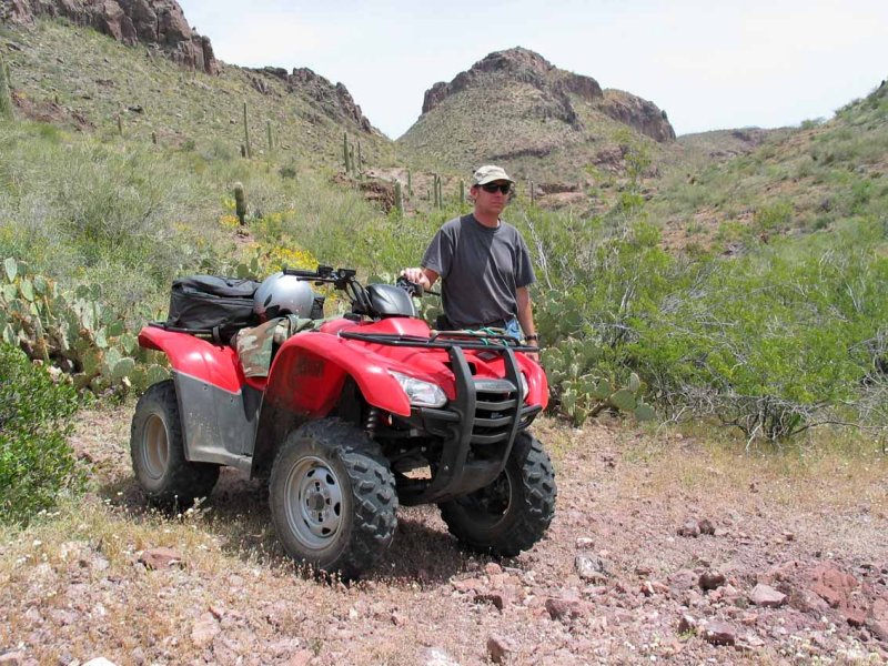 Jay |
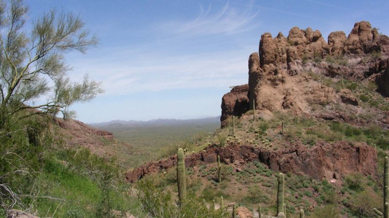
 Beautiful Overlook into Western Valley |
 |
 |
 |
 |
 Near Paradise Well |
 |
 |
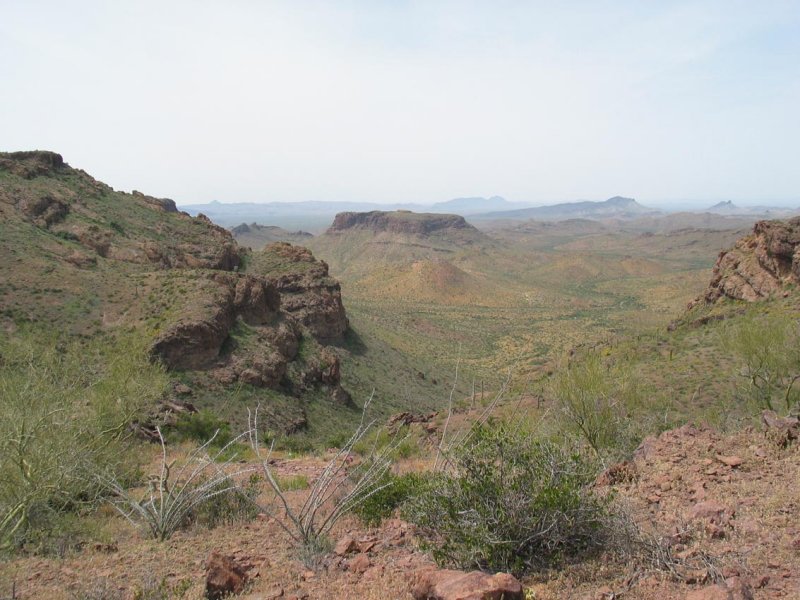
 Looking East from Highpoint |
 Western View |
 |
 |
| comment | share |