


|
|
|
|
|
|
| Paul Marcus | profile | all galleries >> Public Photos >> Moving Pictures | tree view | thumbnails | slideshow |
| previous page | pages 1 2 ALL | next page |
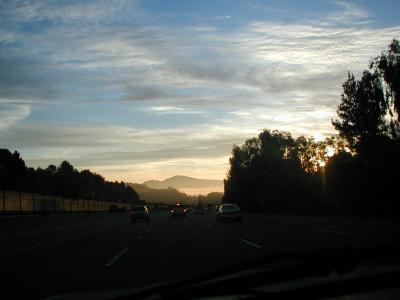
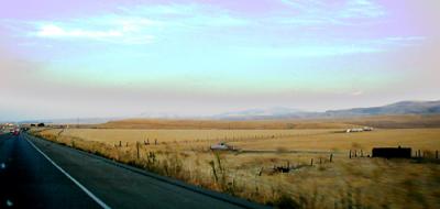 East Bay Hills A shot taken through the windshield while driving south on I-580 east of the Altamont Pass, California |
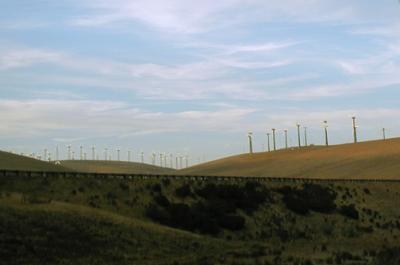 Wind Farm to the Left Wind farm in the Altamont Pass, East of Livermore, taken out the left window while driving East on I-580. |
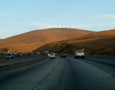 Wind Farm Ahead Wind farm in the Altamont Pass, East of Livermore, taken through the windshield while driving East on I-580. |
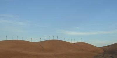 Wind Farm to the Right Wind farm in the Altamont Pass, East of Livermore, taken out the right window while driving East on I-580. |
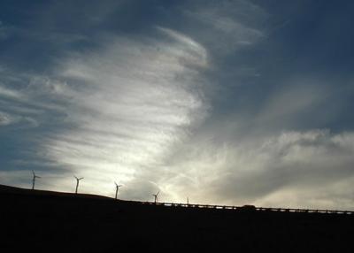 Wind Farm and Guardrail Wind farm in the Altamont Pass, East of Livermore, taken out the left window while driving East on I-580. |
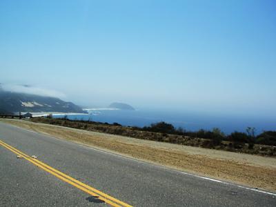 The Road Just Travelled Shot of the Pacific coast South of Big Sur, taken backwards (over the shoulder) out of the left window while driving North on California State Route 1. |
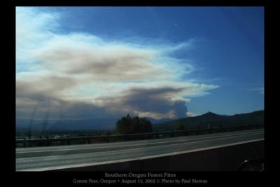 Fires, Southern Oregon A view of the smoke from the big fires Southwest of Grants Pass, taken while driving North on I-5. |
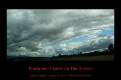 Mushroom Clouds on the Horizon A picture of some oddly-shaped clouds, taken through the windshield while driving South on I-5. |
 My Left Wrist A shot of my hand and steering wheel caused by shutter-lag (trying to take a shot out the window). |
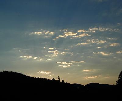
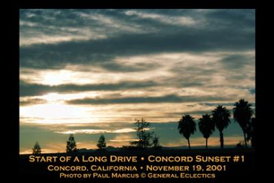 Concord Sunset #1 My son Isaac and I were leaving from Concord on a 9-day trip through the Trinity Alps, central Oregon, ultimately ending at my dad's on the Key Peninsula section of Puget Sound, northwest of Tacoma, Washington. |
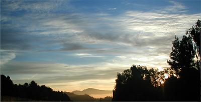
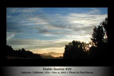 Diablo Sunrise #29 Sunrise illuminating Mount Diablo. |
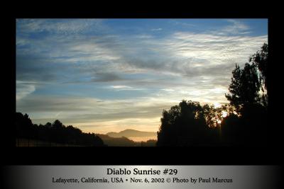 Diablo Sunrise #29 (full size) Sunrise illuminating Mount Diablo -- high-res, bordered version. Taken while driving State Highway 24 between Orinda and Lafayette, California. Cropped out cars in the foreground, producing pseudo-panoramic look. |
 PB060029.JPG "Diablo Sunrise #29"
|
 Diablio Sunrise #29 Unbordered crop as submitted to Luminous Landscape. |
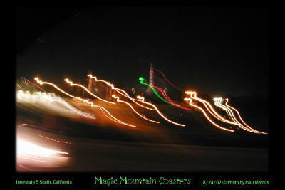 Magic Mountain Coasters Taken while driving south on Interstate 5 in California.
|
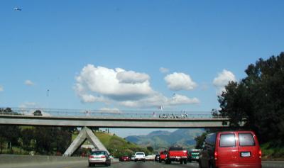 Friday Flag-Wavers I was alerted by the traffic reporters (see helicopter in upper-left) that these folks are on this overpass every Friday during the evening commute.
|
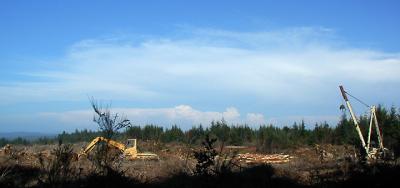 Clearcut on Seven Devils Road After having lunch and playing in the water for a while at Sunset Bay State Park, some nice folks from Roseburg told us of a "short cut" back to US 101 without having to drive 20 minutes back through Charleston, Coos Bay, and North Bend, the way we'd driven in.
|
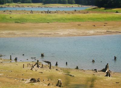 Stumps La Grande Stumps at the upper end of the resevoir formed by the La Grande and Alder Dams, along State Highway 7 on the way towards Mount Rainier and the town of Elbe, where there is a scenic steam train tourists can ride (and photograph). Taken through the rear passenger window of my dad's van as we drove by.
|
 Shasta Sunset Driving northwards along Interstate-5 near Mount Shasta I took several sunset photos.
|
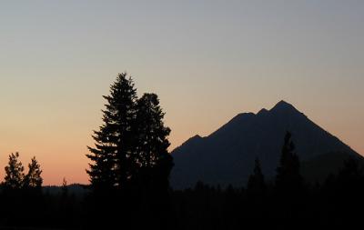 Black Butte Silhouette Driving northwards along Interstate-5 I got a pretty good shot of this volcanic cinder cone located at the foot of Mount Shasta itself. I also have a more highly colorized version which looks less natural but interesting anyway.
|
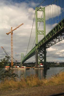 Building Bridges Construction on the second span of the Tacoma Narrows Bridge,
|
| previous page | pages 1 2 ALL | next page |
| comment |