photo sharing and upload picture albums photo forums search pictures popular photos photography help login
Florida Geological Survey | profile | all galleries >> Galleries >> maps tree view | thumbnails | slideshow
Welcome to the Photo Archive Website of the Florida Geological Survey/Department of Environmental Protection. You may download any images if you would like to use them for Power Point or other digital presentations. If you would like to use an image in a publication, please contact Dr. Tom Scott at thomas.scott@dep.state.fl.us or Rick Green, rick.green@dep.state.fl.us or Harley Means at guy.means@dep.state.fl.us
previous pagepages 1 2 ALL next page
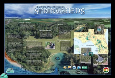
Background_Karst_5-03-2004_SEMIFLATTENED_SMALL.jpg
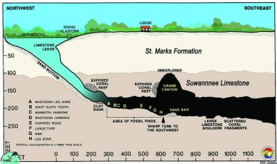
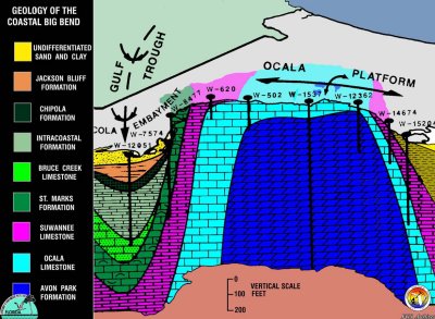
Bigbend-x-section.jpg
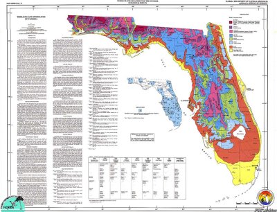
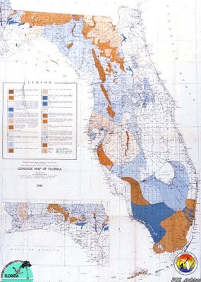
Cooke's 1945 Map.jpg
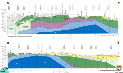
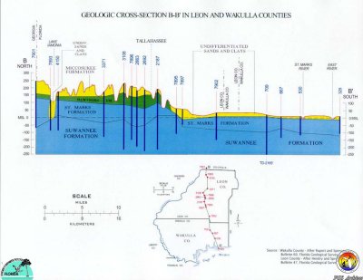
Cross section Leon Wakulla Cos.jpg
Fla terraces.jpg
Fla terraces.jpg
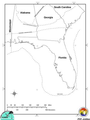
Florida Platform limits.jpg
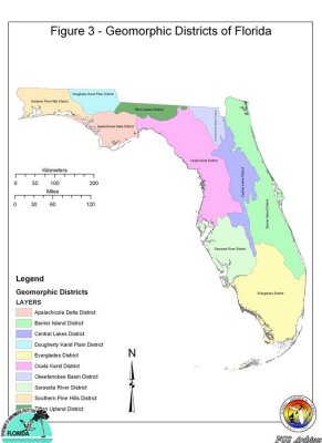
Geomorph Districts Florida.jpg
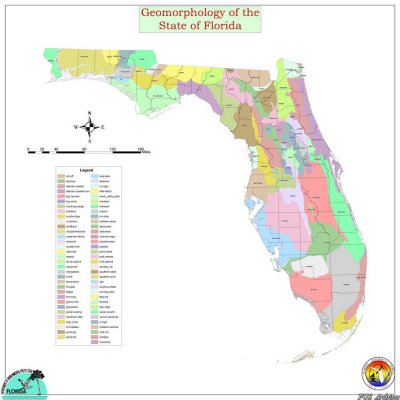
Geomorphic_map_image.jpg
Geosecs-x300.jpg
Geosecs-x300.jpg
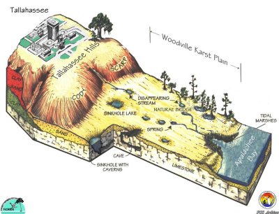
N-S block diagram Tallahasse to coast.jpg
StateGeolMapAA.jpg
StateGeolMapAA.jpg
Wakcave-col-xsect copy.jpg
previous pagepages 1 2 ALL next page