


|
|
|
|
|
|
| Florida Geological Survey | profile | all galleries >> Galleries >> coastal | tree view | thumbnails | slideshow |
| previous page | pages 1 2 3 4 ALL | next page |
 AnastasiaHouseofRefuge.jpg |
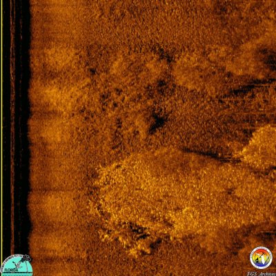 CAMAStudy-SSSDataExample-Po.jpg |
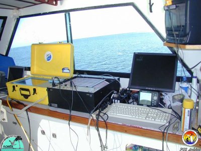 CAMAStudy-SSSRecieversAnalog&Digital-AlsoBathy.JPG |
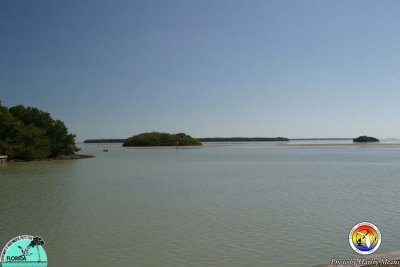
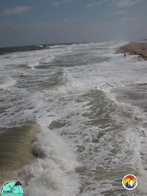
 Coastal2.jpg |
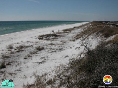
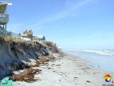
 CoastalWalton County.jpg |
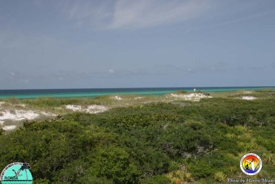
 CoastalWaltonCo2.jpg |
 CoastalWaltonCo3.jpg |
 CryoCoreMarkerLayer.JPG |
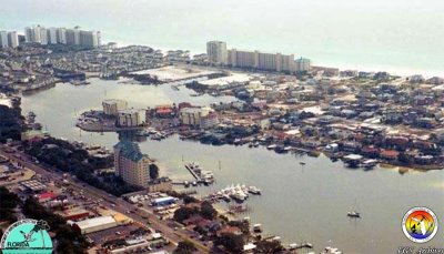 DESTIN 2004.jpg |
 Deston 1964.jpg |
 DryTortuga2.jpg |
 DryTortugas.jpg |
 ElliottKey.jpg |
 Flamingo.jpg |
 GPR 100mKHzTestFSU.jpg |
 GPR100mHzTestKarst.JPG |
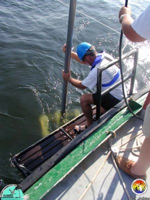
 MMS-NEFLStudy-SBPBoomer Sled Deployed .JPG |
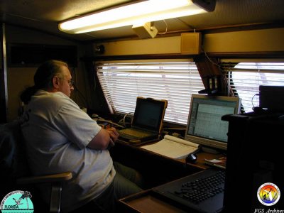 MMS-NEFLStudy-USGS-SBPGeoQuest1.JPG |
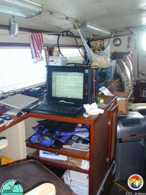 MMS-NEFLStudy-USGS-SBPGeoquest2.jpg |
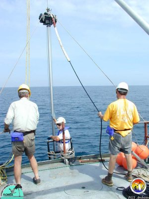
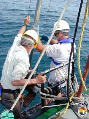
 MMS-NEFLStudy-VCoringGeoQuest1.JPG |
 MMS-NEFLStudy-VCoringGeoQuest2.JPG |
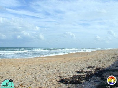 MMSNEFLStudy-BeachSJCo..JPG |
 MMSNEFLStudy-VCoringGeoQuest3.JPG |
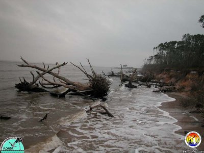
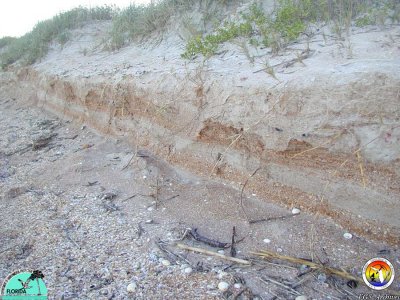 MMSNEFlStudy-Coastal Erosion-ShellHashBeds1.JPG |
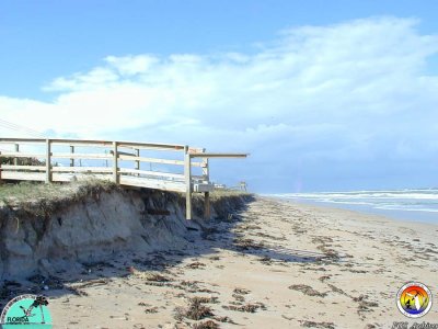
 MMSNEFlStudy-Coastal ErosionFGCo.2.JPG |
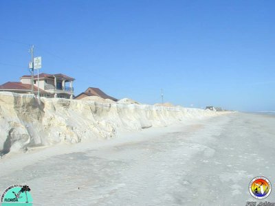
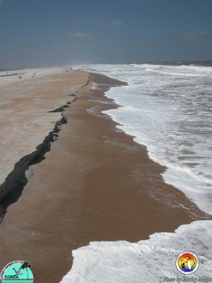
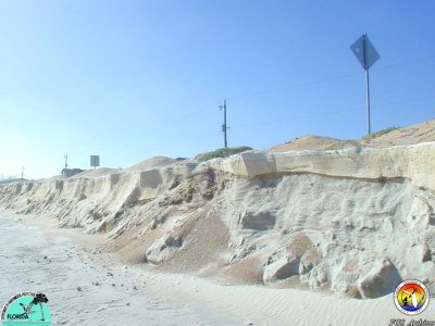 MMSNEFlStudy-Coastal ErosionFGCo.JPG |
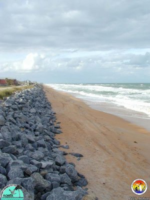 MMSNEFlStudy-RipRapArmorFlaglerCo.JPG |
 MarshCrystalRiver.jpg |
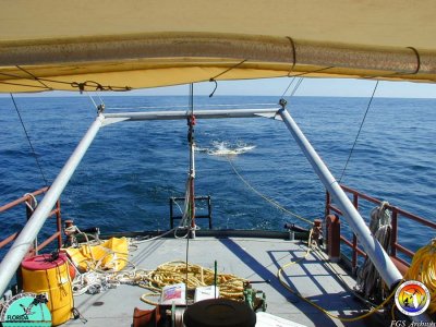
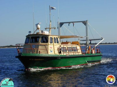 RVGeoQuest.JPG |
 SETCryocoringCumberland Island.JPG |
 SPark-at-BigTalbot Is mouth of NassauRDuval Co.JPG |
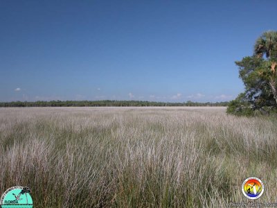
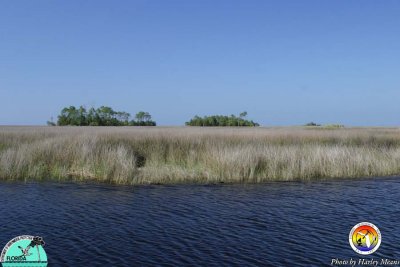 SaltMarshEconfinaRiver.jpg |
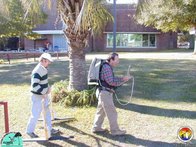
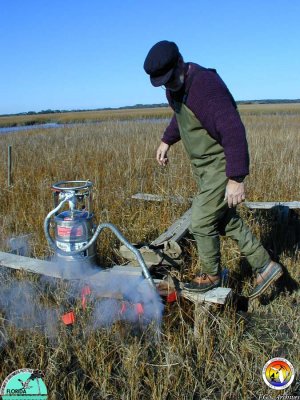
 Set Station.JPG |
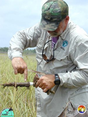
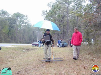
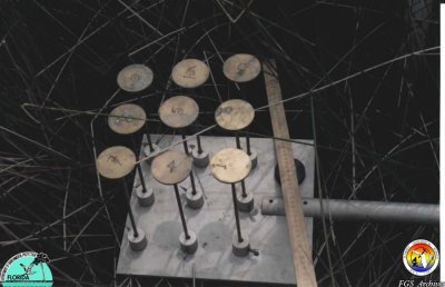
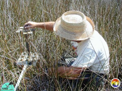 SetMeasurement.JPG |
 ShellMoundKingsBay.jpg |
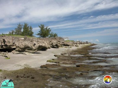
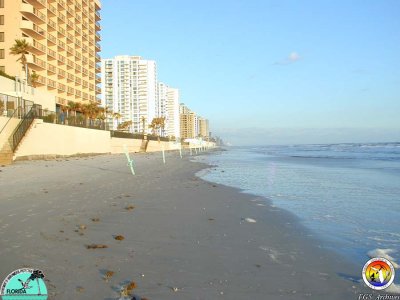
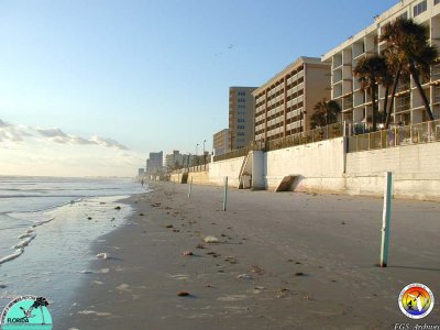
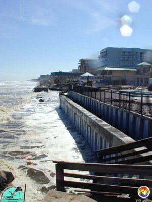
 St.AugustineBeach.jpg |
 StAugustine.jpg |
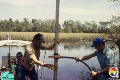 Vibrocoring.jpg |
 VoCo-BSample location 22 Looking North.jpg |
 VoCo-BSample location 7 Looking North.JPG |
 VoCo-BSample location22 Looking south.jpg |
 VoCo-BSample location34 lookingSouth.JPG |
 VoCo-BSample location35 lookingWest.JPG |
 VoCo-BSample location36 lookingNorth1.JPG |
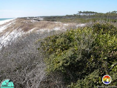
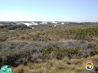 Walton CountyDune Community.jpg |
| previous page | pages 1 2 3 4 ALL | next page |
| comment | share |