


|
|
|
|
|
|
| fjparis | profile | all galleries >> Galleries >> Mt. Hood, Oregon, U.S.A Top Spur Trail to Ladd Glacier Creek 2015 08 (Aug) 26 | tree view | thumbnails | slideshow |
| previous page | pages 1 2 3 4 5 ALL | next page |
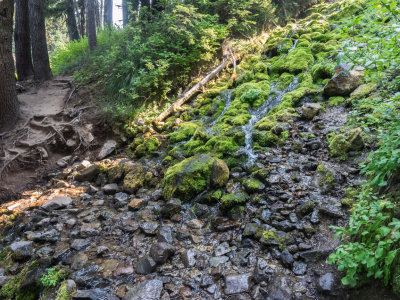
 P8260002.jpg * |
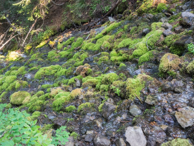
 P8260003.jpg |
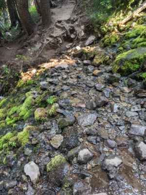
 P8260007.jpg * |
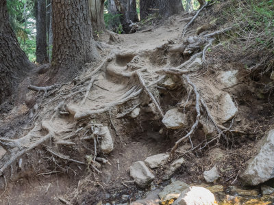
 P8260008.jpg * |
 P8260010.jpg * |
 P8260014.jpg |
 P8260015.jpg |
 P8260016.jpg * |
 P8260018.jpg |
 P8260020.jpg |
 P8260021.jpg |
 P8260022.jpg |
 P8260023.jpg |
 P8260028.jpg |
 P8260031.jpg |
 P8260032.jpg |
| previous page | pages 1 2 3 4 5 ALL | next page |
| comment | share |