


|
|
|
|
|
|
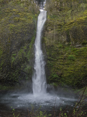
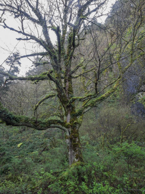
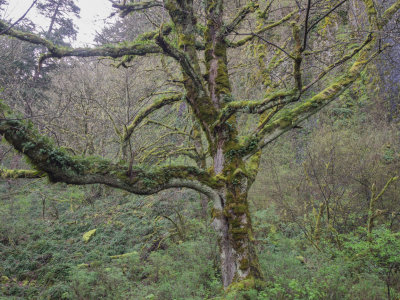
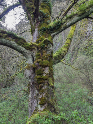
| fjparis | profile | all galleries >> Galleries >> Horsetail Falls to Oneonta Trail in the Columbia Gorge, Oregon Side 2014 04 (Apr) 08 | tree view | thumbnails | slideshow |
| previous page | pages 1 2 3 4 5 6 7 8 ALL | next page |
 P4080102.jpg |
 P4080103.jpg |
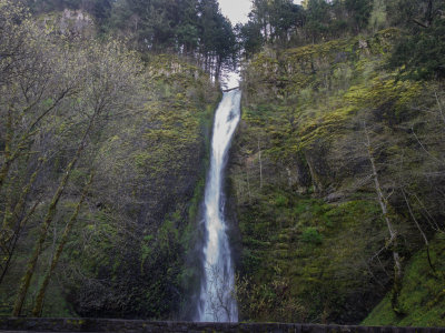
 P4080104.jpg * |
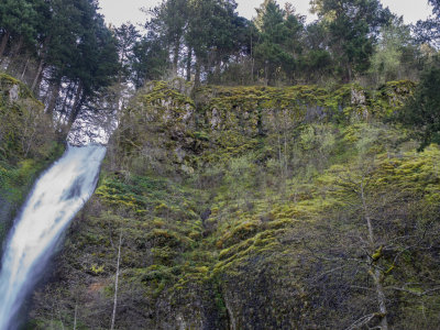
 P4080105.jpg * |
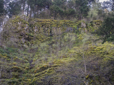
 P4080106.jpg * |
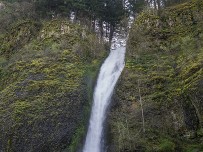
 P4080110.jpg * |
 P4080111.jpg * |
 P4080112.jpg * |
 P4080119.jpg |
 P4080120.jpg ** |
 P4080121.jpg |
 P4080124.jpg * |
| previous page | pages 1 2 3 4 5 6 7 8 ALL | next page |
| comment | share |