photo sharing and upload picture albums photo forums search pictures popular photos photography help login
fjparis | profile | all galleries >> Galleries >> U.S.A., Oregon, Mt. Hood, Top Spur Trail to McNeil Point 2014 08 (Aug) 22 tree view | thumbnails | slideshow

U.S.A., Oregon, Mt. Hood, Top Spur Trail to McNeil Point 2014 08 (Aug) 22

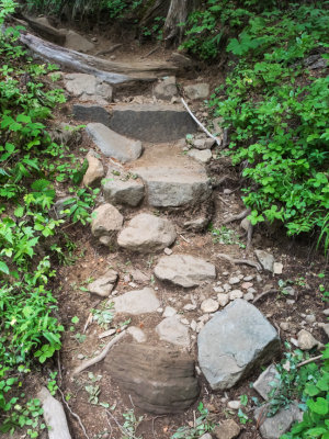
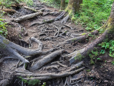
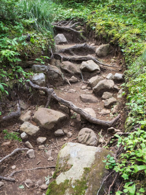
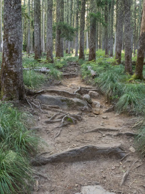
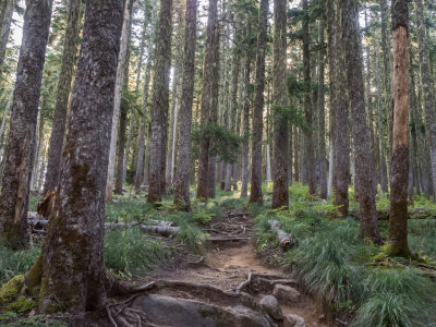
Hiking time: 561 minutes and 2.93 seconds, or 9 hours and 21 minutes. This was a 10 mile round trip hike starting at an elevation of 3,950 feet and ending at 6,200 feet, a couple hundred feet above the McNeil Point hut. Total climb was 2,500 feet. The first half mile was through an extremely rooty section, a real obstacle course. It was fun going up, treacherous coming back down on my way back. It took me 10 minutes traversing the 1/4 mile Top Spur Trail to the Pacific Crest Trail (PCT), but that final 1/4 mile back to the car took me a half hour! The biggest danger was my top heavy pack throwing me backwards with my greatly reduced sense of balance due to the fatigue of the 10 mile hike. I think this is what caused me to fall backwards when I was coming back on the Top Spur from that hike in early July thwarted by a series of 15 foot snow drifts covering the trail. This time I packed away my camera gear before heading back down the absurdly rooty Top Spur Trail.

At the beginning of the hike after climbing through the Top Spur obstacle course, instead taking the path directly around to the front of Bald Mountain for the normally astounding view of the west side of Mt. Hood, I decided to stay on the PCT, skipping the half mile detour for the view, because today there was no view of Mt. Hood! It was under cloud cover all day. Later I figured out why, when I noticed it wasn't getting warmer. The temperature stayed below 60° all day, which kept the relative humidity around the mountain high enough for the mountain itself to create its own cloud cover. Everywhere else but around the mountain was beautiful, cloud-free, blue sky.

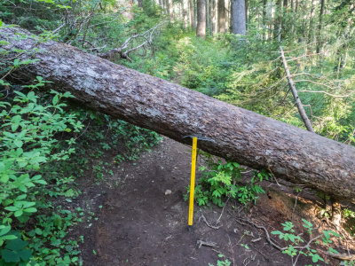
But it turned out that it was a mistake skipping the (non-existent) view, because that section of the Timberline Trail that I normally skip for the view has apparently not been maintained in at least a year and there were were awful blow-downs across the trail, one a tree four feet in diameter. There would have been no hope getting across this, except there was just enough room to crawl underneath it. All these blow downs were a very rude surprise.

Another than that, it was a straightforward hike, except some sections of the McNeil Point Trail were very hairy and steep, and one was across a boulder field that was very difficult for my short legs at the beginning of it. I also misunderstood a junction on the McNeil Point Trail that went steeply down after climbing and climbing from the Timberline Trail, and I took the fork up to the left instead of down to the right. Turns out it was the fork down that led directly to the McNeil Point Trail shelter, and the fork up took me a couple hundred feet above the shelter at the beginning of the McNeil Point Ridge. Well, I'd intended on taking the way trail above the shelter anyhow, for the views, so it was six of one, half dozen of the other.

Took 233 photos of which 128 made the cut.
previous pagepages 1 2 3 4 5 6 7 8 9 10 11 ALL next page
P8220002.jpg
P8220002.jpg
P8220003.jpg
P8220003.jpg
P8220005.jpg *
P8220005.jpg *
P8220006.jpg *
P8220006.jpg *
P8220007.jpg
P8220007.jpg
P8220008.jpg
P8220008.jpg
P8220009.jpg
P8220009.jpg
P8220010.jpg
P8220010.jpg
P8220013.jpg
P8220013.jpg
P8220014.jpg
P8220014.jpg
P8220015.jpg
P8220015.jpg
P8220016.jpg
P8220016.jpg
previous pagepages 1 2 3 4 5 6 7 8 9 10 11 ALL next page