photo sharing and upload picture albums photo forums search pictures popular photos photography help login
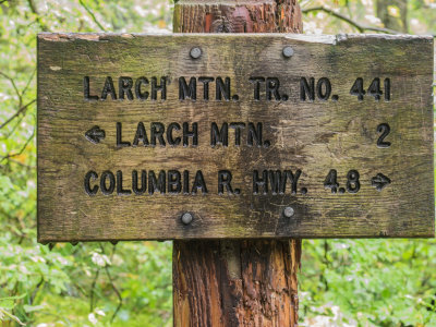
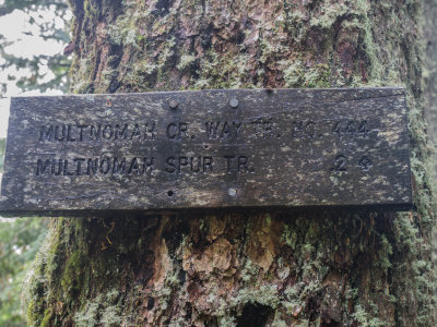
fjparis | profile | all galleries >> Galleries >> Larch Mountain Crater Loop, Columbia Gorge, Oregon, U.S.A. 2014 10 (Oct) 18 tree view | thumbnails | slideshow

Larch Mountain Crater Loop, Columbia Gorge, Oregon, U.S.A. 2014 10 (Oct) 18

Hiking time: 339 minutes and 17.66 seconds, or 5 hours and 39 minutes. 6.4 miles 1,300 elevation gain. Starting elevation: 3,200 feet, highest elevation: 4,020 feet. So this was a rather lightweight hike. The last time I was on this hike was 2005 06 (Jun) 04.

Larch Mountain is an ancient, worn down shield volcano just over 4,000 feet high in the Columbia Gorge, the only Columbia Gorge landmark visible from Portland, Oregon. It's caldera protects a forest growing within it from wind and fire and so it is filled with beautiful old growth forest. This hike is a traverse around the caldera.

It wasn't supposed to rain today, but I found myself in a cloud and it sprinkled (mostly) on and (occasionally) off all day, and as a result, I only used my waterproof 12-40mm lens and never took out either of my other lenses. Also, occasionally drops got on the front element of the lens (actually a filter) resulting in blurry spots on some of the images. Major bummer. A more natural haze in most of my photos is the result of the heavy fog caused by the cloud I was in. Because of the almost constant drizzle, I didn't stop for lunch and only had one health food bar all day when I got back to the car.

Since this was an overcast day and I would be in a forest, the obvious choice was to put the camera on my tripod and take my mountain axe rather than trekking poles. This is because it was dark and I would be taking long exposures. But the lighting was actually perfect for a forest hike: very even because it was dark. Took 164 photos of which 103 made the cut.

The trail starts out at 3,200 feet on a gated dirt road and climbs about 100 feet in 0.2 miles, where it hooks up with the Larch Mt. Trail and then drops a couple hundred feet to Multnomah Creek Way. Most of the time hiking was up Multnomah Creek Way, the "Way" in the trail name indicating that this was a very rough, ungroomed trail, full of rocks and roots. This was a 2.5 mile climb from 3,000 feet to 3,500 feet, where it intersects with the Oneonta Trail which then climbs to 3,900 feet in 0.9 miles to the Larch Mountain Road. The last quarter mile to (near) the summit of Larch Mountain climbs to 4,020 feet. There was no point in climbing all the way to the summit for the superb 360° view of all the major volcanoes visible from northwestern Oregon, because the view was totally fogged in. From my high point, there was a 1.5 mile descent to 3,200 feet through one of the most beautiful forests in the entire Columbia Gorge. The last 0.2 miles is along the gated, very stony dirt road.
previous pagepages 1 2 3 4 5 6 7 ALL next page
PA180001.jpg
PA180001.jpg
PA180003.jpg
PA180003.jpg
PA180004.jpg
PA180004.jpg
PA180006.jpg
PA180006.jpg
PA180009.jpg
PA180009.jpg
PA180010.jpg *
PA180010.jpg *
PA180012.jpg *
PA180012.jpg *
PA180016.jpg
PA180016.jpg
PA180017.jpg
PA180017.jpg
PA180018.jpg
PA180018.jpg
PA180019.jpg
PA180019.jpg
PA180020.jpg
PA180020.jpg
PA180021.jpg *
PA180021.jpg *
PA180022.jpg *
PA180022.jpg *
PA180023.jpg *
PA180023.jpg *
PA180026.jpg
PA180026.jpg
previous pagepages 1 2 3 4 5 6 7 ALL next page