photo sharing and upload picture albums photo forums search pictures popular photos photography help login
fjparis | profile | all galleries >> Galleries >> U.S.A., Oregon, East of Mount Hood, Gumjuwac Trailhead to Lookout Mountain 2014 08 (Aug) 16 tree view | thumbnails | slideshow

U.S.A., Oregon, East of Mount Hood, Gumjuwac Trailhead to Lookout Mountain 2014 08 (Aug) 16

Hiking time: 485 minutes and 1.71 seconds, or 8 hours and 5 minutes. Trailhead at 3,550 feet and Lookout Mountain summit at 6,525 feet. Approximately 3,000 foot climb in 5 miles (10 miles round trip). I had a terrible time finding the trailhead. The guidebook said it was between milepost 68 and 69 but there were no mileposts anywhere near the trailhead. It took me a half hour honing in on it (back and forth along U.S. 35, examining various dirt roads off 35). When I finally found it, there were no signs or designated parking areas, just a slightly wider shoulder next to the trailhead. Someone must have stolen the mileposts, and any signs announcing the Gumjuwac Trailhead.

This is the first hike I've taken in years with a 3,000 foot climb through 5 miles, and 90% of the rise is at a 1,000 foot ascent per mile (20% grade). I did amazingly well on this hike. Nothing got sore, but the last hour of the descent my legs felt very weak and unsteady. I felt as if I were just crawling, but I managed to descend 1,400 feet in elevation in the last hour of the hike, where the grade averaged 20%. No sore feet at the end of the hike! I did not experience nearly as much altitude impairment as in previous hikes above 6,000 feet this year, and my high point reached 6,500 feet for the first time this year. I felt perfectly fine making the final ascent to Lookout Mountain, which was full of people at the summit (there's a much easier route to the summit, where the automobile does most of the work, but on a gravel road that would add at least an hour to the total driving time).

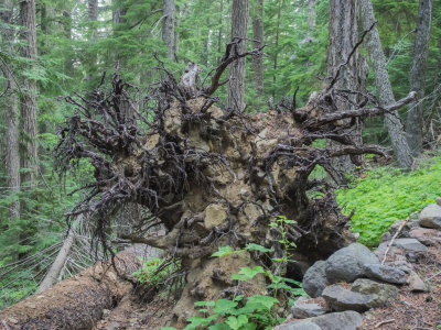
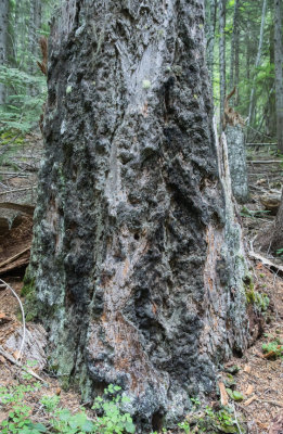
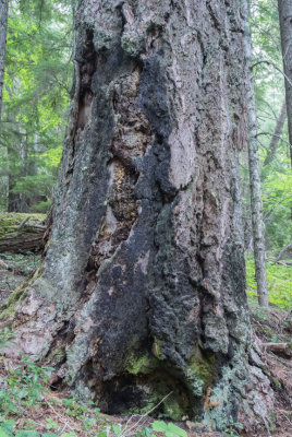
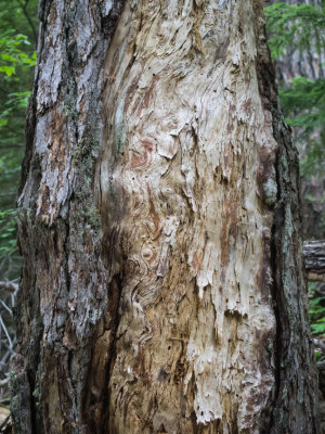
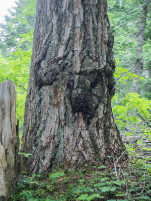
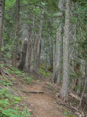
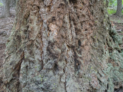
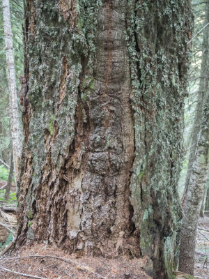
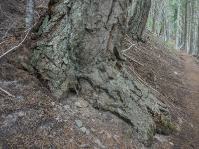
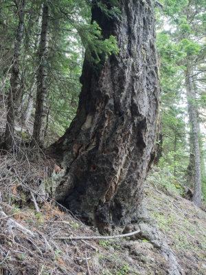
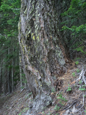
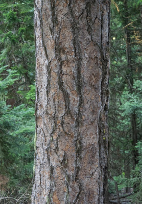
Took 170 photos, of which 101 made the cut. I don't know whether the forest that the Gumjuwac Trail runs through is old growth, but it sure looks like it. It's a very impressive forest just to the east of the Pacific Cascade Crest. Lots of large, scorched, grisly tree trunks, downed timber all over the place. There were also lots of flowers you don't see on the west side of the Crest.

There were lots of views of Mt. Hood, but after getting a clear view of it at 5,100 feet on the Gumjuwac Trail, a cloud covered the summit area for the rest of the day. There was also wildfire haze that made the Cascade Volcanoes invisible at the summit of Lookout Mountain, which on a clear day exposes all of them from Mt. Rainier to the Three Sisters. The only one that was visible (slightly) besides Mt. Hood was Mt. Jefferson, so obscure it would easily have been missed. So the haze was a disappointment, since the views at the summit are supposed to be stupendous. I was able to see the desert in Eastern Oregon and got a couple telephoto's of it.
previous pagepages 1 2 3 4 5 6 7 8 9 ALL next page
P8160003.jpg *
P8160003.jpg *
P8160004.jpg **
P8160004.jpg **
P8160006.jpg **
P8160006.jpg **
P8160007.jpg
P8160007.jpg
P8160008.jpg *
P8160008.jpg *
P8160009.jpg
P8160009.jpg
P8160010.jpg
P8160010.jpg
P8160014.jpg
P8160014.jpg
P8160017.jpg
P8160017.jpg
P8160020.jpg
P8160020.jpg
P8160021.jpg *
P8160021.jpg *
P8160022.jpg *
P8160022.jpg *
previous pagepages 1 2 3 4 5 6 7 8 9 ALL next page