photo sharing and upload picture albums photo forums search pictures popular photos photography help login
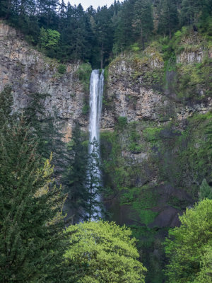
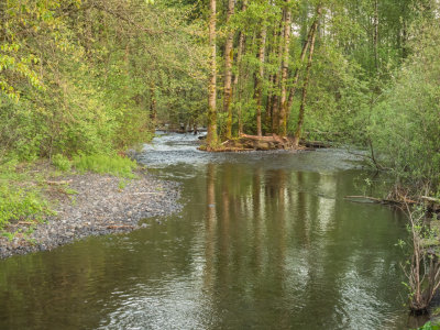
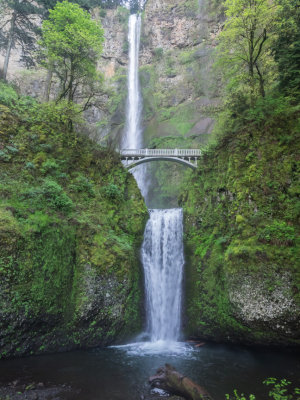
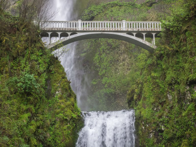
fjparis | profile | all galleries >> Galleries >> Franklin Ridge Loop from Multnomah Falls, Columbia Gorge, Oregon, U.S.A. 2015 04 (Apr) 27 tree view | thumbnails | slideshow

Franklin Ridge Loop from Multnomah Falls, Columbia Gorge, Oregon, U.S.A. 2015 04 (Apr) 27

The Franklin Ridge Trail is a lonely trail three miles from Multnomah Falls off the Larch Mt. Trail. It is full of beautiful old growth. The trail can be brushy and thickly overgrown, but only in the summertime, which now in the middle of spring, I avoided. It rises 1,000 feet from a start at 1,800 feet from the Larch Mt. Trail, then goes up and down between 2,700 feet and 2,950 feet over a distance of two miles before turning into Trail 446 which rejoins the Larch Mt. Trail at 1,950 feet and five miles from Multnomah Falls.

An ambitious hike for me, but it didn't knock the stuffings out of me because I took my time and took several rest/snack stops along the way. I knew I'd been on a tough hike at the end, though. Hiking distance according to the guidebook: 12.2 miles. Total Climb: Approx. 3,300 feet. Hiking time: a long 9 hours, 26 minutes, and 57 seconds. I don't do hikes this ambitious very often. Got on the trail at 6:20 AM or (0:00:00 hike o'clock) when the temperature was 52°. It warmed up to an astounding 80° by the time I got back to the car, warmest day this year so far by far.

Hike starts at an elevation of 50 feet where I parked the car. Took my trekking poles, so all photographs were hand-held. Timeline: At 0:18:40.18 o'clock (18 minutes and 40.18 seconds into the hike), I reached the beginning of the steep climb up the paved section of the Larch Mt. Trail. At 0:55:52.91 o'clock (37 minutes and 12.73 seconds later), I reached the top of the paved Larch Mt. Trail after 9 switchbacks. At 1:43:45 o'clock (47 minutes and 52.66 seconds later) I reached the intersection with the Wahkeena Trailhead at (1,200 feet elevation). At 2:48:19 o'clock (1 hour, 4 minutes, and 33 seconds later) I reached the Franklin Ridge Trailhead where I took a rest stop and ate. At 3:02:45 o'clock (14 minutes and 25.87 seconds later) I started my hike up the Franklin Ridge. At 4:38:01 o'clock (1 hour, 35 minutes, and 16 seconds later) I reached the first summit of Franklin Ridge where I rested again and ate. At 4:54:05 o'clock (16 minutes and 3.49 seconds later) I resumed my trek along the Franklin Ridge, which went up and down between 2,700 feet and 2,950 feet before reaching the Larch Mt. Trail 5 miles from Multnomah Falls and continuing down the trail to the original intersection with the Franklin Ridge Trailhead at 7:47.51 o'clock (2 hours, 53 seconds, and 46 seconds later), where I rested and ate until 7:58:36 o'clock (10 minutes and 45.19 seconds rest stop). Resumed hiking back to the car at full speed, which I reached at 9:26:57 (1 hour, 28 minutes, and 20 seconds), tired but not exhausted.

Took 256 photos of which 130 made the cut.
previous pagepages 1 2 3 4 5 6 7 8 9 ALL next page
P4270001.jpg *
P4270001.jpg *
P4270003.jpg *
P4270003.jpg *
P4270007.jpg *
P4270007.jpg *
P4270008.jpg
P4270008.jpg
P4270014.jpg *
P4270014.jpg *
P4270016.jpg
P4270016.jpg
P4270017.jpg
P4270017.jpg
P4270019.jpg
P4270019.jpg
P4270020.jpg *
P4270020.jpg *
P4270023.jpg
P4270023.jpg
P4270024.jpg *
P4270024.jpg *
P4270025.jpg
P4270025.jpg
P4270027.jpg *
P4270027.jpg *
P4270028.jpg *
P4270028.jpg *
P4270029.jpg
P4270029.jpg
P4270030.jpg *
P4270030.jpg *
previous pagepages 1 2 3 4 5 6 7 8 9 ALL next page