photo sharing and upload picture albums photo forums search pictures popular photos photography help login
fjparis | profile | all galleries >> Galleries >> Mt. Hood, Oregon, U.S.A. Elk Meadows Trailhead to Newton/Clark Ridge to 6,350 feet 2014 08 (Aug) 04 tree view | thumbnails | slideshow

Mt. Hood, Oregon, U.S.A. Elk Meadows Trailhead to Newton/Clark Ridge to 6,350 feet 2014 08 (Aug) 04

Finally, a real hike! Hiking time: 541 minutes, or 9 hours and 1 minute. I started the hike at 7:40 in the morning. Route: Elk Meadows Trailhead at 4,300 feet elevation on the NE side of Mt. Hood off Highway 35 across the Clark Creek wooden bridge to the Newton Creek Trailhead. Left on the Newton Creek Trail to the Timberline Trail at 5,600 feet elevation. Left on the Timberline Trail to the ridge line on the Newton/Clark Ridge at 5,750 feet, up on the ridge line to 6,350 feet, then switching back and forth down the side of the ridge to the Timberline Trail to the right on the Newton Creek Trail to the right on the Elk Meadows Trail to the car. This was only about a 7.2 round trip hike but it involved 2,000 feet of climbing to a high elevation, so it must be rated "difficult" (for me, and probably for the average person much younger than I am).

To get back home, I drove north on incredibly scenic Highway 35 31 miles downhill all the way to left on Interstate 84 at Hood River to left on Interstate 205 to home, a distance of 89 miles. Driving to the trailhead, I went up Interstate 84 to the Wood Village exit, south to Gresham, left on Highway 26 through Sandy, for a distance of 64 miles. But bucking the traffic lights and slow speed limits through the towns going made the travel time the same both going and coming, even though there was a driving difference of 25 miles. Driving back was much more pleasant than driving to the trailhead.

Took 211 photos of which an ungodly 144 "masterpieces" made the cut. I had two options for this hike: Gnarl Ridge or the unlikely prospect of tackling the Newton/Clark Ridge, my name for the officially unnamed prominent ridge between Newton and Clark Creeks. In anticipation that I would be crossing a risky creek, I didn't want to make my camera vulnerable to a spill on the end of a tripod, and so I secured it inside my day pack and strapped my tripod onto the back of the pack.

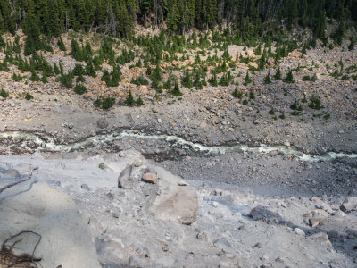
But the Gnarl Ridge hike depended on my ability to negotiate the Newton Creek at the Timberline Trail. But Newton Creek was roaring like I'd never seen it before, so I didn't even bother hiking down to it from the junction of the Newton Creek Trail and the Timberline Trail. Once I hit the Timberline Trail, I unpacked my camera and tripod and stuck them together. They were always on call for the rest of my hike.

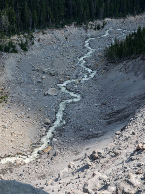
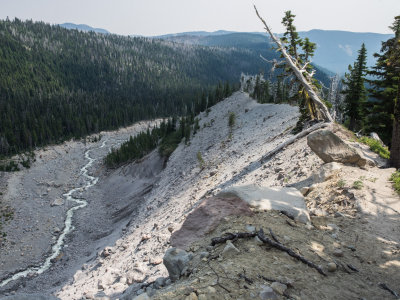
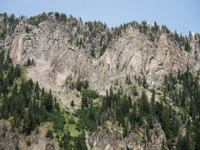
Choosing the Newton/Clark Ridge as my hike was serendipitous, because the option I was forced to take was much more scenic than hiking along the top of Gnarl Ridge, where the crags were not nearly as visible as viewing the ridge from the side and below. So, instead of heading right down to Newton Creek, I headed left around to the ridge line of Newton/Clark Ridge. I really didn't feel it was realistic for my 72 year old legs to tackle that ridge, but when I got to the ridge line, I said, what the heck, and stepped off the trail and headed up the steep, brushy ridge. I just kept going and going, eventually realizing that I was committing myself to traversing down the side of the ridge back to the Timberline Trail. (In my heyday, I traversed up the side of the ridge, way beyond my current capabilities.)

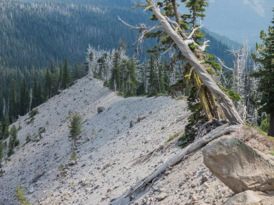
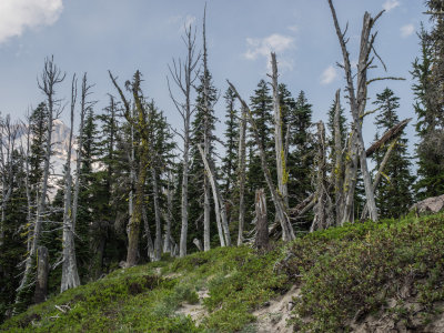
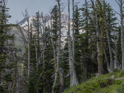
It was fun and challenging making may way up and through obstacles (clumps of trees and fallen timber), and my determination to go through with this ridge climb increased as I started breaking out of timberline and into meadows along the top of the ridge. But as I made my way higher and higher approaching 6,000 feet elevation, my respiration became more and more difficult and above 6,000 feet I was reduced to a crawl. Nevertheless I found the minimal energy necessary to photographically document my progress up the ridge and I finally broke out of Timberline at about 6,200 feet. My only goal at this point (aside from photographing the wonders at that height) was to climb high enough on the ridge to find a feasible exit point off the ridge line and down the side of the ridge.

By the time I got to my high point of
previous pagepages 1 2 3 4 5 6 7 8 9 10 11 12 ALL next page
P8040100.jpg
P8040100.jpg
P8040101.jpg *
P8040101.jpg *
P8040102.jpg **
P8040102.jpg **
P8040103.jpg
P8040103.jpg
P8040104.jpg
P8040104.jpg
P8040105.jpg *
P8040105.jpg *
P8040106.jpg *
P8040106.jpg *
P8040108.jpg *
P8040108.jpg *
P8040109.jpg *
P8040109.jpg *
P8040110.jpg *
P8040110.jpg *
P8040112.jpg *
P8040112.jpg *
P8040113.jpg *
P8040113.jpg *
previous pagepages 1 2 3 4 5 6 7 8 9 10 11 12 ALL next page