


|
|
|
|
|
|
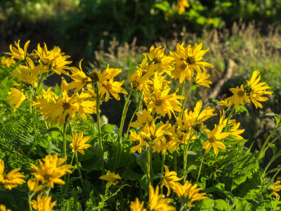
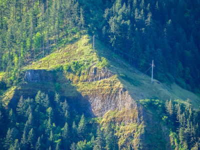
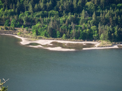
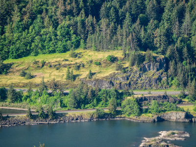
| fjparis | profile | all galleries >> Galleries >> Dog Mountain Blanketed in Balsamroot Sunflowers, Columbia Gorge, Washington, U.S.A. 2015 05 (May) 08 | tree view | thumbnails | slideshow |
| previous page | pages 1 2 3 4 5 6 7 ALL | next page |
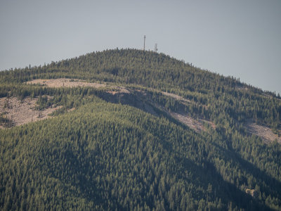
 P5080001.jpg |
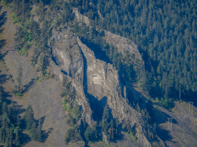
 P5080002.jpg * |
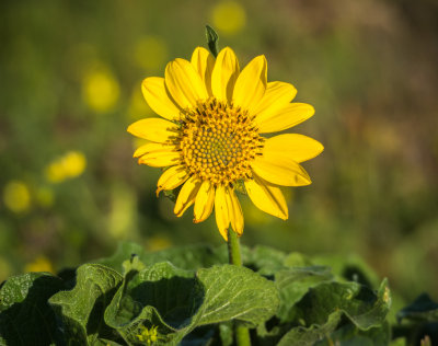
 P5080003.jpg * |
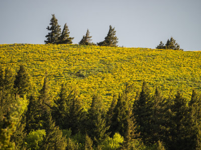
 P5080004.jpg |
 P5080005.jpg * |
 P5080006.jpg * |
 P5080007.jpg |
 P5080013.jpg |
 P5080023.jpg |
 P5080029.jpg |
 P5080033.jpg |
 P5080036.jpg |
 P5080037.jpg * |
 P5080038.jpg * |
 P5080039.jpg * |
 P5080042.jpg * |
| previous page | pages 1 2 3 4 5 6 7 ALL | next page |
| comment | share |