


|
|
|
|
|
|
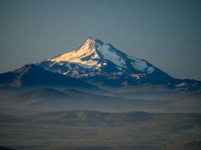
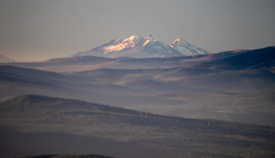
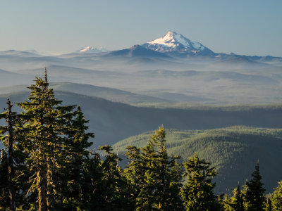
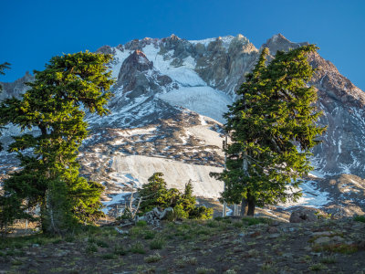
| fjparis | profile | all galleries >> Galleries >> What an adventure! Lots of off-trail hiking on Mt. Hood, Oregon, U.S.A. 2014 10 (Oct) 03 | tree view | thumbnails | slideshow |
| previous page | pages 1 2 3 4 5 6 7 8 9 10 11 12 13 14 15 16 17 18 19 ALL | next page |
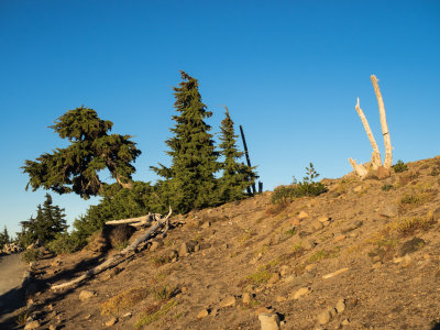 PA030001.jpg * |
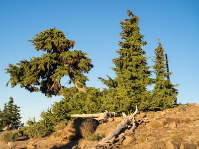 PA030002.jpg * |
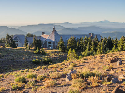 PA030003.jpg * |
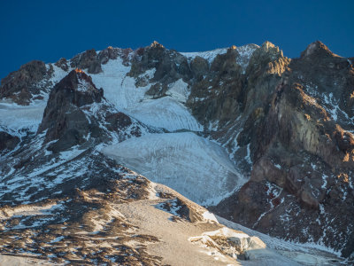 PA030004.jpg |
 PA030006.jpg * |
 PA030010.jpg * |
 PA030011.jpg |
 PA030013.jpg |
 PA030014.jpg * |
 PA030015.jpg |
 PA030018.jpg * |
 PA030019.jpg * |
| previous page | pages 1 2 3 4 5 6 7 8 9 10 11 12 13 14 15 16 17 18 19 ALL | next page |
| comment | share |