


|
|
|
|
|
|
| Peiying Mo | profile | all galleries >> Travel >> The Down Under 2008 >> North Island, New Zealand >> Tongariro Alpine Crossing | tree view | thumbnails | slideshow |
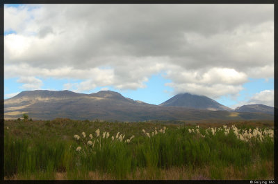 Mt. Tongariro, which blew its top off long ago |
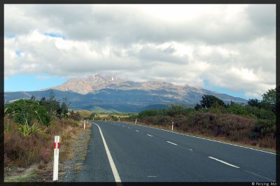 Mt. Ruapehu is covered with snow year round |
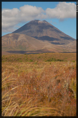 Mt. Ngauruhoe, or Mt Doom in Lord of the Rings |
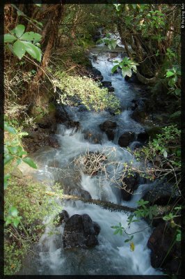
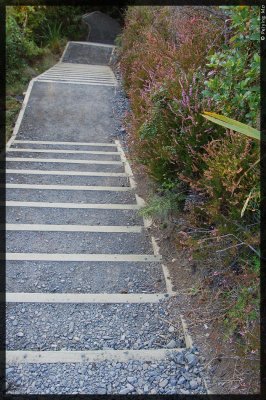 steps down to a creek |
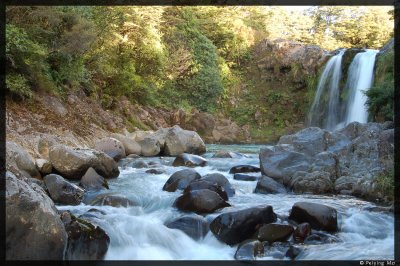 Tawhai Falls |
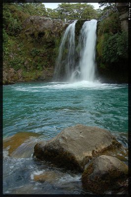 Closer view of the Tawhai Falls |
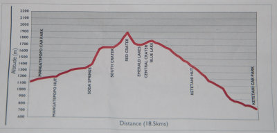 Tongariro Crossing elevation map with key landmarks |
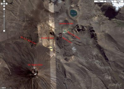 Satelite image of key landmarks |
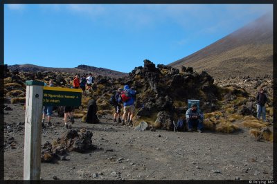
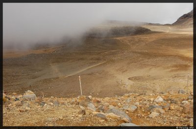
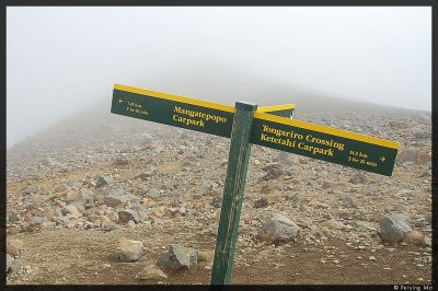
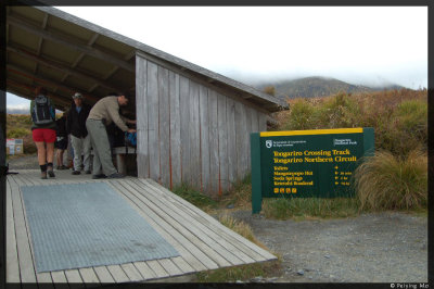 The start of the Tongariro Crossing |
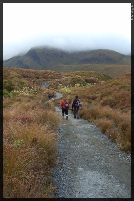 The low hanging clouds signal bad weather |
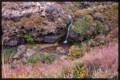 Little waterfall along the Mangatepopo Stream |
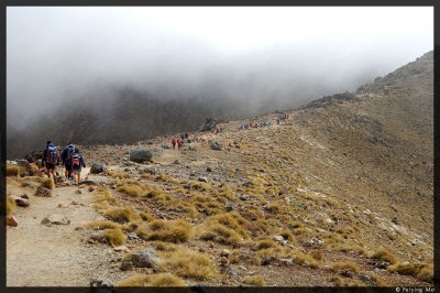
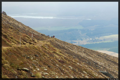
 A group of hikers make up a very small element in this vast landscape |
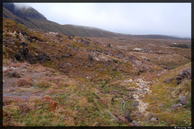
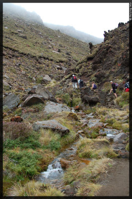 Mangatepopo Stream is right along the path |
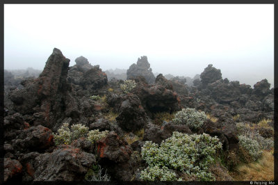 Rugged terrain |
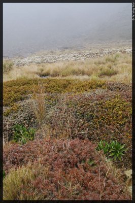 Various vegetations |
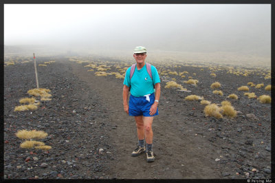 The 71yr old guy volunteers for the Dept. of Conservation |
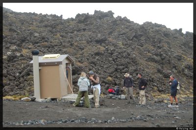 The last toilet stop before the long hike |
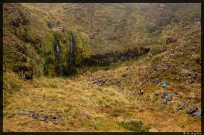 Waterfall by the Soda Spring |
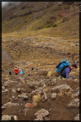 The beginning of the steep hike called "devil's staircase". |
 Looking up: 200m elevation gain for a 45 minute hike |
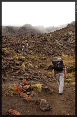
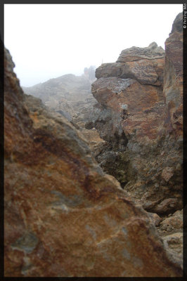
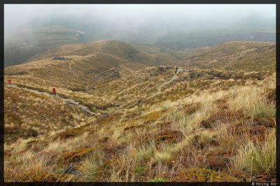
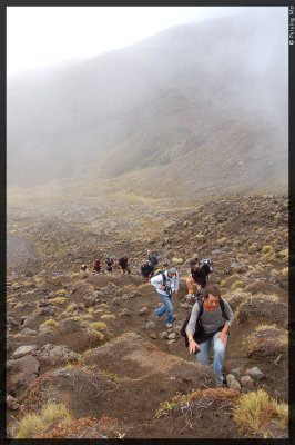 The visibility is low at times |
 When the sun peaks through, I can see people hiking on the trail |
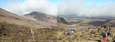 Panoramic view at the end of the "Devil's Staircase" |
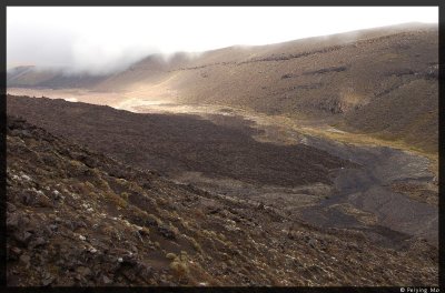
 The fast moving clouds form interesting shadows over the valley |
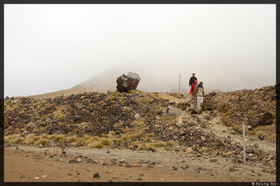
 First major stop: at the base of Mt. Ngauruhoe |
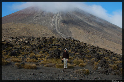 The streak from the mountain top is a sign that the volcano is very much alive and active |
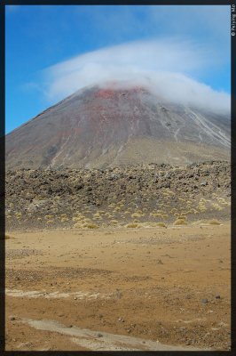 The perfect coned mountain is only one of the vents of Tongariro range |
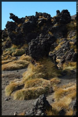 Evidence of eruptions from years ago |
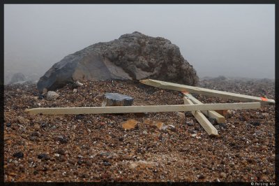
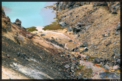
 The poles mark the path, extremely important on days with low visibility |
 The South Crater |
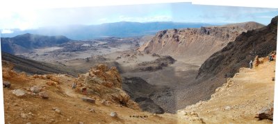 Panoramic view of the South Crater |
 More steep hike between boulders and uneven terrain |
 This is the spot to start the optional hike to the name sake peak, which is completely covered by the clouds |
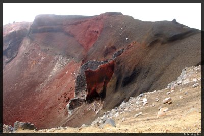 The Red Crater |
 The wind is stiff, even the poles couldn't sustain it. |
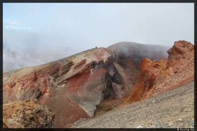 Another view of the Red Crater |
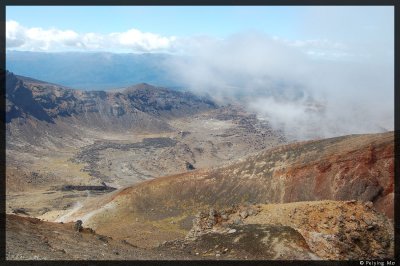 View of the Red Crater and beyond |
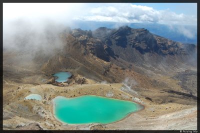
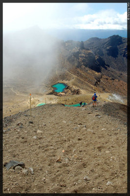 A rewarding view of the Emerald Lakes when coming down the hill |
 The loose volcanic surface means you slide your shoes in the dirt and let the gravel carry you down |
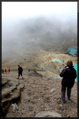
 The wind is howling and the clouds glide the surface of the lakes |
 Occasionally the sun breaks though the clouds |
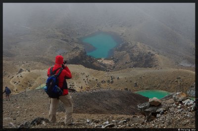
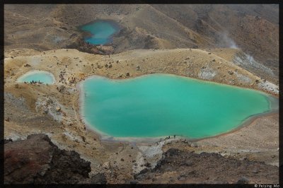 The colors of the lakes come from the discharges from the volcanoes |
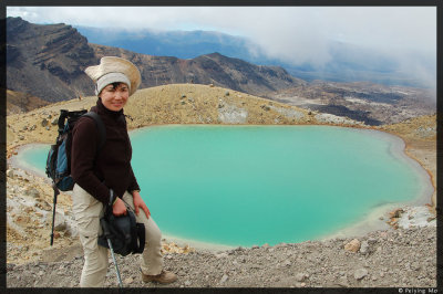 The stiff wind is almost unbearable but there is always time to pose for a photo |
 I was standing at the top of the hill to take some of the lake photos |
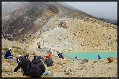 Can't find a better view for a lunch break |
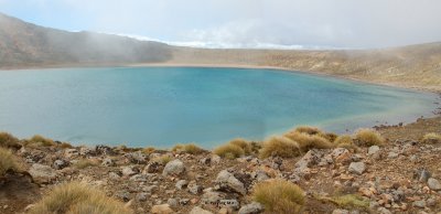
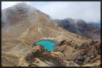 The three lakes carry a slightly different color from one another |
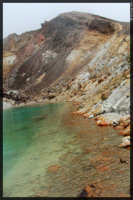
 The lake water is not drinkable due to high mineral content |
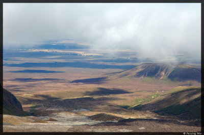
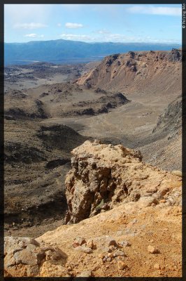
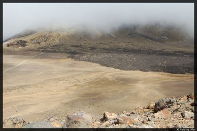
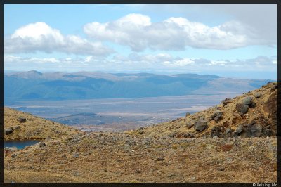 View of the east side of the park |
 As the day goes by, the weather worsens |
 The Central Crater |
 Walking at the edge of the Central Crater |
 On the right of the path is the Blue Lake, almost grayish under the cloudy sky |
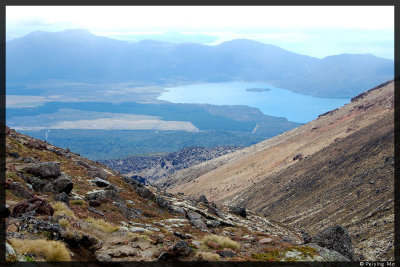 A view of Lake Rotoaira |
 The path is right along the hill side |
 Ketetahi Hut is in sight, the only other restroom stop on this entire hike |
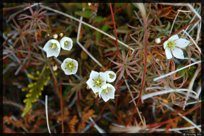 A few wild flowers thrive in this harsh climate |
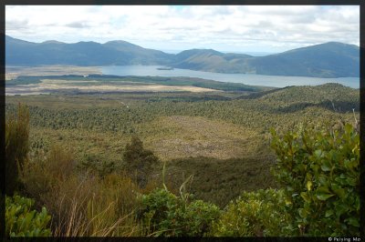
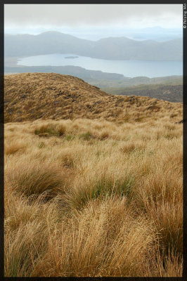 A view of Lake Rotoaira under rain clouds |
 Sulphur smell is in the air, the privately owned hot springs are nearby |
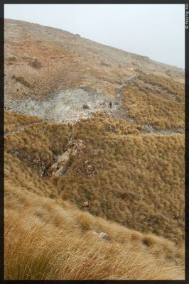 The path zigzags along the hill side, taking me up and down |
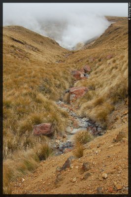
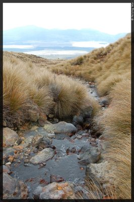 Looking down, a creek is running down hill. |
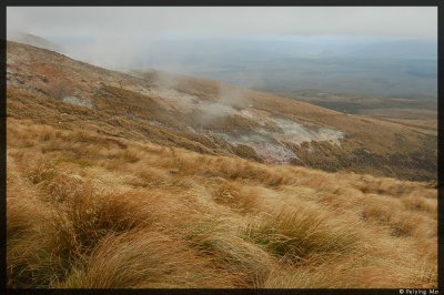
 Looking up and back, the rain clouds are tailgating me |
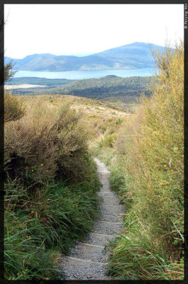 All of a sudden, there is sign of life and the grasses are waist high |
 I am finally out of the clouds |
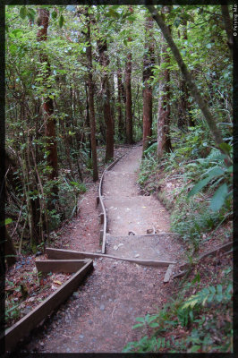 Path consists of uneven size steps through the native forest - about an hour walk |
 The last creek before reaching the car park |
| comment | share |