


|
|
|
|
|
|
| Nancy | profile | all galleries >> Travel >> North to Alaska >> Alaska Highway | tree view | thumbnails | slideshow |
| previous page | pages 1 2 3 ALL | next page |
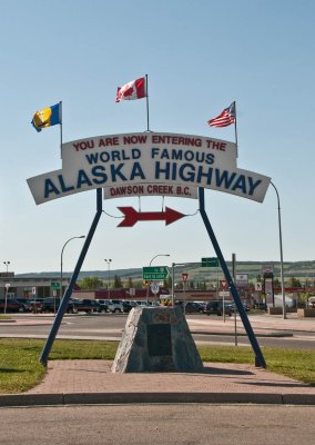 Start of Alaska Highway - Dawson Creek |
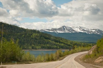 The road west. |
 |
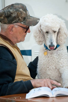 Jan and Jamie discussing the trip. |
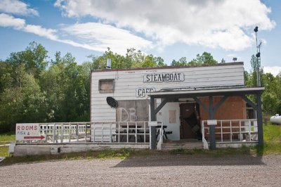 Steamboat Cafe - a recommended stop in the past. |
 |
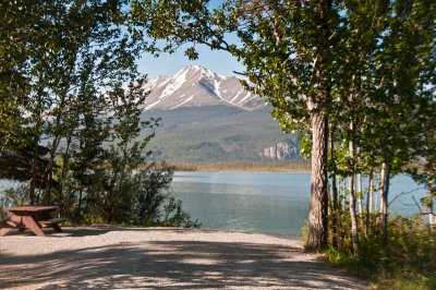 Muncho Lake. The most beautiful campsite we've ever had. |
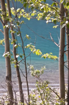 |
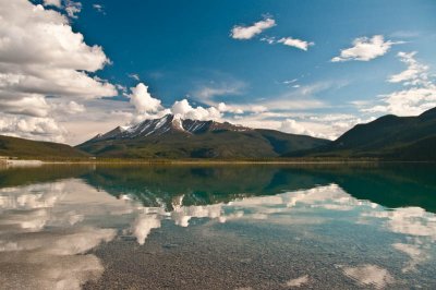 Muncho Lake |
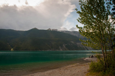 Muncho Lake |
 Muncho Lake |
 |
 |
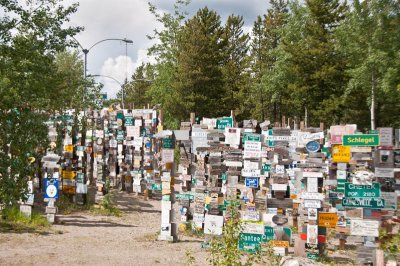 Watson Lake Sign Forest |
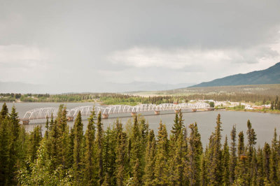 Teslin Bridge |
 Beginning of seeing totem poles |
 |
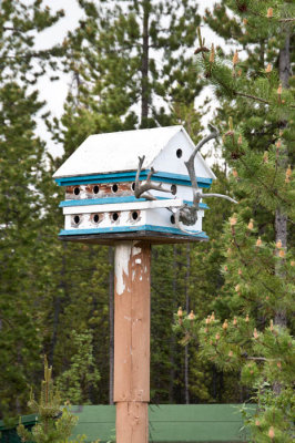 A well-built bird house |
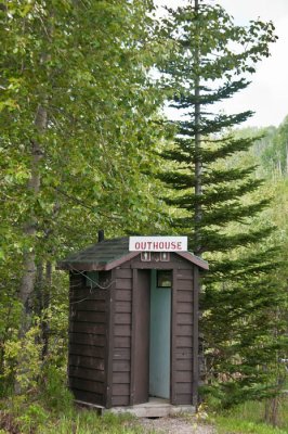
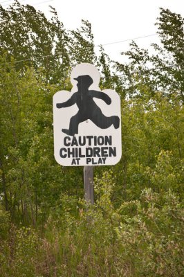 I liked the sign |
Teslin Lake |
 End - Delta Junction |
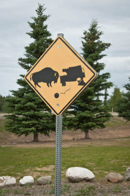 Consider yourself warned! |
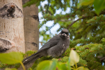
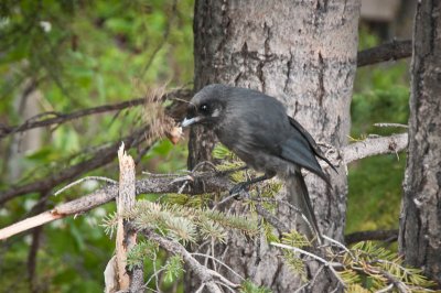
 s state bird.jpg |
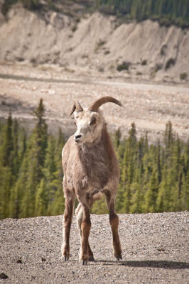 Animals along the way. |
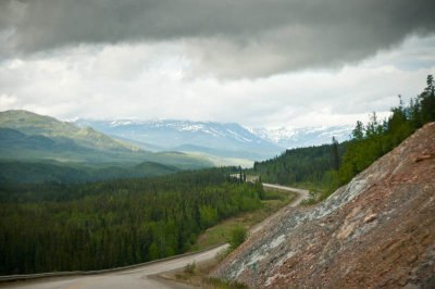
 A quick shot through windshield. |
 |
| previous page | pages 1 2 3 ALL | next page |
| comment |
| Guest | 05-Feb-2011 11:17 | |
| Deborah | 03-Feb-2011 17:52 | |
| Robert | 31-Jan-2011 21:44 | |
| Roger Bailey | 31-Jan-2011 21:32 | |
| Ed Duverger | 31-Jan-2011 20:21 | |
| Barry Ailetcher | 31-Jan-2011 17:47 | |
| GaryNZ | 31-Jan-2011 08:08 | |
| Rich Strobel | 31-Jan-2011 05:46 | |