


|
|
|
|
|
|
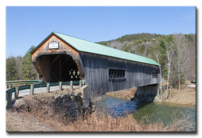
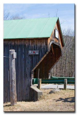
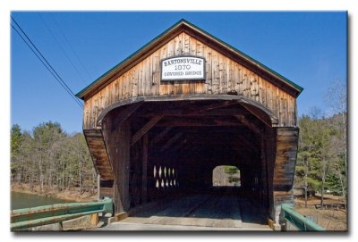
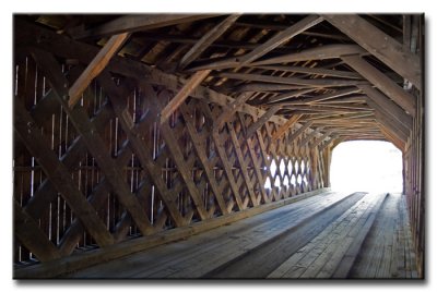
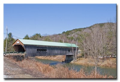
| Ernest Waldron Jr | profile | all galleries >> Vermont - Covered Bridges >> Bartonsville Covered Bridge - VT-13-11 | tree view | thumbnails | slideshow |
The Bartonsville Covered Bridge was destroyed in the flooding from hurricane Irene on August 28, 2011.
Click to see video.
World Guide No.: 45-13-11
Latitude: N43 13.43
Longitude: W72 32.22
 _MG_2273.jpg |
 _MG_2282.jpg |
 _MG_2283.jpg |
 _MG_2285.jpg |
 _MG_2270.jpg |
 _MG_2290.jpg |
| comment | share |
| Coleen Perilloux Landry | 29-Aug-2011 23:52 | |