


|
|
|
|
|
|
| ecoRidge | profile | all galleries >> Artful Maps >> Photo Maps | tree view | thumbnails | slideshow |
| previous page | pages 1 2 3 4 5 6 7 8 ALL | next page |
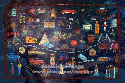 The Mother Road |
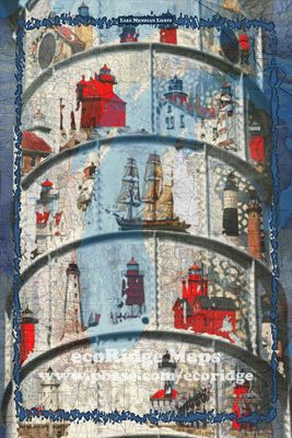 Lake Michigan Lights |
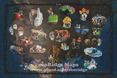
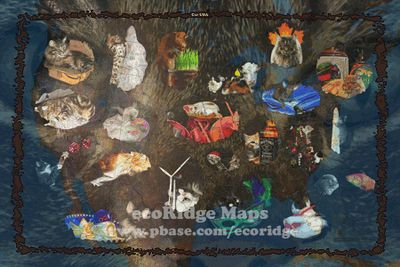 Cat USA |
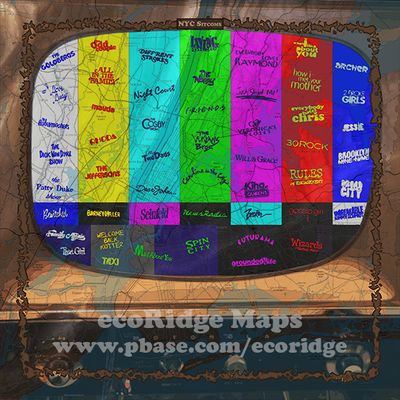 NYC Sitcoms |
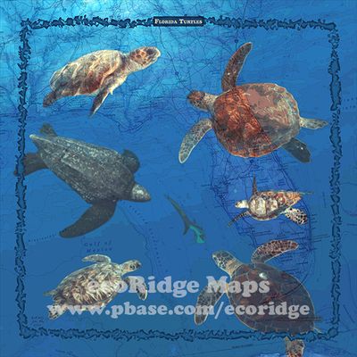 Florida Turtles |
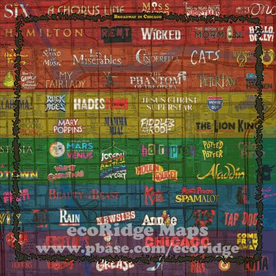 Broadway in Chicago |
 Dog USA |
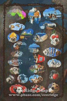 Lake Michigan Dogs |
 Major Florida Hurricanes |
 Space USA |
 Southwest National Parks |
| previous page | pages 1 2 3 4 5 6 7 8 ALL | next page |
| comment | share |