


|
|
|
|
|
|
| ecoRidge | profile | all galleries >> Artful Maps >> Photo Maps | tree view | thumbnails | slideshow |
| previous page | pages 1 2 3 4 5 6 7 8 ALL | next page |
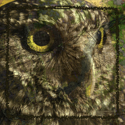 Cape Burrow |
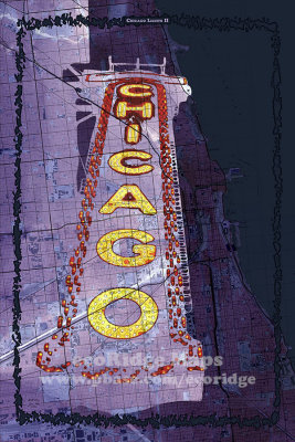 Chicago Lights II |
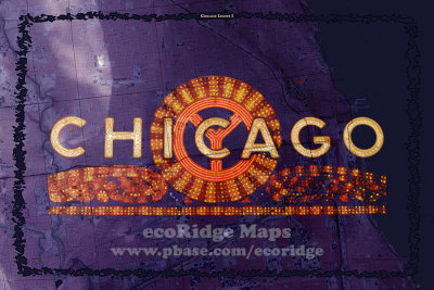 Chicago Lights 1 |
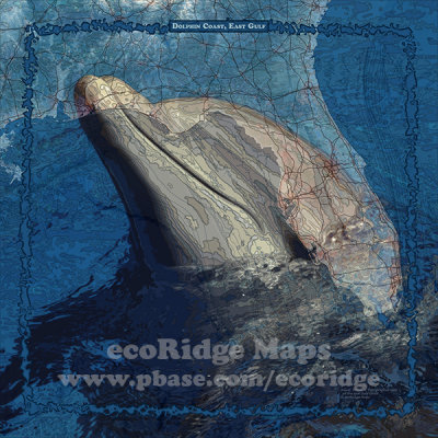 Dolphin Coast, East Gulf |
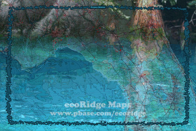 Florida Springs |
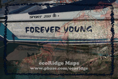 Forever Young, SW FL |
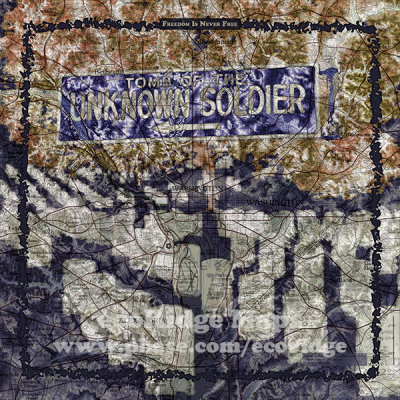 Freedom is Never Free |
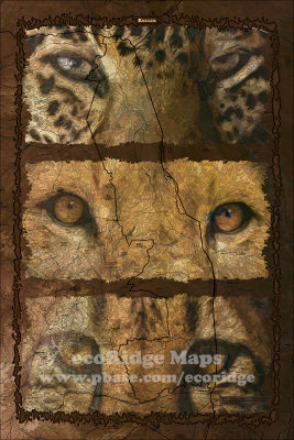 Kruger |
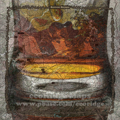 Kentucky Bourbon |
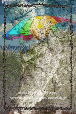 Michigan Beach |
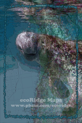 Nature Coast |
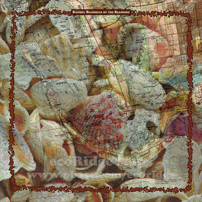 Sanibel Seashells by the Seashore |
| previous page | pages 1 2 3 4 5 6 7 8 ALL | next page |
| comment | share |