


|
|
|
|
|
|
| ecoRidge | profile | all galleries >> Artful Maps >> Photo Maps | tree view | thumbnails | slideshow |
| previous page | pages 1 2 3 4 5 6 7 8 ALL | next page |
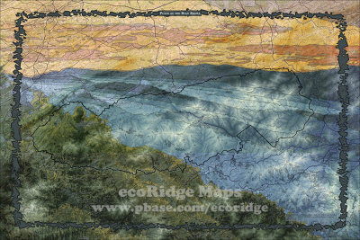 Place of the Blue Smoke |
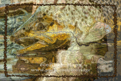
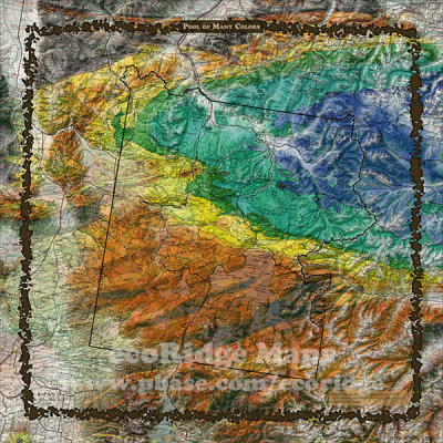 Pool of Many Colors |
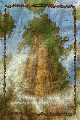 Rising Up Above |
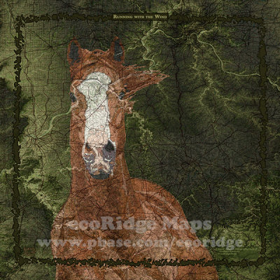
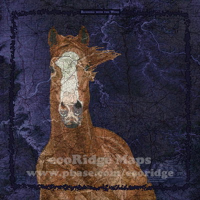 Running With the Wind BL |
 Running With the Wind GR |
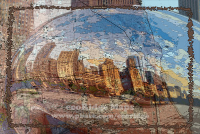 State of Bean |
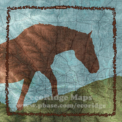 The Climb |
 The Holy Waters |
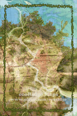 WI Dells |
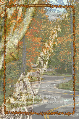 Winding Path Through the Trees |
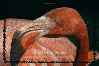 50 Shades of Flamingo |
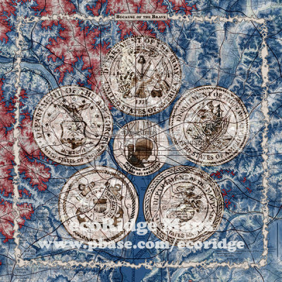 Because of the Brave |
| previous page | pages 1 2 3 4 5 6 7 8 ALL | next page |
| comment | share |