


|
|
|
|
|
|
| DRH | profile | all galleries >> Galleries >> Mt. Molly Hike - 05/17/2010 | tree view | thumbnails | slideshow |
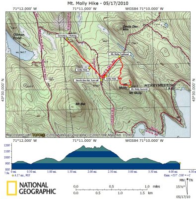 Mt. Molly Hike on Topographical Map |
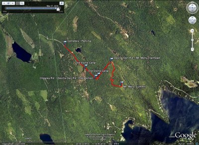 Mt. Molly Hike on Google Earth |
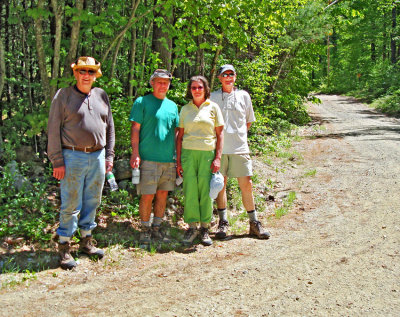 Near the Cemetary on Chesley Rd. |
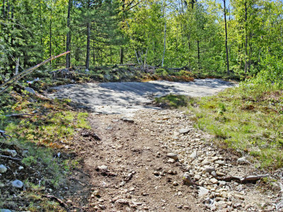
 Mt. Molly Trail off Devil's Den Rd. |
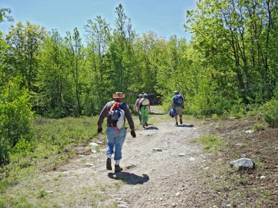
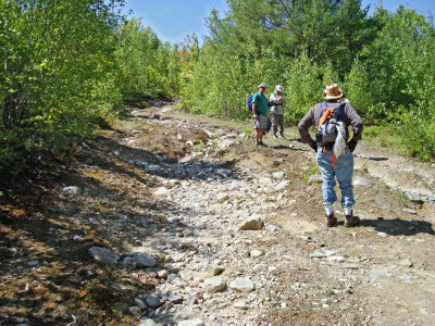 Mt. Molly Trail |
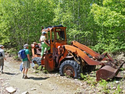 Old Front-end Loader Along Trail |
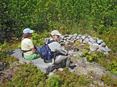 Large Fire Pit & Granite Bench |
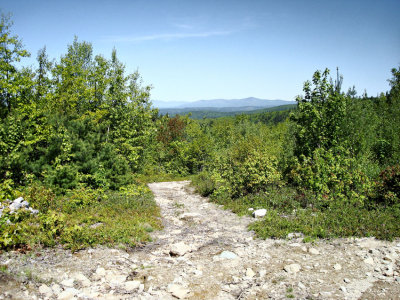 View Northwest From Near the Granite Bench |
 Granite Ledge Face |
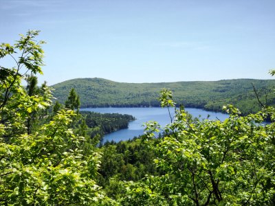 At the Peak - View of Merrymeeting Lake |
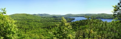 Panorama 1 |
Panorama 2 |
Panorama 3 |
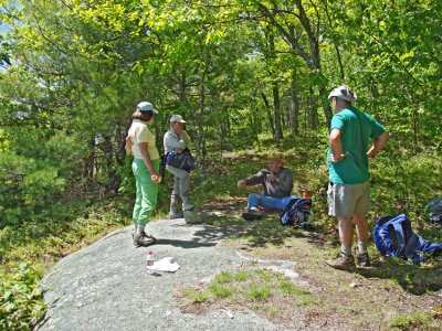 Relaxing at the Summit |
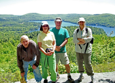 Our Group at the Summit; Merrymeeting Lake |
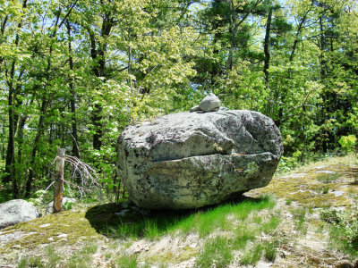 Large Boulder Found Near the Summit |
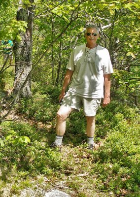 Don at the Summit |
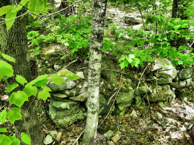
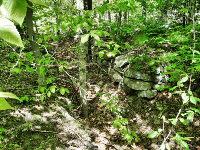 Devil's Den Rd. Cellar Hole - Photo #1 |
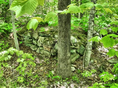
 Devil's Den Rd. Cellar Hole - Photo #2 |
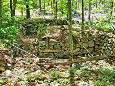
 Devil's Den Rd. Cellar Hole - Photo #3 |
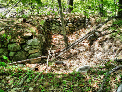
 Chesley Rd. Cellar Hole - Photo #1 |
 Chesley Rd. Cellar Hole - Photo #2 |
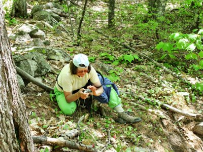 Bev Photographing Flower |
| comment | share |