


|
|
|
|
|
|
| DRH | profile | all galleries >> Galleries >> Mt. Cardigan Hike | tree view | thumbnails | slideshow |
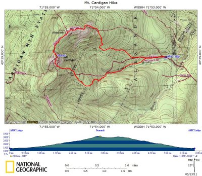 Mt. Cardigan Hike on Topographical Map |
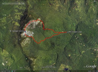 Mt. Cardigan Hike on Google Satellite Image |
Panorama View During Ascent |
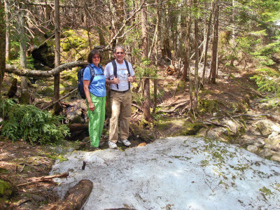 Bev and Tim by Area of Ice |
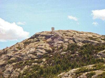
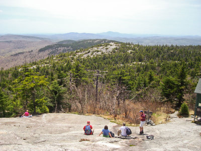 View From About 75% up to Mt. Cardigan Summit |
Panorama View |
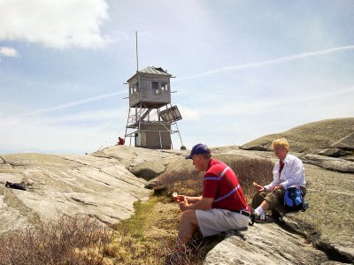 Fire Tower At the Summit & Time for Lunch (Paul and Eleanor) |
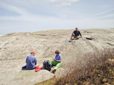 Rich, Bev and Tim at Summit |
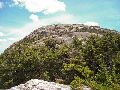 Mt. Cardigan from Trail Toward Firescrew Mtn. |
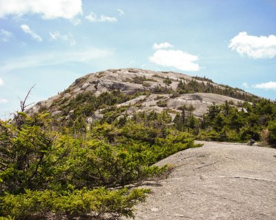 Another View of Mt. Cardigan on way to Firescrew Mtn. |
 Mt. Cardigan from Firescrew Mountain |
| comment | share |