


|
|
|
|
|
|
| Dave Thomas | profile | all galleries >> Spots In NE Pennsylvania >> Archbald Pothole | tree view | thumbnails | slideshow |
A large example of a glacial pothole which was discovered in 1884 when coal miners blasting a tunnel let loose a deluge of round stones and water. In 1961 the area became a Pennsylvania state park. Some of the nearly 150 acres surrounding the site has been subject to mine reclaimation and there are eventual plans to add some recreational facilities at this park. There is also a Wikipedia entry for the pothole.
The geological explanation has a few minor variations but is ascribed to abrasion from rocks and sand carried along by water, either from the melting Wisconsin Ice Sheet coverage or from a lake on top of the ice. The ice sheet covered the area about fifteen thousand years ago. The pothole is about 38 feet deep and has an elliptical cross-section as large as 24 by 42 feet.
The Archbald Pothole State Park is along Business Route 6 southwest of Carbondale.
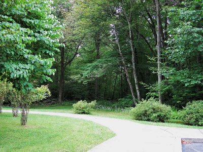 Surroundings |
 Discovery Info |
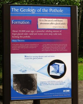 Geology Info |
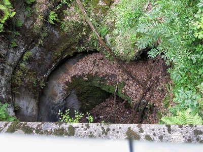 From Platform |
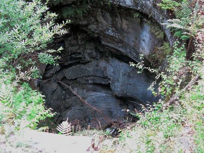 Looking In |