photo sharing and upload picture albums photo forums search pictures popular photos photography help login
David S. Johnston | profile | all galleries >> Scenic, Landscape, Nature >> Appalachian Trail Vermont, New Hampshire, Maine 2002-04 tree view | thumbnails | slideshow

Appalachian Trail Vermont, New Hampshire, Maine 2002-04

These are relatively primitive pictures, taken before I had worked out some techniques for efficient photography during lightweight, long-distance backpacking. The 2002 shots were with a Canon film camera, miserably scanned by Kodak. They just did an awful job, and after three remakes I just gave up. The few pictures shown here are what I was able to salvage from that mess. The 2004 pictures were with a Sony DSCS-85, my first serious digital camera.
AT Ottauquechee.jpg
AT Ottauquechee.jpg
AT Moosilauke.jpg
AT Moosilauke.jpg
Pemigewassett Marsh.jpg
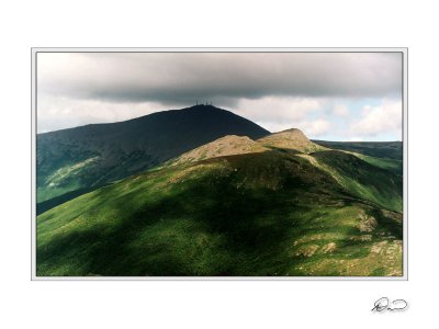
Southern Presidentials 2.jpg
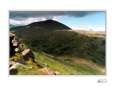
Southern Presidentials 3.jpg
Southern Presidentials.jpg
Washington fr Monroe.jpg
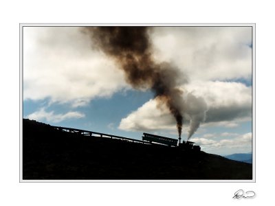
Cog Railway.jpg
Cog Railway.jpg
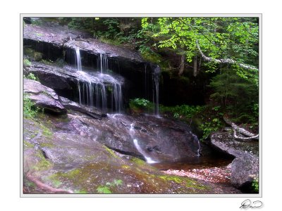
Grafton Notch Waterfall.jpg
Baldpate Clearing Storm.jpg
Baldpate Clearing Storm 2.jpg
Baldpate Fog.jpg
Baldpate Fog.jpg
Bemis Mountain Rock.jpg
Second Peak.jpg
Second Peak.jpg
Near South Pond.jpg
Near South Pond.jpg
Sluice Brook.jpg
Sluice Brook.jpg
Sluice Brook 2.jpg
Sluice Brook 2.jpg
Cairn, Mount Abraham.jpg
Cranberry Stream Marsh.jpg
Storm Approaching Horns Pond.jpg
West Peak After the Storm.jpg
Receding Storm Over Flagstaff Lake.jpg
AT Swamp, Maine.jpg
AT Swamp, Maine.jpg
Pierce Pond Stream Waterfall.jpg