


|
|
|
|
|
|
| drr1531 | profile | all galleries >> Alaska >> The Richardson Highway | tree view | thumbnails | slideshow |
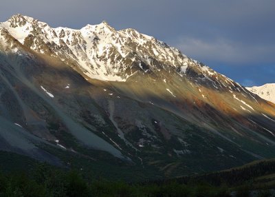
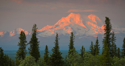
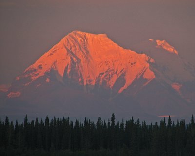 Alpenglow |
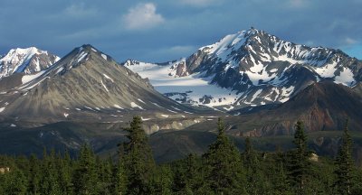
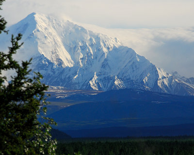 Mt. Moffit |
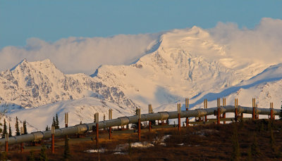 Crossing Alaska |
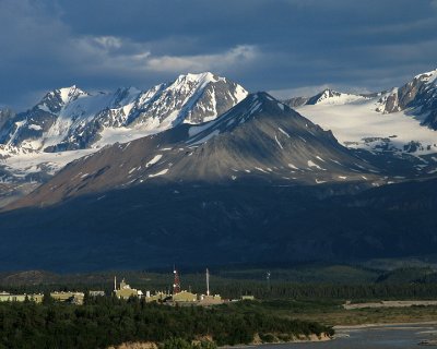 Room with a View |
 Rainbow Mountain |
 Rainbow Ridge |
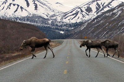 Rush Hour |
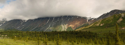 Panorama of Rainbow Ridge |
 Worthington Glacier |
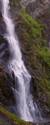 Bridal Veil Falls |
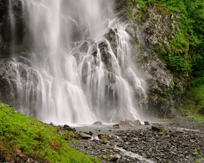 Base of the Falls |
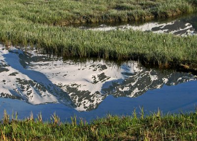 Valdez Duck Flats |
 Night Lights |
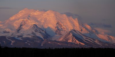
 Mt. Wrangell Alpenglow |
| comment | share |
| Martyn Unsworth | 16-Jan-2012 03:32 | |