


|
|
|
|
|
|
| Don | profile | all galleries >> #the Northern Territory# >> * the Top End from the air * | tree view | thumbnails | slideshow |
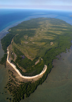
* Melville Island * |
* Fogg Dam * |
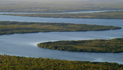
 Adelaide River |
 Micket Creek mouth |
 Howard River mouth |
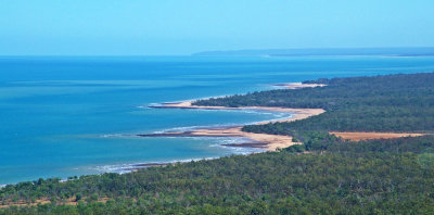
 Bynoe Harbour |
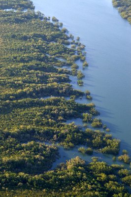 mangroves |
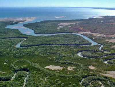
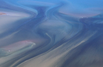
 tidal channel |
 Vernon Islands (one of) |
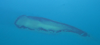 reef near Vernon Islands |
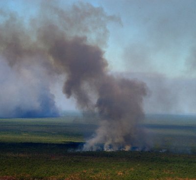 bushfire smoke |
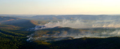 Daly River smoke |
 termite mounds |
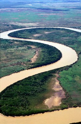
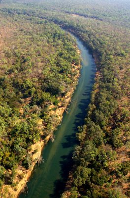 Daly River |
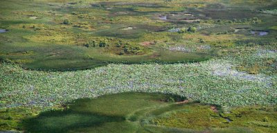
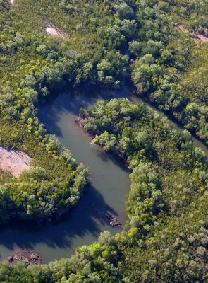
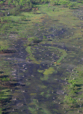
 Finniss River wetlands |
| comment |
| Kim | 30-Dec-2015 21:15 | |
| Chris K. | 16-Apr-2013 20:12 | |
| Anitta | 21-Aug-2012 05:16 | |