photo sharing and upload picture albums photo forums search pictures popular photos photography help login
dick wood | profile | all galleries >> Galleries >> 2008 September UT Moki Dugway Road tree view | thumbnails | slideshow

2008 September UT Moki Dugway Road

The Moki Dugway is located on UT-261 in southeast Utah, south of Natural Bridges National Monument. It is a series of sharp switchbacks up a steep gravel road over less than three miles. UT-261 is paved, except for the Dugway. The term "moki" is derived from the Spanish word moqui, which was a general term used by the 18th century Spanish explorers and settlers in this region to describe the Pueblo Indians they encountered.

The Moki Dugway Road takes one from the lower plateau, on road from Goosenecks, to the top of Cedar Mesa and on to Natural Bridges NP. The vertical rise is about 1100 feet.

The unusual part of the Dugway road is that you can get within a mile of the face of the mesa and cannot see how the road climbs up to the top, and even after that one can see only bits and pieces of the road above them.
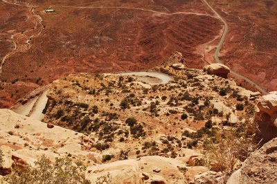
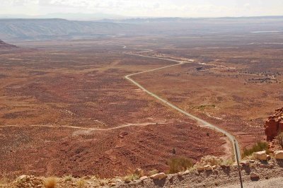
Moki-Dugway-Road-01.jpg
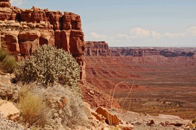
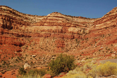
Moki-Dugway-Road-02.jpg
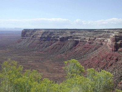
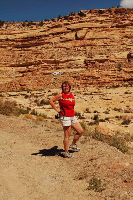
Moki-Dugway-Road-03.jpg
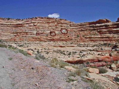
Moki-Dugway-Road-04.jpg
Moki-Dugway-Road-05.jpg
Moki-Dugway-Road-06.jpg
Moki-Dugway-Road-07.jpg