


|
|
|
|
|
|
| Dick Godfrey | profile | all galleries >> Galleries >> Wind River Camping 2009 | tree view | thumbnails | slideshow | map |
| previous page | pages 1 2 3 4 5 ALL | next page |
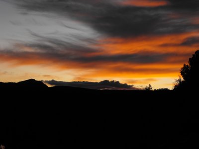 DSCF0247.JPG |
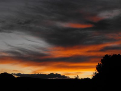 DSCF0249.JPG |
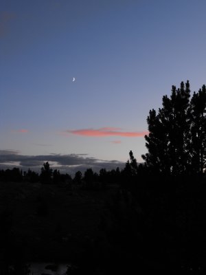 DSCF0252.JPG |
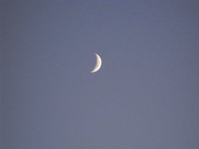 DSCF0253.JPG |
 DSCF0255.JPG |
 DSCF0256.JPG |
 DSCF0258.JPG |
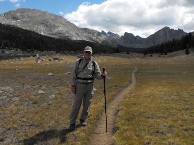
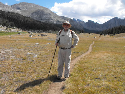
 On the trail to Shadow Lake |
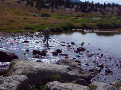 Crossing the Washaki |
| previous page | pages 1 2 3 4 5 ALL | next page |
| comment | share |
| Paolo Peggi (aka Bracciodiferro) | 09-Sep-2009 20:47 | |
| Paolo Peggi (aka Bracciodiferro) | 09-Sep-2009 20:46 | |