


|
|
|
|
|
|
| Dick Godfrey | profile | all galleries >> Galleries >> Wind River Camping 2009 | tree view | thumbnails | slideshow | map |
| previous page | pages 1 2 3 4 5 ALL | next page |
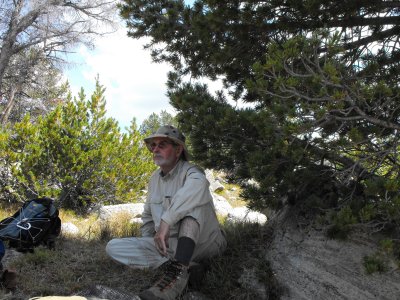 Wilson |
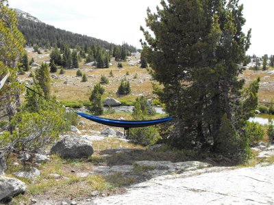 Beware the hammock |
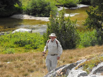 Where are all the fish? |
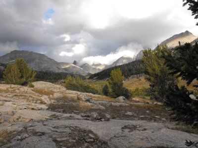
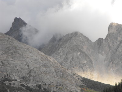
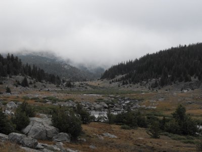 Storm clouds |
 Buttoned up for bad weather |
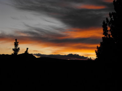
 Early mornings get pretty chilly |
 DSCF0215.JPG |
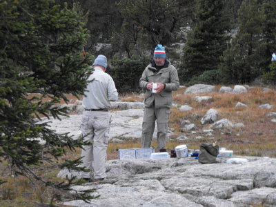
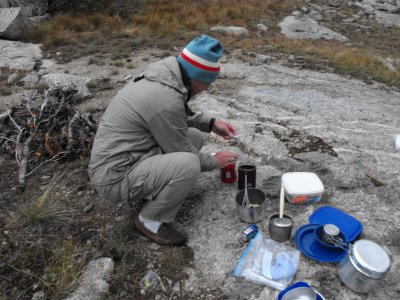
 Washing dishes |
 DSCF0221.JPG |
 DSCF0233.JPG |
 DSCF0237.JPG |
 DSCF0245.JPG |
| previous page | pages 1 2 3 4 5 ALL | next page |
| comment | share |
| Paolo Peggi (aka Bracciodiferro) | 09-Sep-2009 20:47 | |
| Paolo Peggi (aka Bracciodiferro) | 09-Sep-2009 20:46 | |