


|
|
|
|
|
|
| Dick Godfrey | profile | all galleries >> Galleries >> Wind River Camping 2009 | tree view | thumbnails | slideshow | map |
| previous page | pages 1 2 3 4 5 ALL | next page |
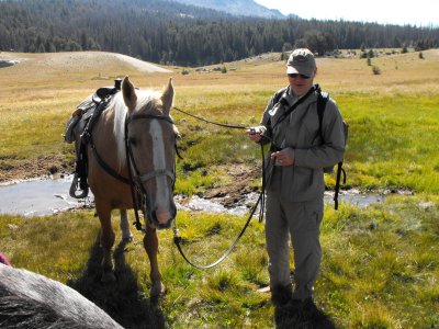 John with Cody, the moseyer |
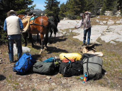 Unloading gear |
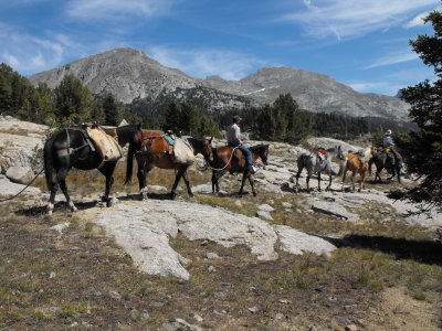 See you in a week! |
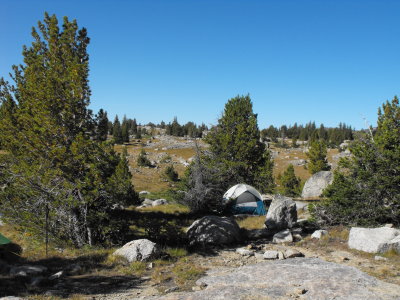
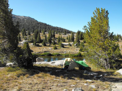 Home on Washakie Creek |
 John's place |
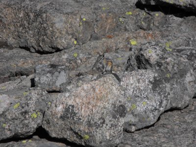 Big Game |
 Bear bag in tree |
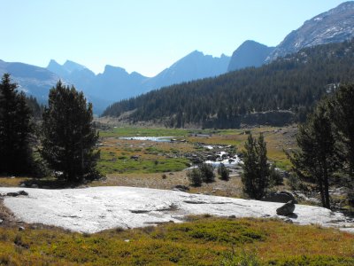 Looking Southeast from camp toward Wolf Head |
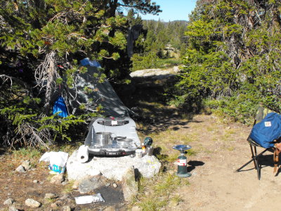 The kitchen |
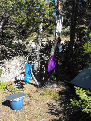 The water works |
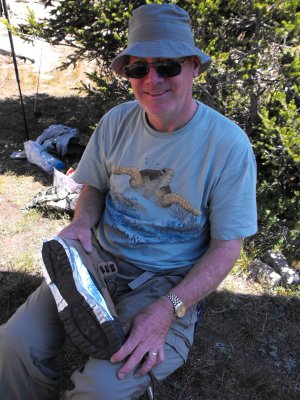 Broken boot |
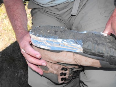 Aluminum tape first |
| previous page | pages 1 2 3 4 5 ALL | next page |
| comment | share |
| Paolo Peggi (aka Bracciodiferro) | 09-Sep-2009 20:47 | |
| Paolo Peggi (aka Bracciodiferro) | 09-Sep-2009 20:46 | |