


|
|
|
|
|
|
| Dick Godfrey | profile | all galleries >> Galleries >> Wind River Camping 2009 | tree view | thumbnails | slideshow | map |
| previous page | pages 1 2 3 4 5 ALL | next page |
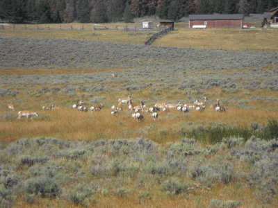 Antelope on the way to Big Sandy Lodge |
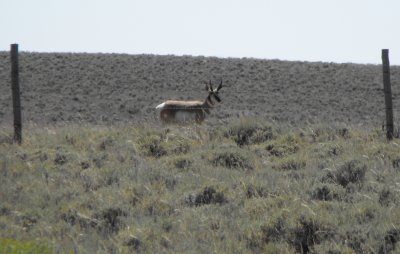 Pronghorn antelope |
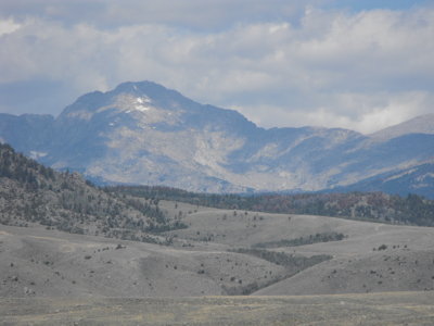 Approaching the Wind River range |
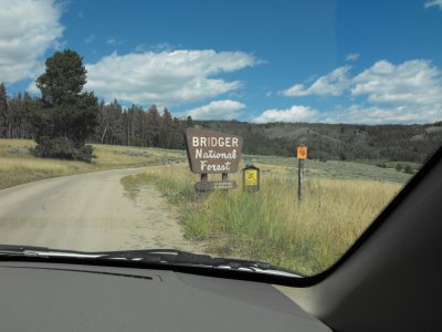 Entering the Bridger Wilderness |
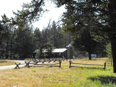 Big Sandy Lodge |
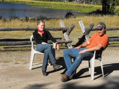 Liz and Les - Wranglers |
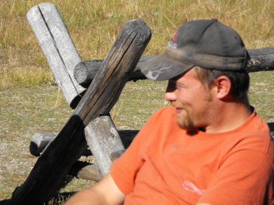 Les -Rodeo rider |
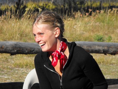 Liz - Kansas doesn't have any mountains |
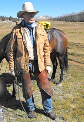 Bill |
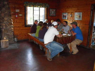 Dinner at the lodge |
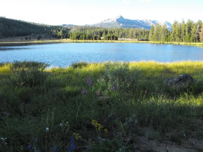 Wildflowers at Mud Lake |
 Lupine and Rabbitbush |
| previous page | pages 1 2 3 4 5 ALL | next page |
| comment | share |
| Paolo Peggi (aka Bracciodiferro) | 09-Sep-2009 20:47 | |
| Paolo Peggi (aka Bracciodiferro) | 09-Sep-2009 20:46 | |